
Gravel bike · Day trip · Loop from Füssen
Plansee & Ehrwalder Alm: dumpling soup in the November sun
Out of the fog up to the turquoise Plansee, around the Daniel and steeply up to the Ehrwalder Alm – with dumpling soup in the sun and the snowy Wetterstein range opposite.
- Distance
- 103 km
- Climbing
- 1,220 m
- Moving time
- 5½ h
- Gravel
- 30 %
Ridden by me in November 2026 · Moving time: time in motion according to the GPS recording, without breaks, rounded to the half hour.
- No car needed
Start and finish at Füssen station - Food stop
Ehrwalder Alm, km 49 - Steep climb
About 450 m of climbing in just under 4 km up to the Ehrwalder Alm - Highlight
Gravel path along the Plansee shore, km 20–26
Why it’s worth it
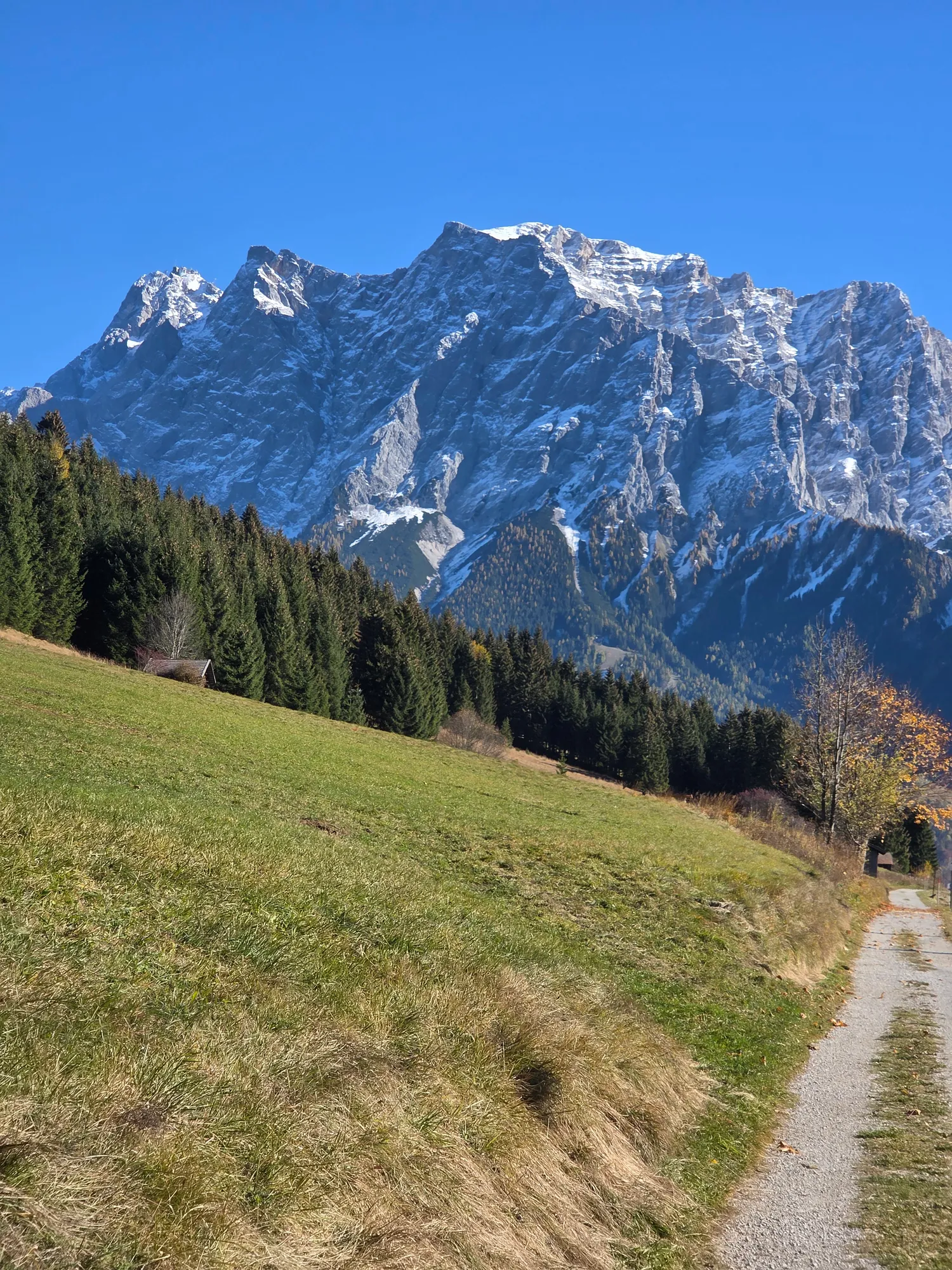
The turquoise water of the Plansee ahead of you, later the freshly snow-covered Wetterstein range with the Zugspitze, so close you could almost touch it – and in the middle of it all a dumpling soup in the sun. All in a single day, by train there and back.
The loop starts at Füssen station, takes a new cycle path up to the Plansee and from there goes around the Daniel to Lermoos. Before the Ehrwalder Alm rewards you, you have to earn it: the climb is really steep. The way back runs through the quiet Neidernach valley and along the Plansee once more.
The route
- Füssenkm 0
- Cycle path to the Planseekm 17–19
- Plansee shorekm 20–26
- Heiterwang – Lermooskm 27–42
- The rampkm 45–49
- Ehrwalder Almkm 49
- Neidernach valleykm 63–77
- Füssenkm 103
Variations
Extension
On to the Seebensee
From the Ehrwalder Alm the track carries on up to the Seebensee. In early November there was already snow on the way, so I turned back – I'll make up for it.
Alternative
Descend towards Leutasch
Instead of riding back to Füssen, descend from the Ehrwalder Alm towards Leutasch – Füssen, Plansee, Ehrwalder Alm, Leutasch and then as far as you like. There are plenty of train connections in the area for the way home.
More gravel
More gravel between Heiterwang and Lermoos
The "Rund um den Daniel" gravel bike tour uses more gravel paths between Heiterwang and Lermoos than my loop.
Rund um den Daniel ↗
On the way
km 0 · Start
Füssen in the fog
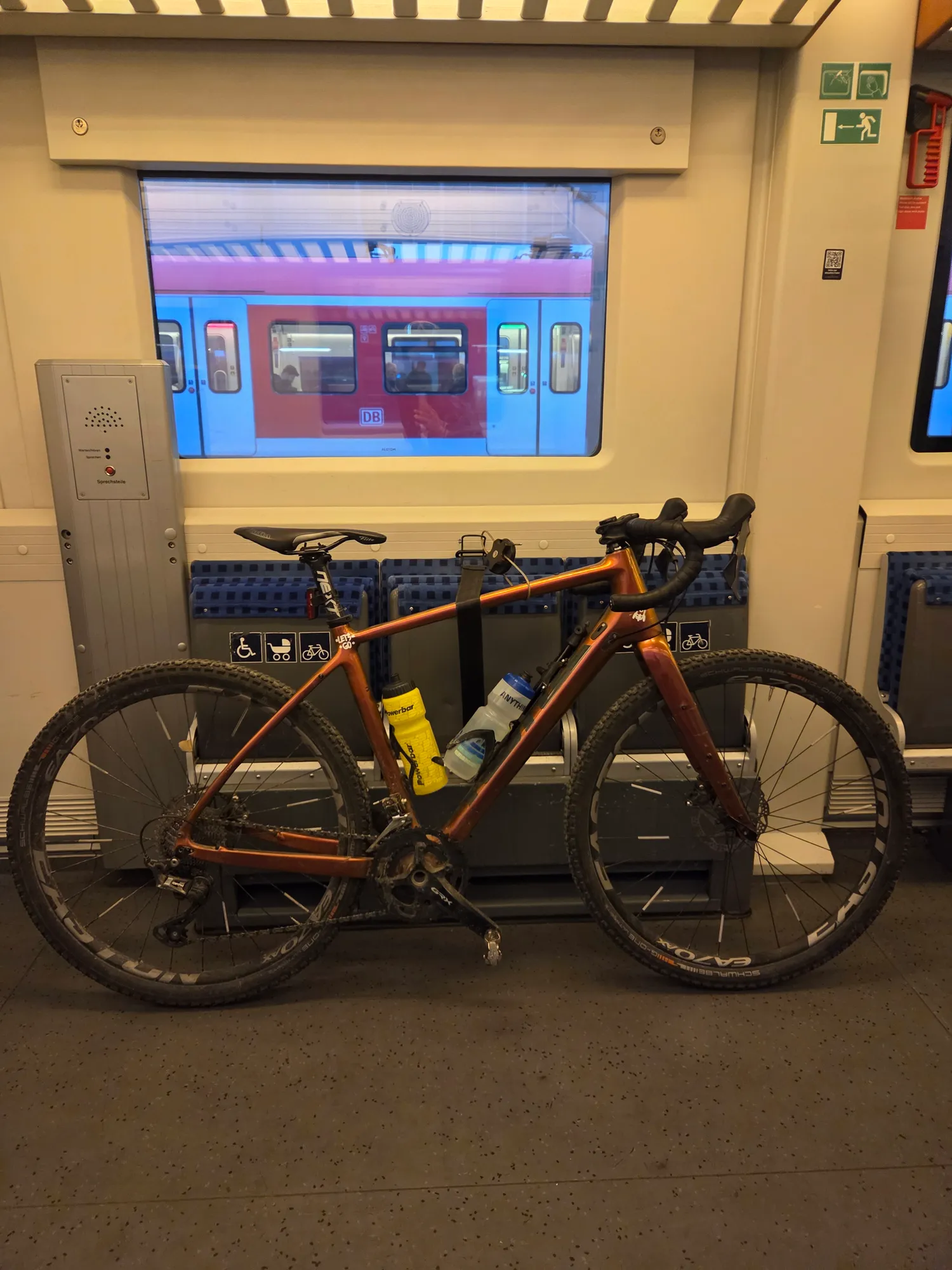
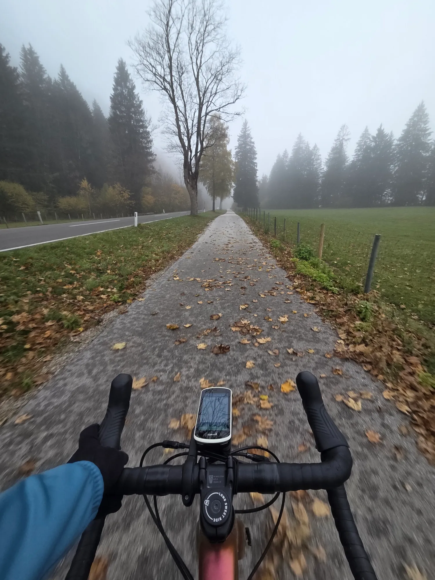
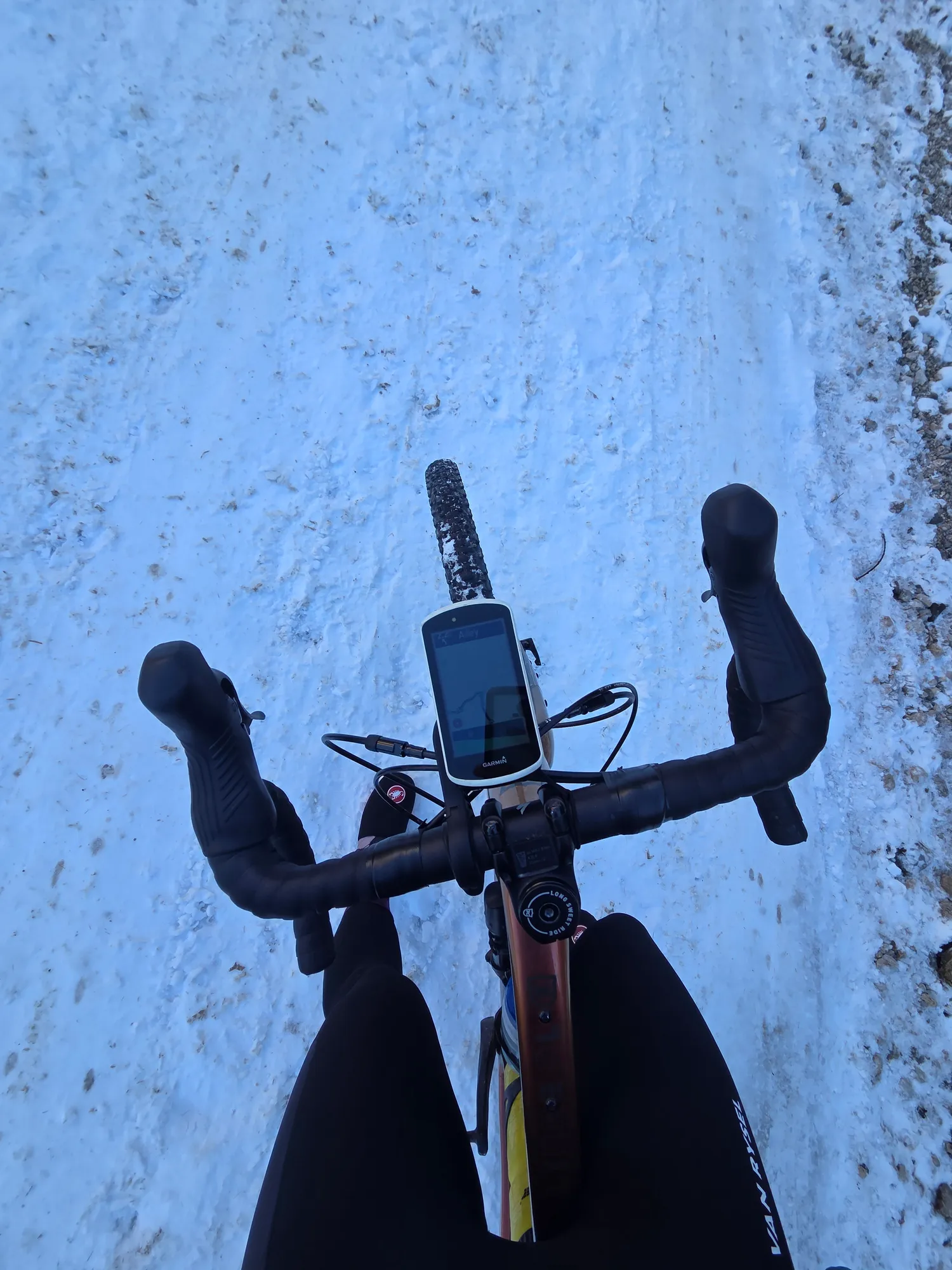
The regional train drops me in Füssen, and there's no sign of the mountains. The fog hangs thick over the Lech, the weir roaring somewhere inside it. Hard to believe this is meant to be a sunny day. Paths covered in autumn leaves lead me towards Reutte.
km 17–19 · Climb
New cycle path up to the Plansee
From Breitenwang a new cycle path climbs up to the Plansee, and it's really good: instead of grinding up the steep road with the cars, you pedal uphill away from the traffic. Somewhere on the way up, I leave the fog behind.
km 20–26 · Highlight
Along the Plansee shore
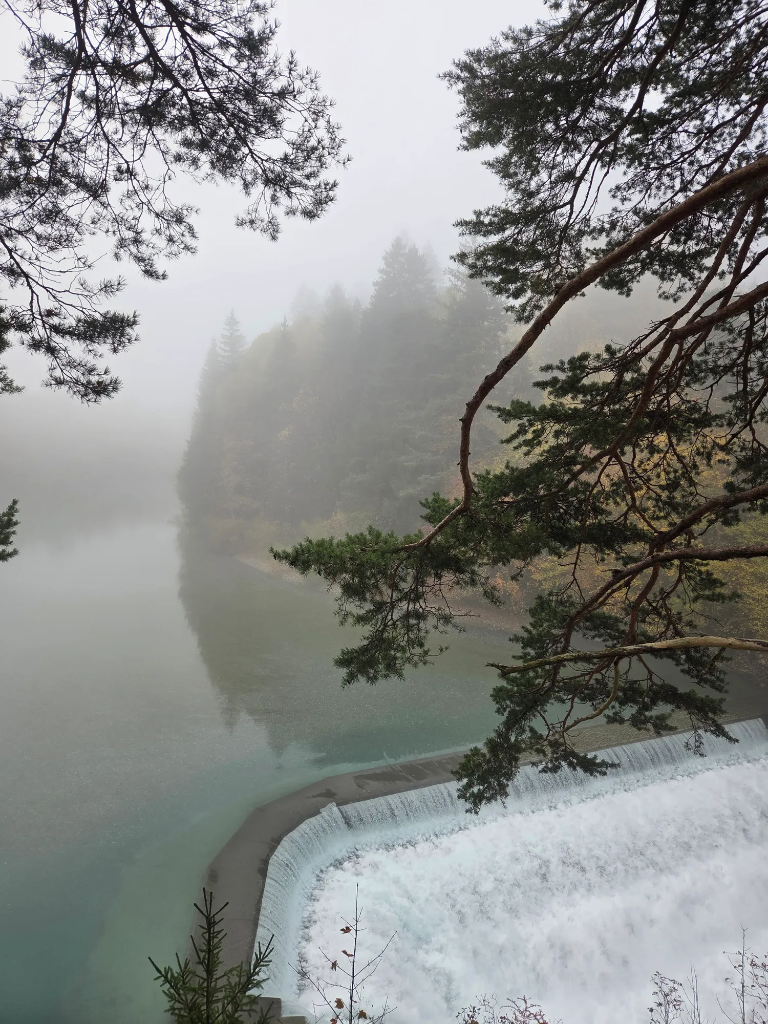
Then you're at the top. There it is, the Plansee, turquoise between the pines, the mountains behind it in the sun. The first highlight of the day is the gravel path along the shore. If you manage to catch a moment when nobody else is around and the light falls on the turquoise water like this, you don't really want to ride on.
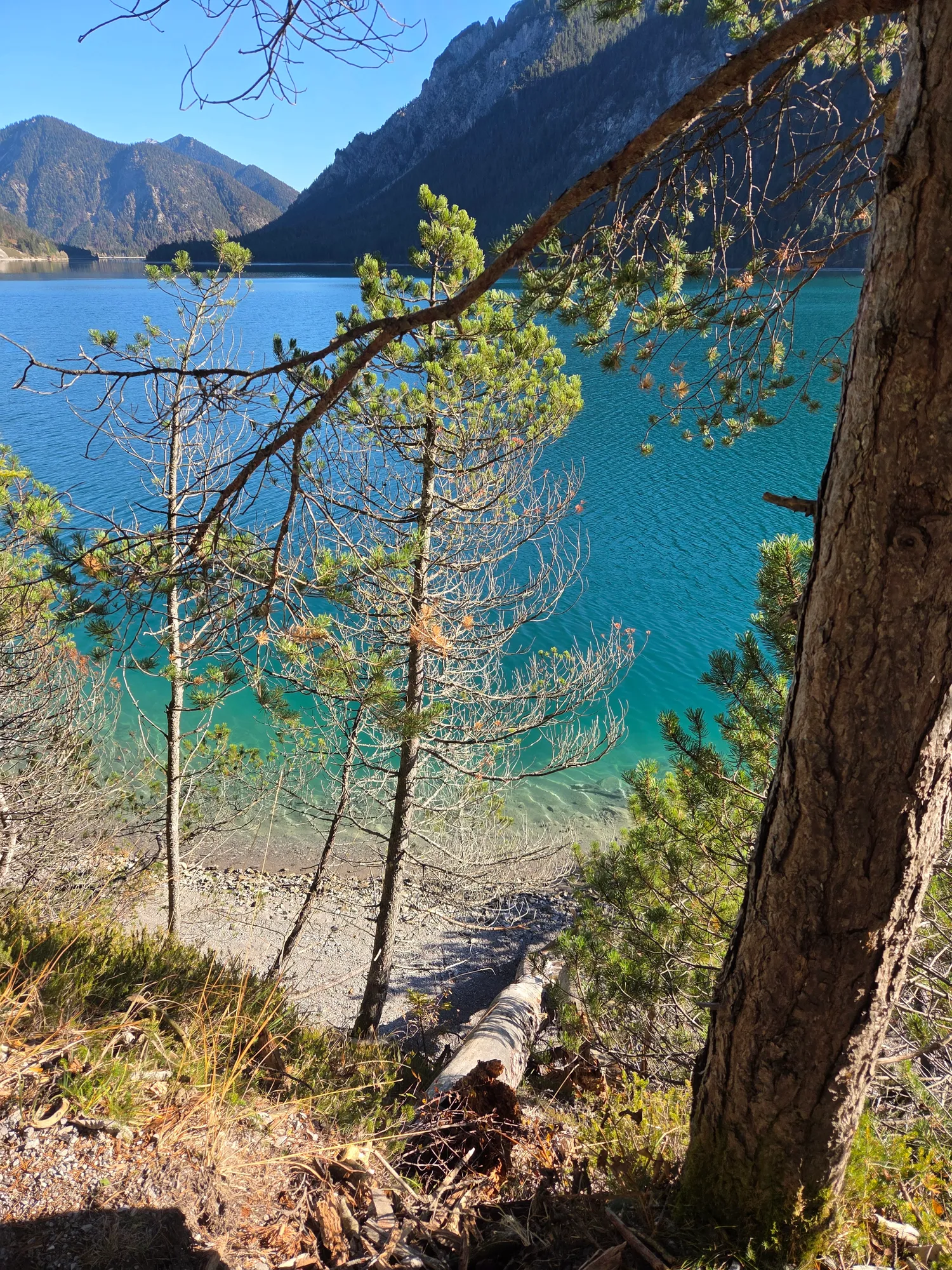
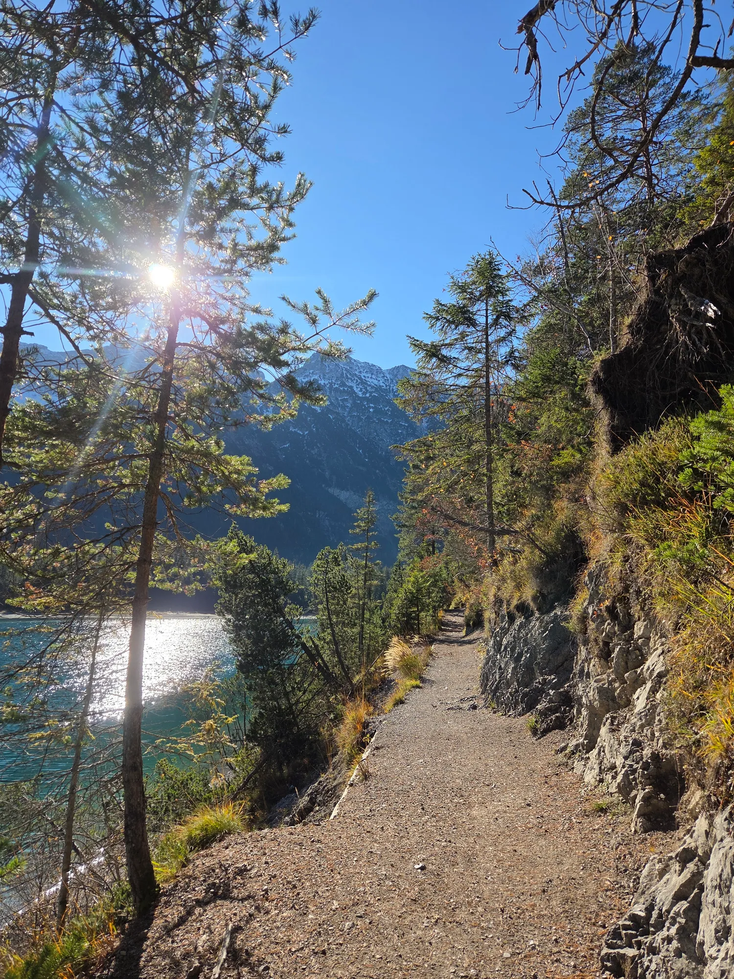
Such beautiful light on the turquoise water – almost unreal.
km 27–42 · On the way
Around the Daniel to Lermoos
From the Plansee I roll on to the Heiterwanger See, then via Heiterwang and Bichlbach towards Lermoos. Between Heiterwang and Lermoos there's also a variant with more gravel – have a look at the "Rund um den Daniel" gravel loop.
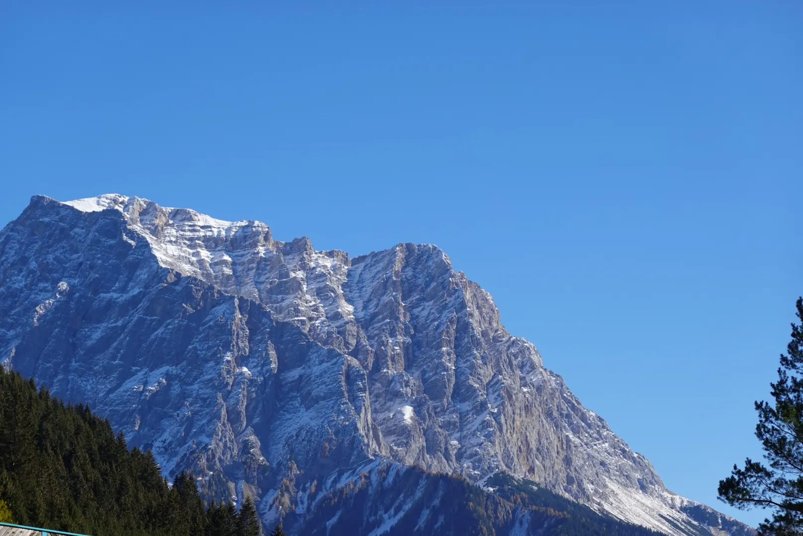
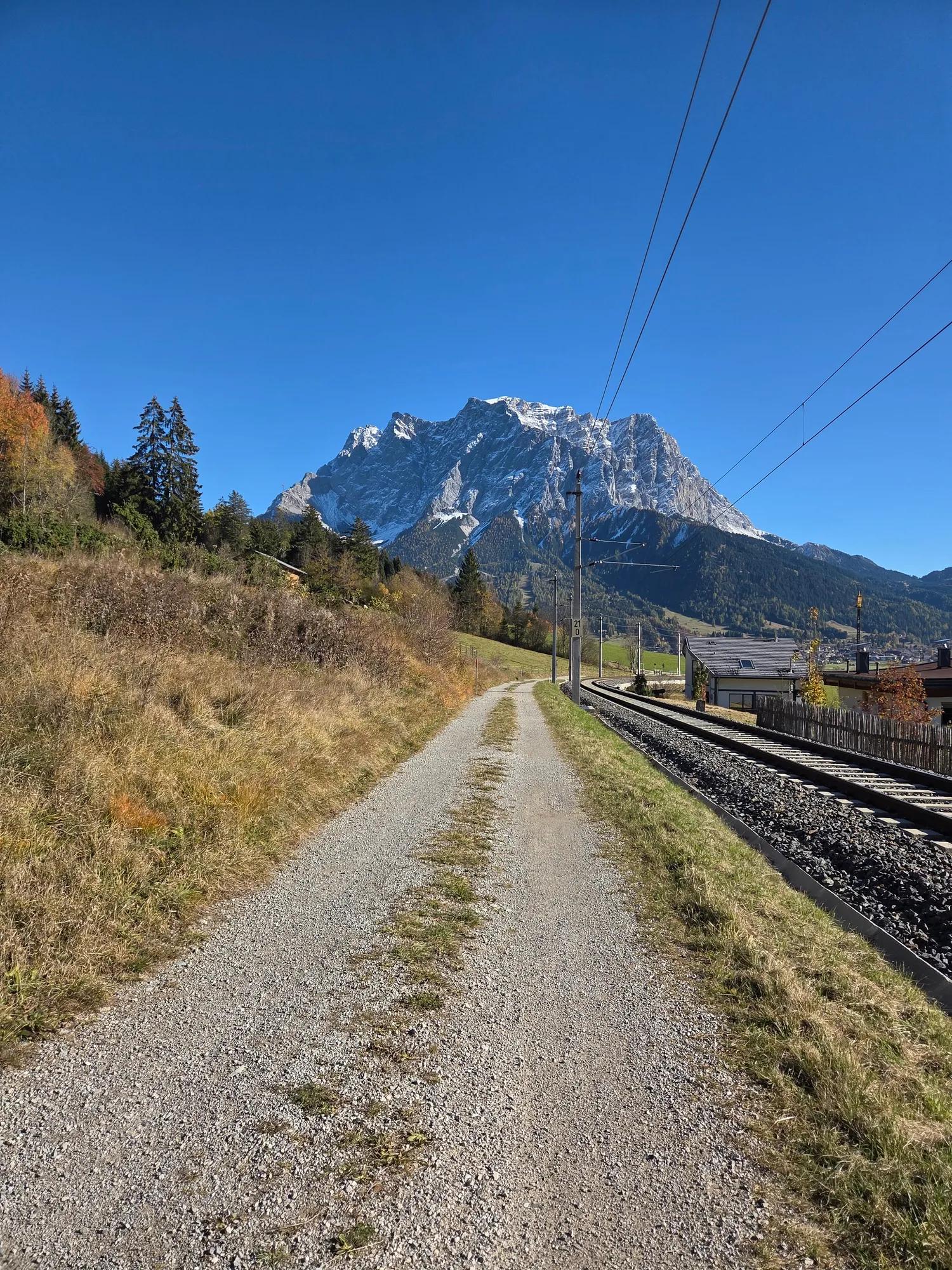
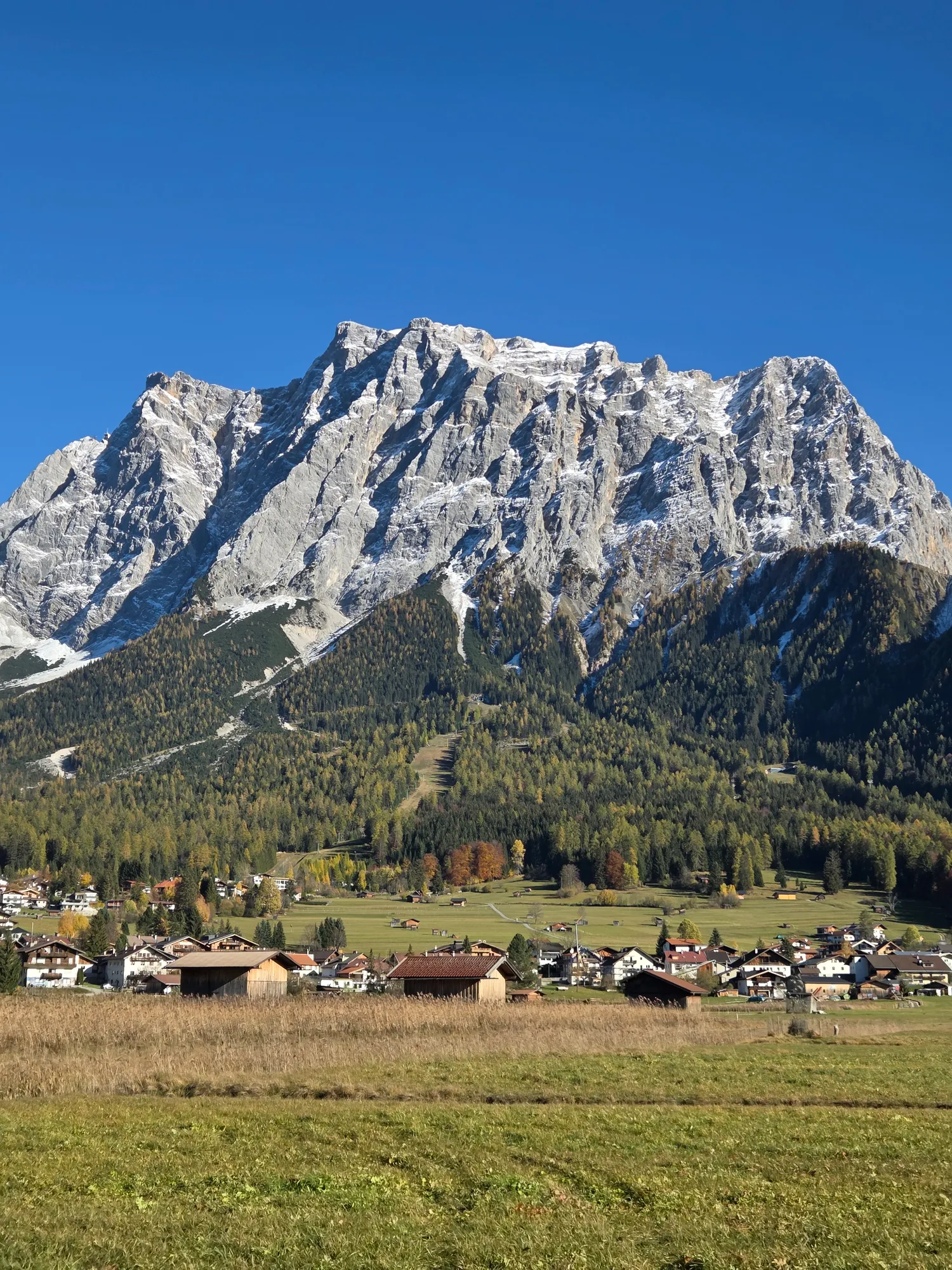
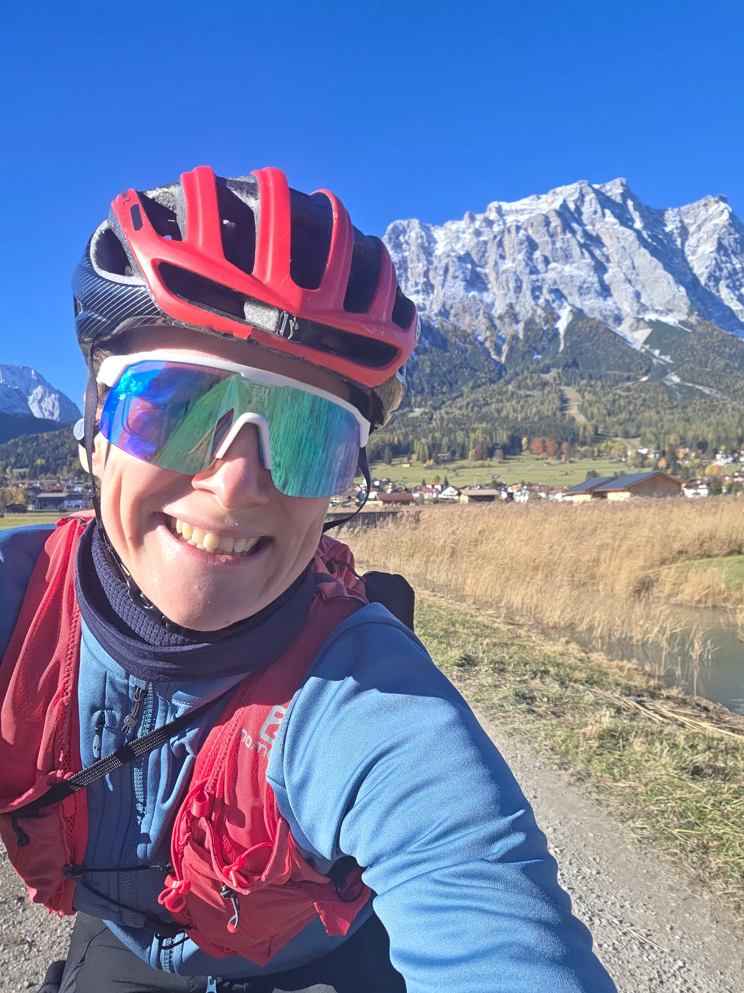
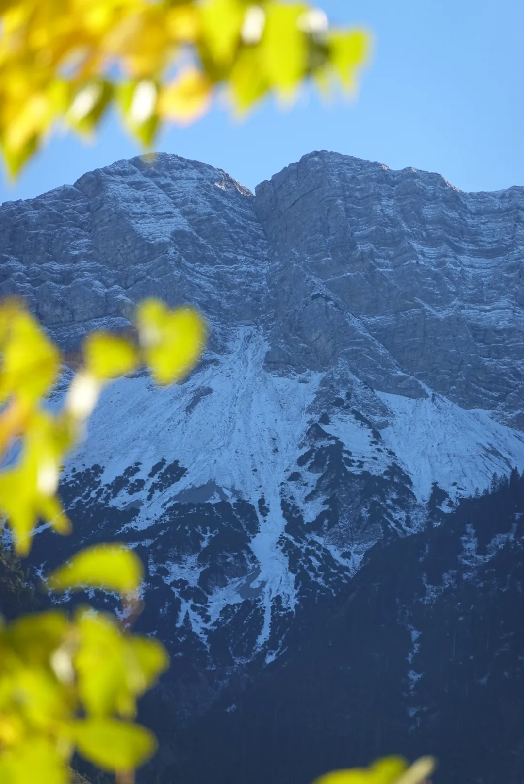
From here on, the view belongs to the Wetterstein range with the Zugspitze. The ridge is freshly dusted with snow, set against a sky so blue it looks unreal. Near Lermoos a gravel path runs alongside the railway, and at the end of the straight that wall of rock and snow is waiting. These peaks are the second highlight – I can hardly stop staring.
km 45–49 · Heads-up
Steeply up to the Ehrwalder Alm
Beyond Ehrwald it gets serious: the way up to the Ehrwalder Alm is really quite steep. At least there's no snow on the way up, and at around 1,500 metres you reach the Alm.
Tip: About 450 m of climbing in just under 4 km, over 11 % on average – almost all paved, only the last few hundred metres are gravel.
km 49 · Food stop
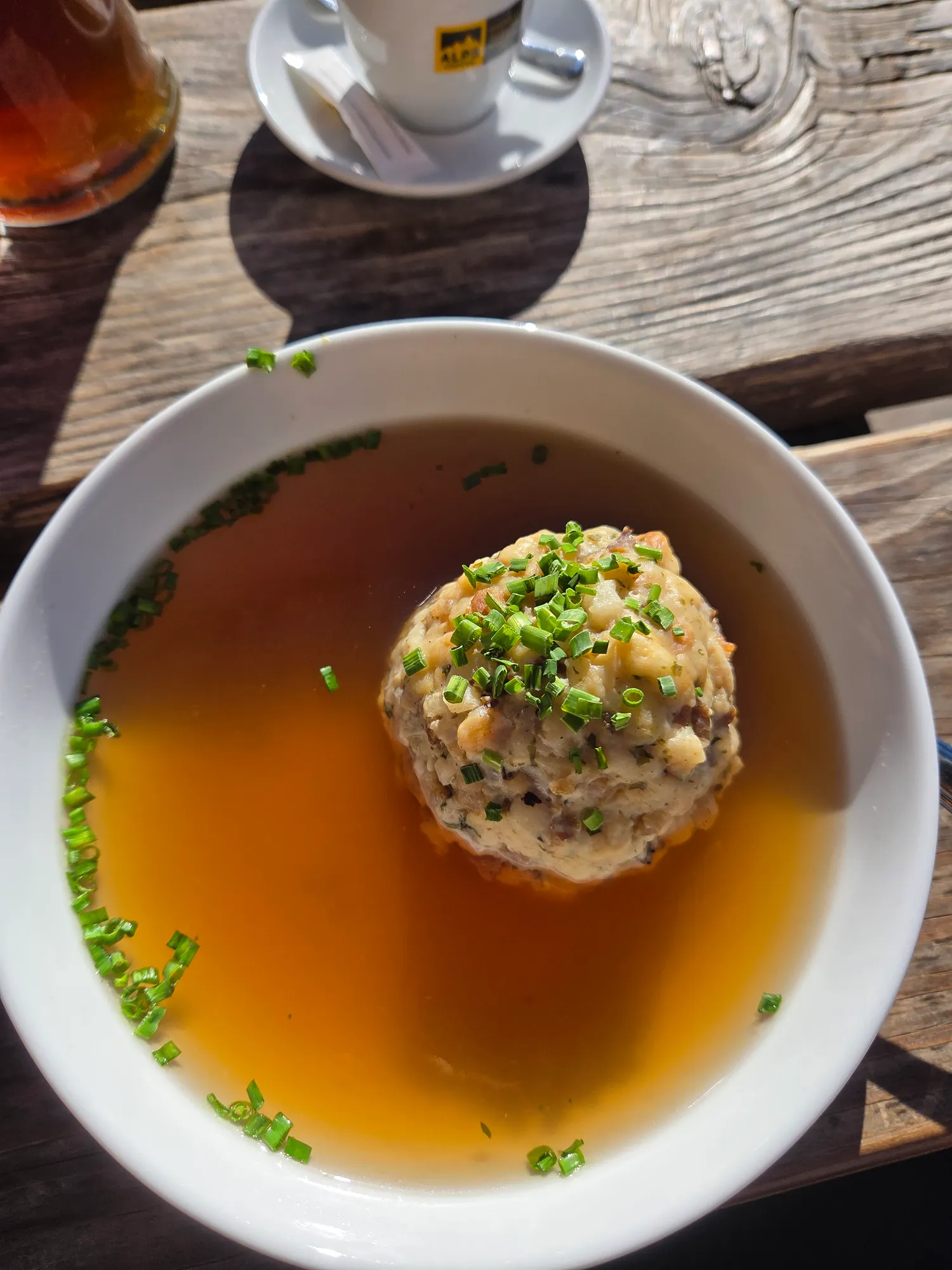
Dumpling soup at the Ehrwalder Alm
From the Alm I try to carry on to the Seebensee. I don't get far: the way there is already covered in snow. The Seebensee will have to wait – I'll be back.
Back at the Ehrwalder Alm there's something almost as good: dumpling soup in the sun, the peaks opposite – and all that in November.
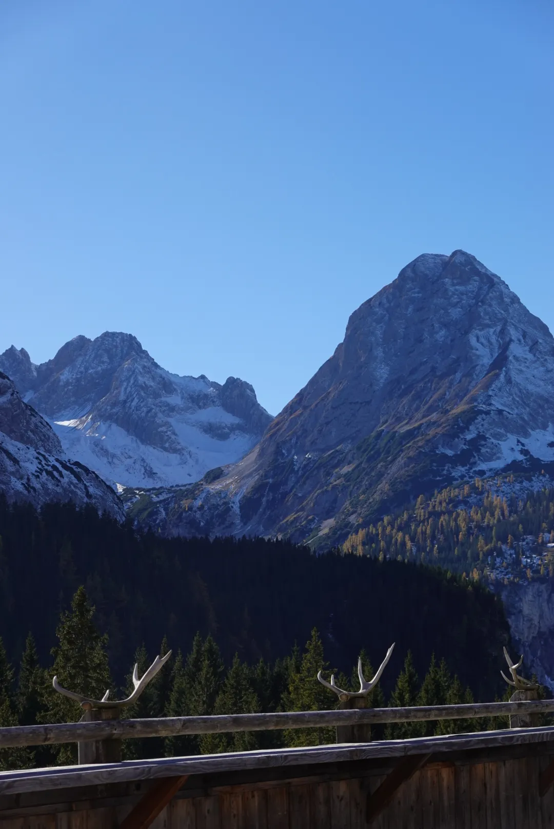
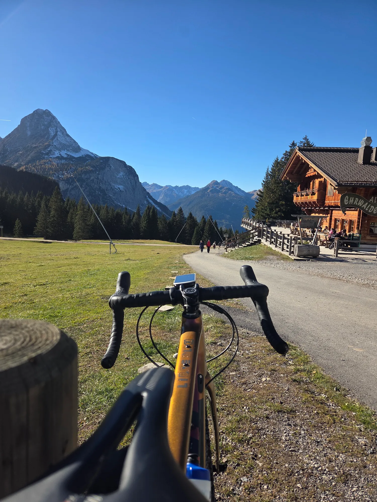
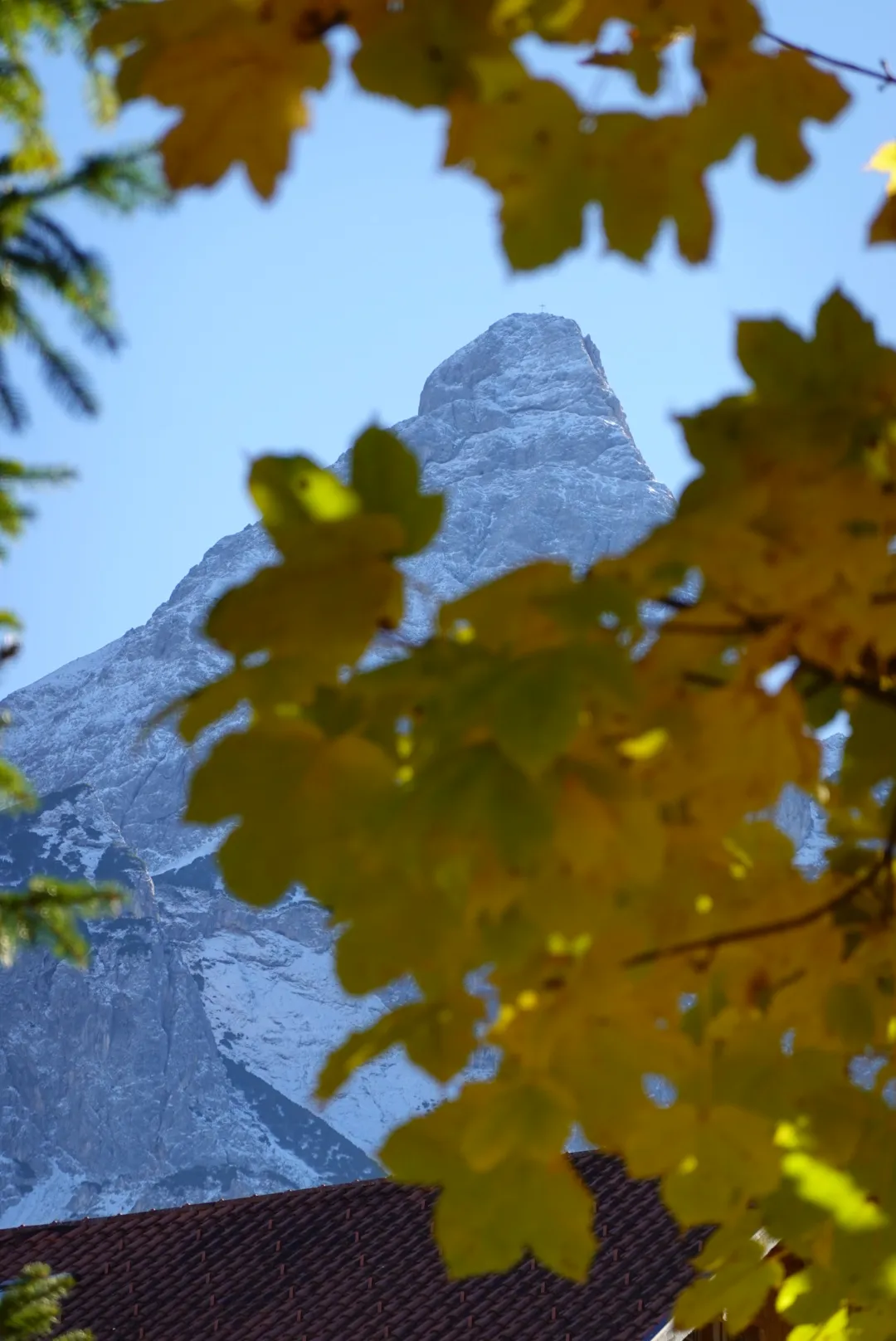
On the descent the autumn leaves glow yellow against the rock, and below lies Ehrwald under the Zugspitze, as if someone had put up a postcard.
km 63–77 · On the way
Through the Neidernach valley
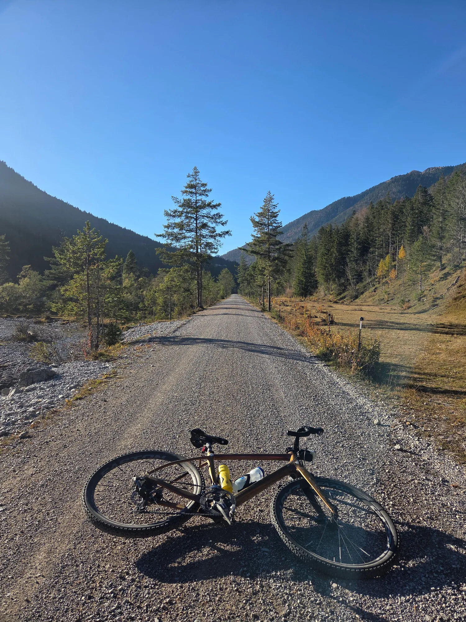
For the way back I take the other side of the Daniel: via Griesen into the Neidernach valley, on wide gravel roads through the forest. Yellow maple leaves, snowy rock faces above – it doesn't get more autumnal than that.
km 103 · Finish
Along the Plansee back to Füssen
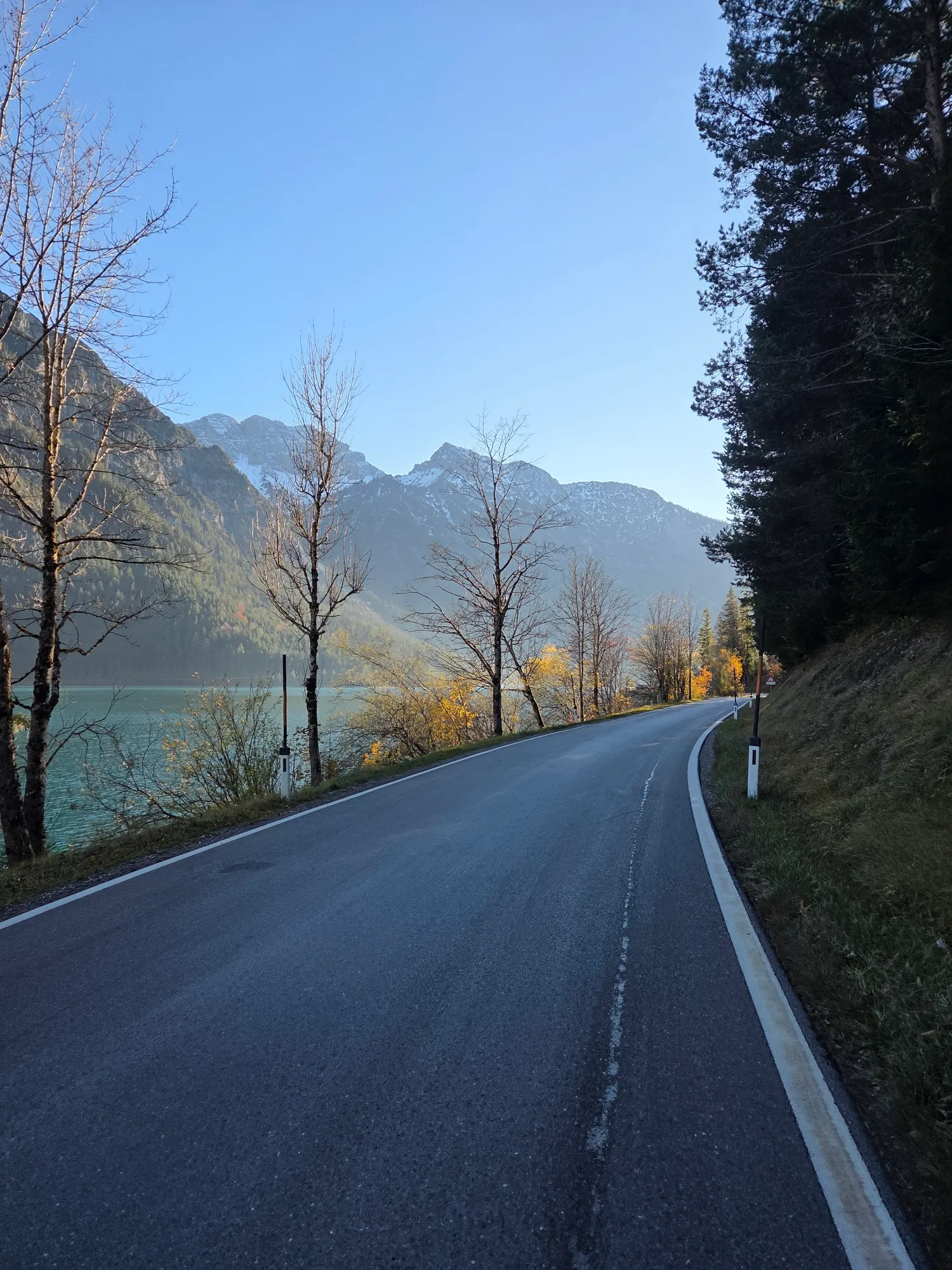
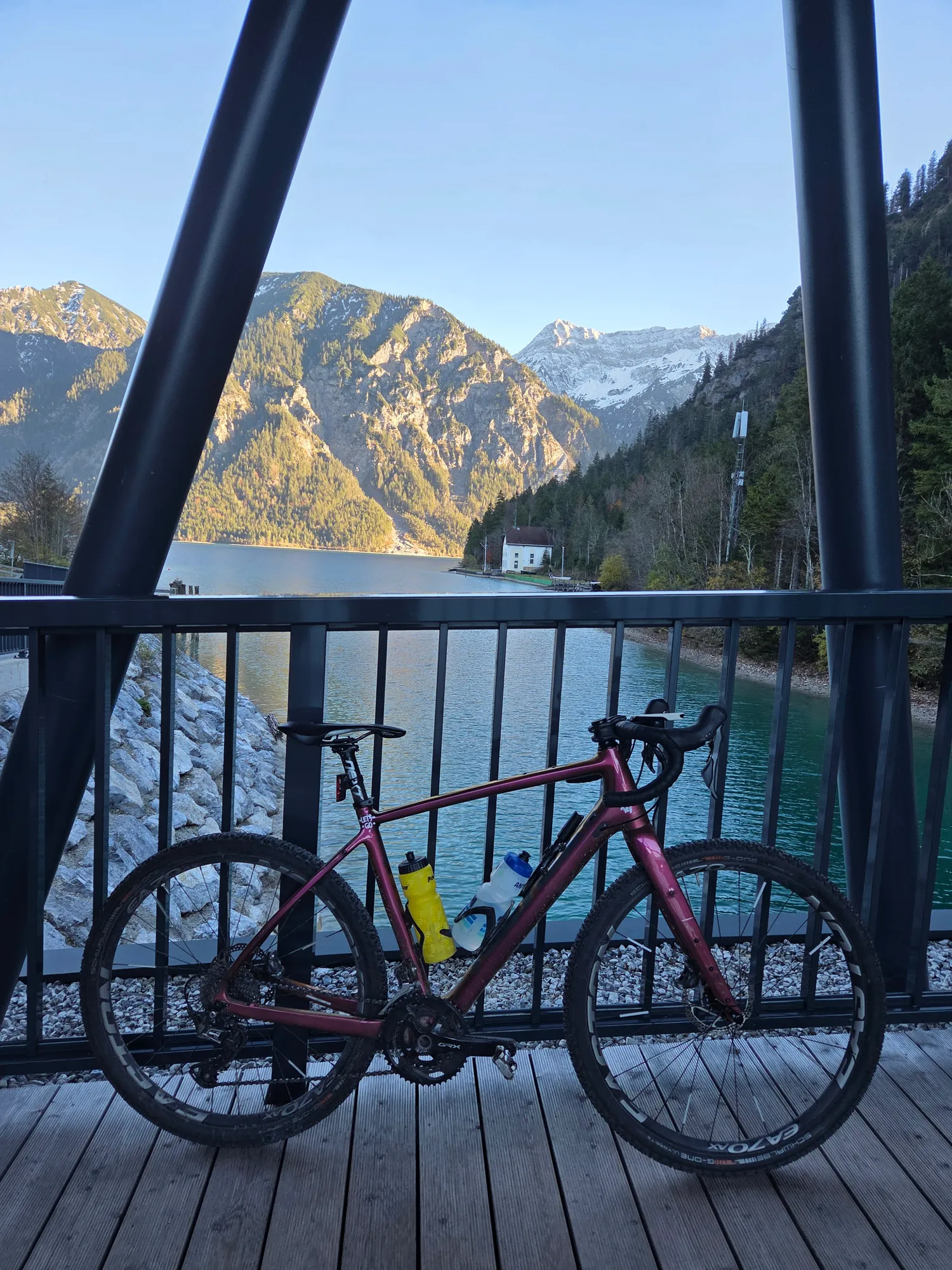
In the afternoon I'm back at the Plansee, this time on the road. The sun is already low and casts a warm light over the water. One last stop on a platform above the lake, then I roll down to Reutte and back to Füssen, where the regional train takes me and the bike home again.
Good to know
- Getting there: I took the regional train to Füssen and back. Flixbus can be worth a look too – but check beforehand whether your connection takes bikes.
- Plansee shore: The gravel path along the Plansee is at its best when it's quiet. Allow time for stops.
- Steep climb: From Ehrwald to the Ehrwalder Alm it's about 450 metres of climbing in just under 4 km.
Gravel in the Außerfern
The Lechtal, Naturparkregion Reutte, Tannheimer Tal and Tiroler Zugspitz Arena have collected their gravel routes together on gravel.tirol. At its core my loop is the "Rund um den Daniel" tour, with the approach from Füssen and the detour up to the Ehrwalder Alm. Still on my list are the Seebensee and the descent towards Leutasch.
For your planning
What helped me plan it. Unpaid recommendations unless marked as an ad.
Route
Gravel in the region
- Gravel routes in the Außerferngravel.tirol
Ride it yourself
The whole loop is available as a Komoot tour and as a GPX. Ridden it? Tag me on Instagram: @carlatours_unplugged
External content from Komoot
Showing it connects to Komoot and transfers your IP address. More in the privacy policy