
Bikepacking · Tyrol & South Tyrol · 3 stages
BedGravel Getaway South Tyrol & Zillertal Alps
Three days, three highlights: by gravel bike from Innsbruck over the Brenner Grenzkammstraße, the Pfitscherjoch and the Geiseljoch to Lenggries.
On the road in
Three days, three highlights: the Brenner Grenzkammstraße high above South Tyrol, the Pfitscherjoch over into the Zillertal and the Geiseljoch, which takes you through the Tux Alps. The route: Innsbruck – Stein im Pfitschertal – Weidener Hütte – Lenggries.
Day 1: Along the Brenner Grenzkammstraße
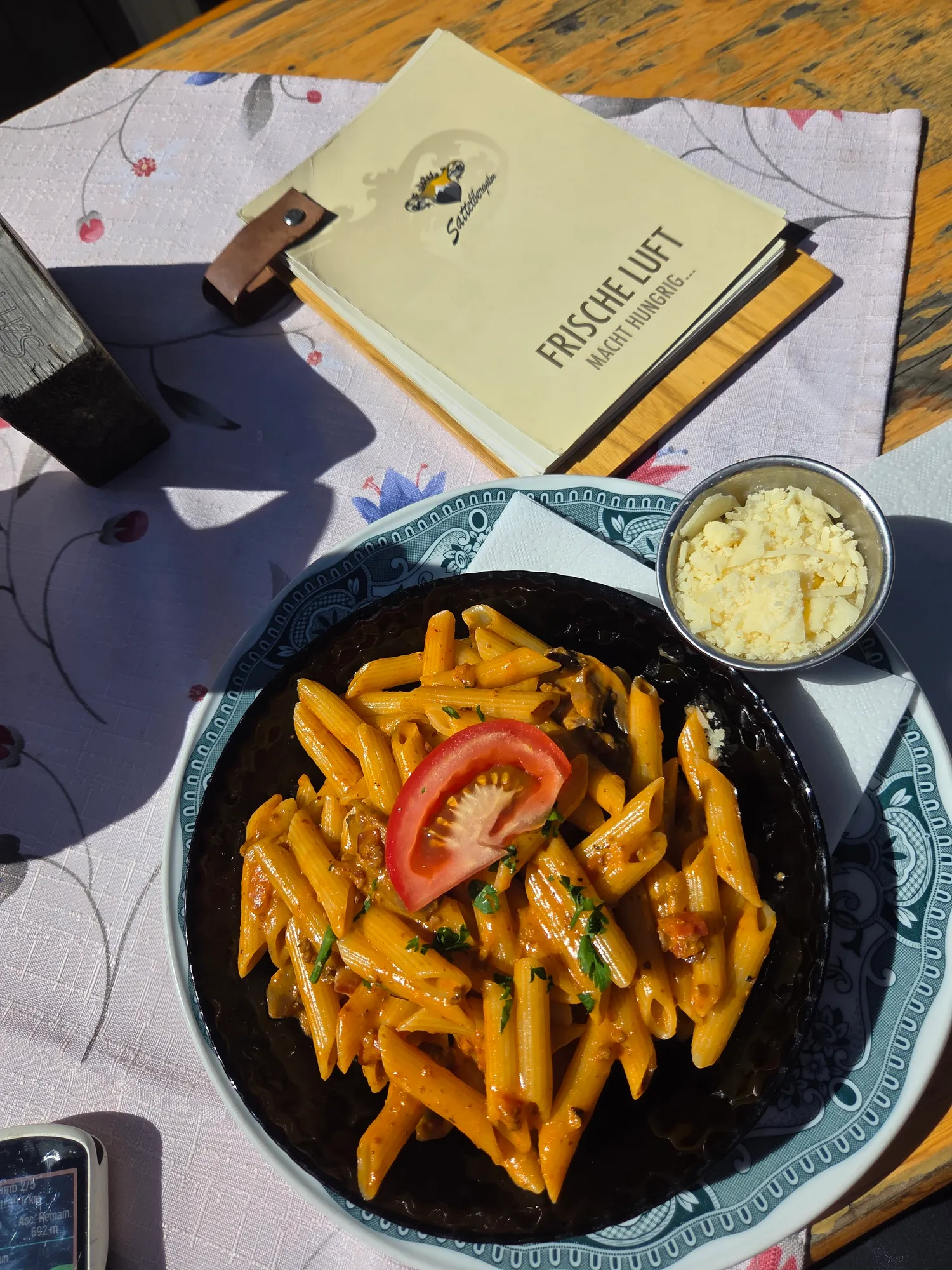
Another sunny weekend, so let's get out there. The first highlight comes on day one: the Brenner Grenzkammstraße. Before it rewards you, though, you have to earn it – the way up is a grind. Which makes the break at the Sattelbergalm all the better. A plate of delicious pasta – exactly what you need before the next climb.
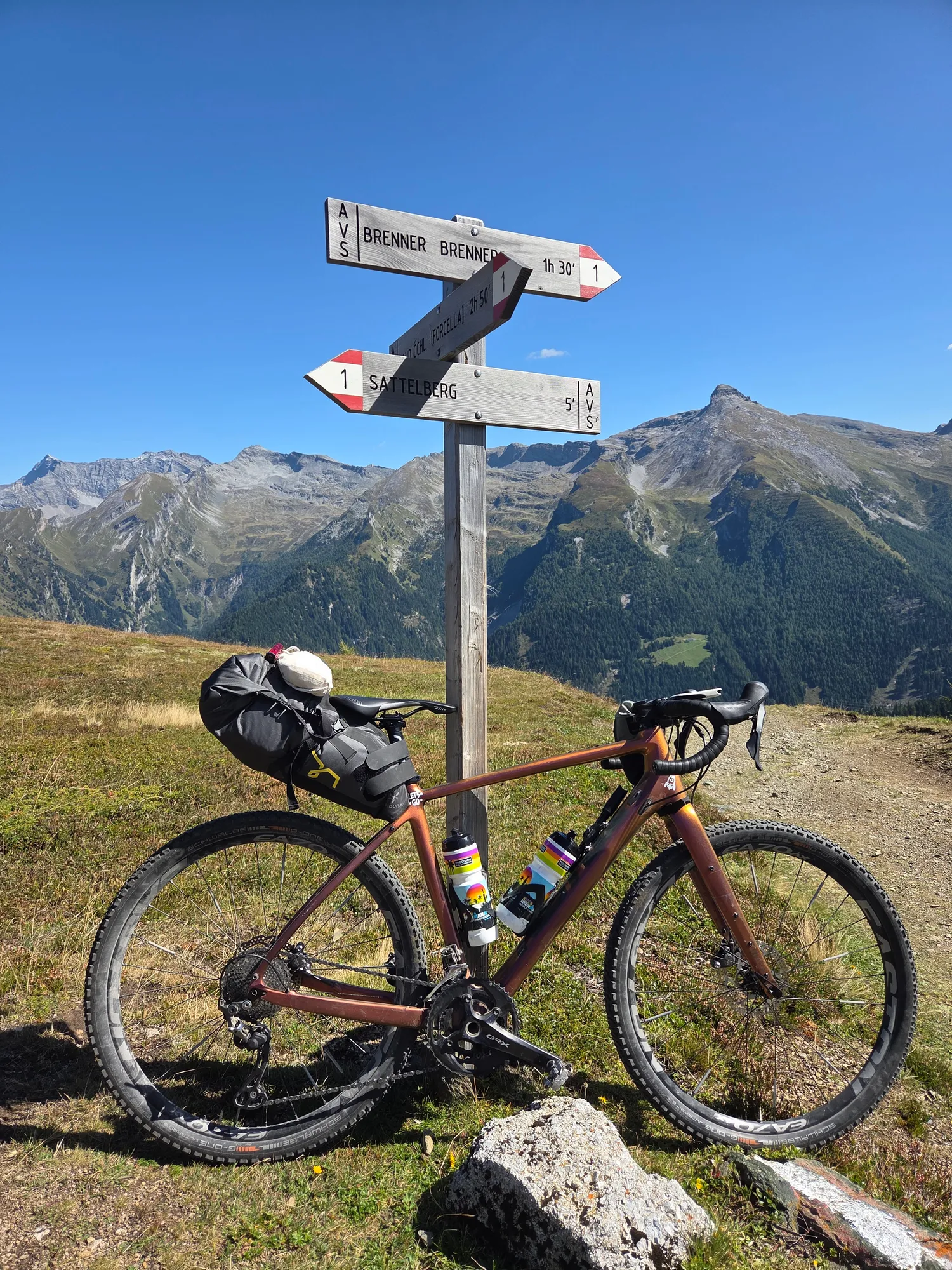
And that climb is a tough one. After the alpine hut it gets properly steep, so steep that even the people on full-suspension mountain bikes don't ride all of it. A small consolation when I get off and push a few times myself.
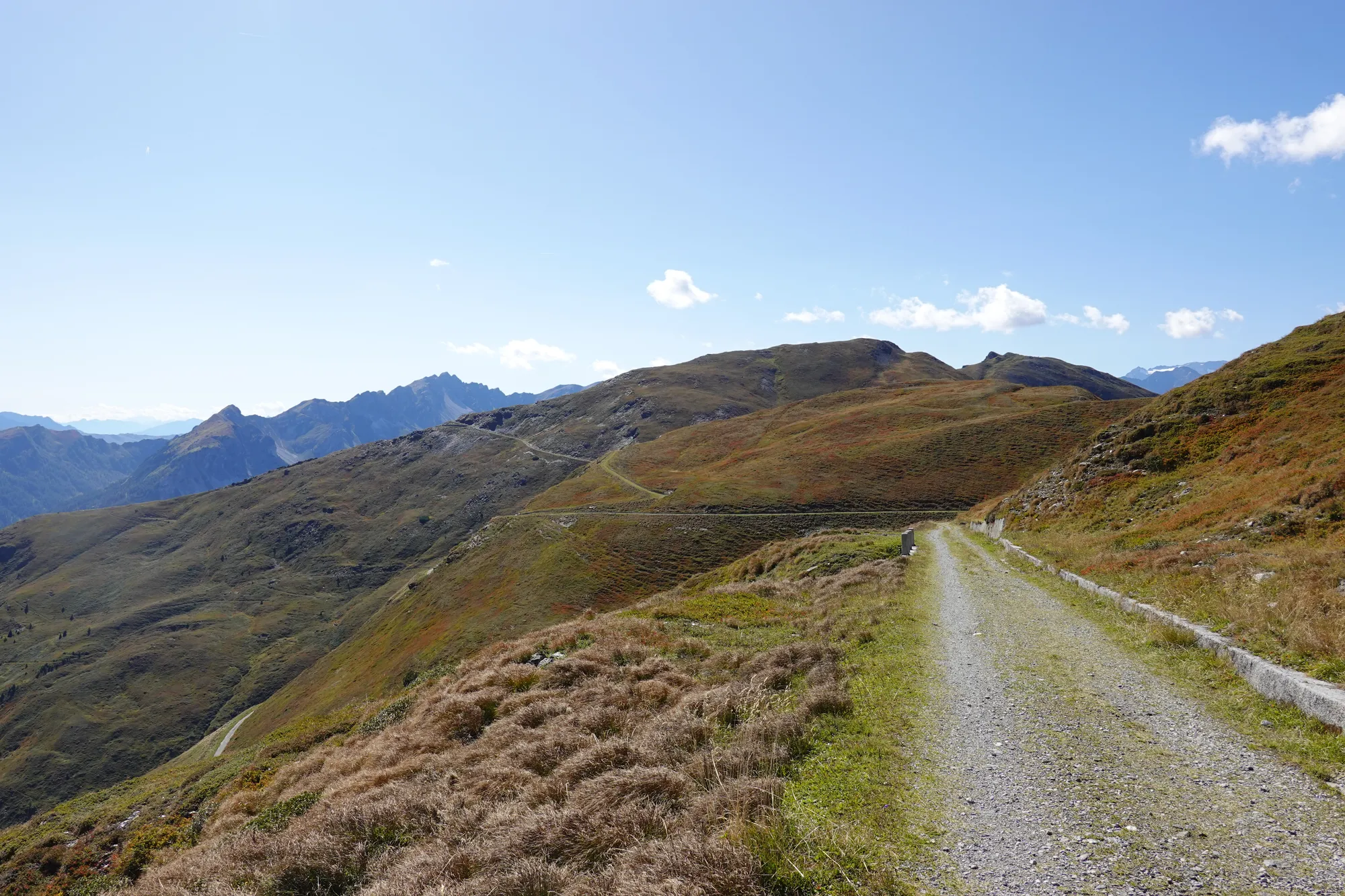
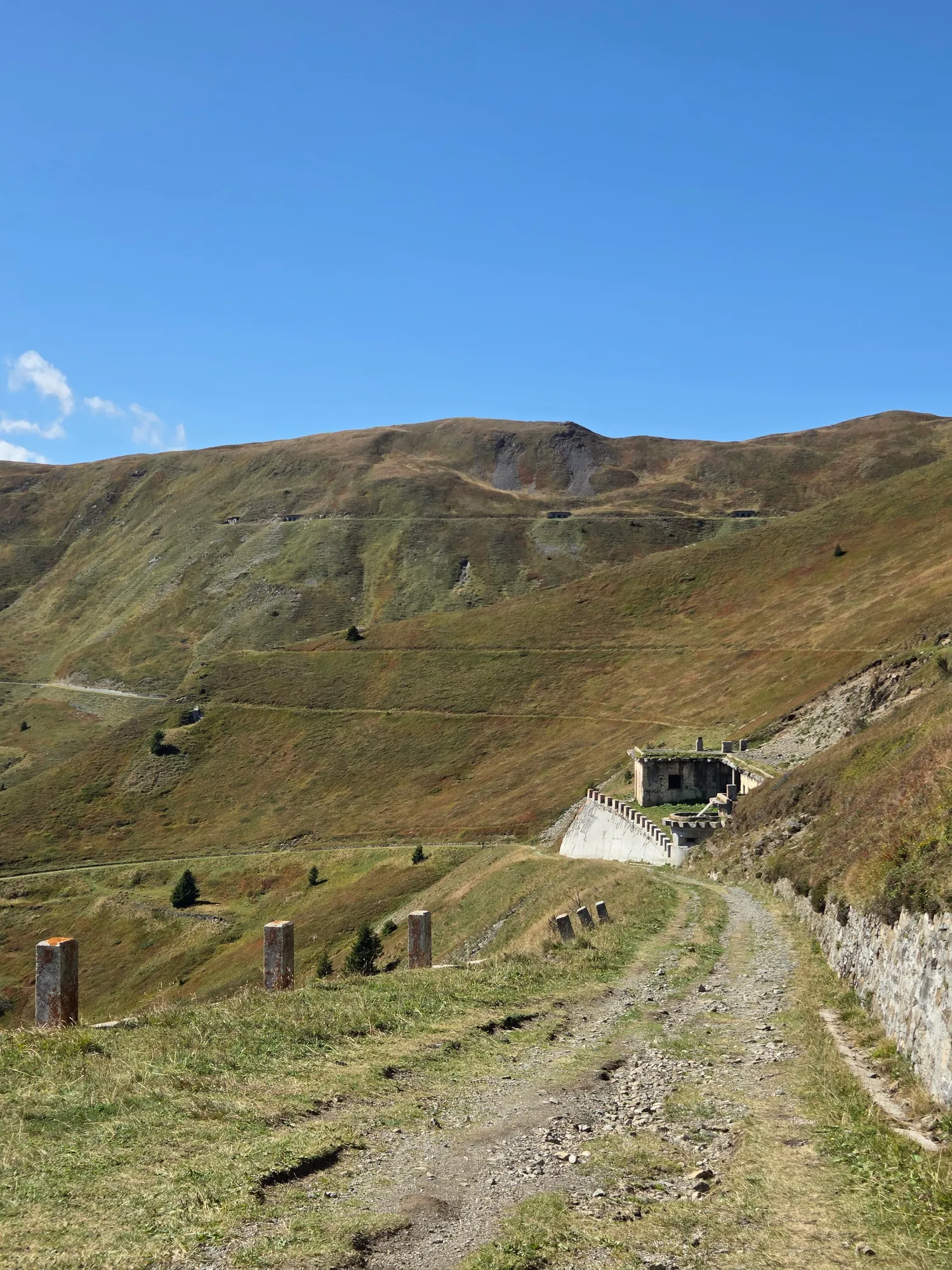
Then you're up. Peaks ahead of you, and below you the gravel road rolling gently along the ridge, following the old border between Austria and Italy, across autumn-brown mountainsides as far as you can see. And hardly a soul around – a true gravel paradise. By now every metre of pushing is forgotten.
The road dates from the 1930s, when it was built as a military road. Stone posts line the way, and now and then old bunkers and abandoned concrete buildings stand at the side. Today you roll along peacefully on a gravel bike and still find yourself wondering what it was all once meant for. If it grabs you the same way: South Tyrol's history is worth a deeper look.
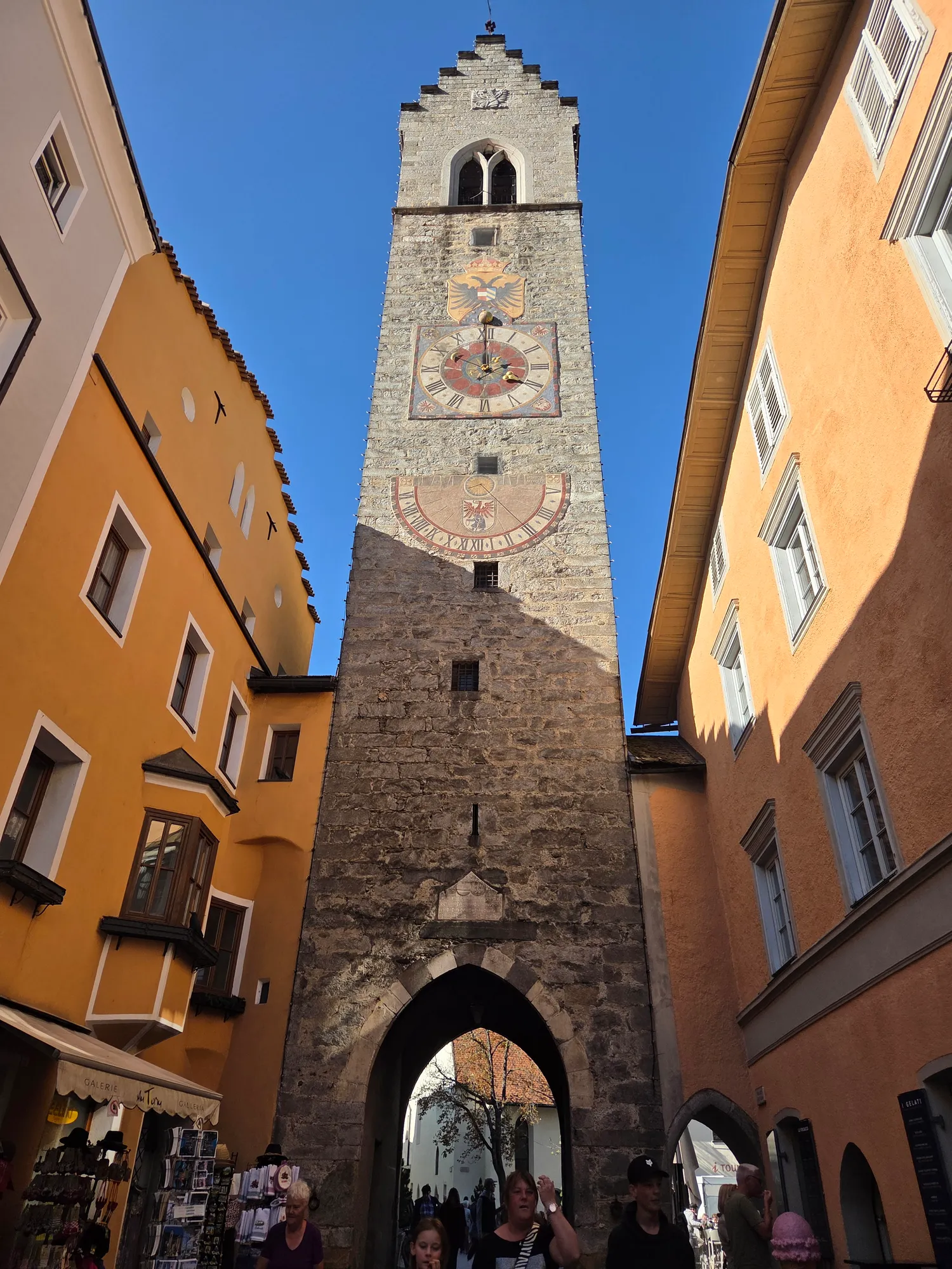
Eventually the ridge ends in a fast gravel descent down to Sterzing. A look at the Zwölferturm tower in the old town, then on into the Pfitsch valley, right to its very end. And it drags: the last stretch to my accommodation is a proper grind, and I admit I swear more than once. Not that the road is to blame: it's perfectly fine, rideable tarmac. I'm just completely done after this day.
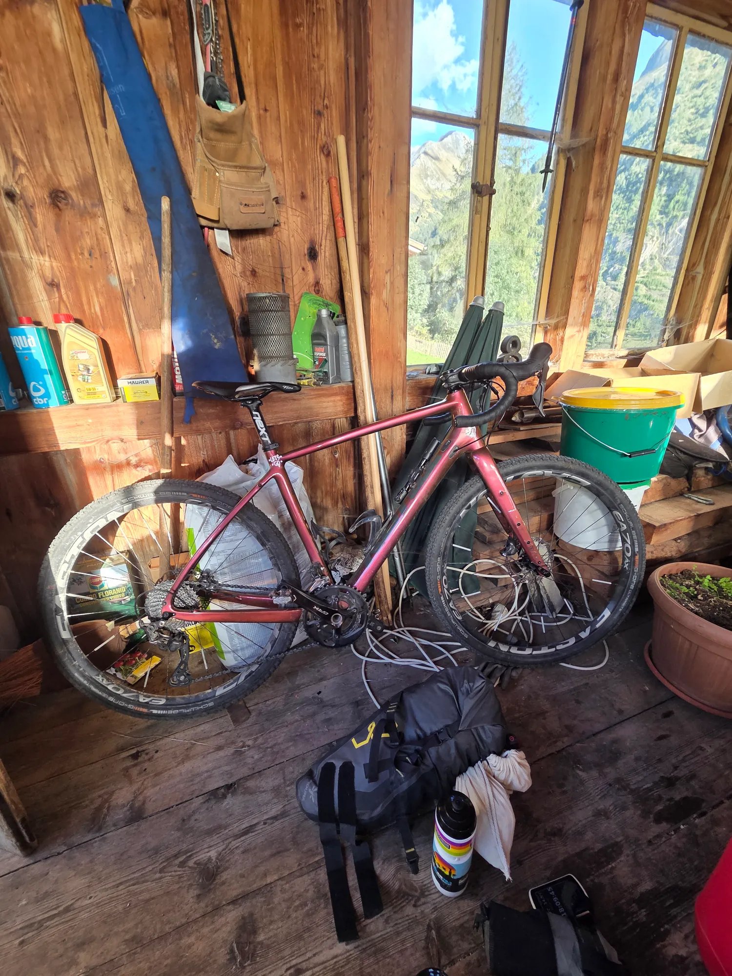
My bed for the night is at Gasthof Stein: a simple place with lovely hosts, and my bike gets to sleep in the wooden garage. After 102 kilometres and more than 2,600 metres of climbing, you don't need anything else.
Day 2: Pfitscherjoch, Schlegeis and Geiseljoch
Day two starts without a warm-up: bags on the bike, bottles filled, and straight uphill to the Pfitscherjoch at 2,246 metres, the second highlight of the trip. From one gravel paradise to the next.
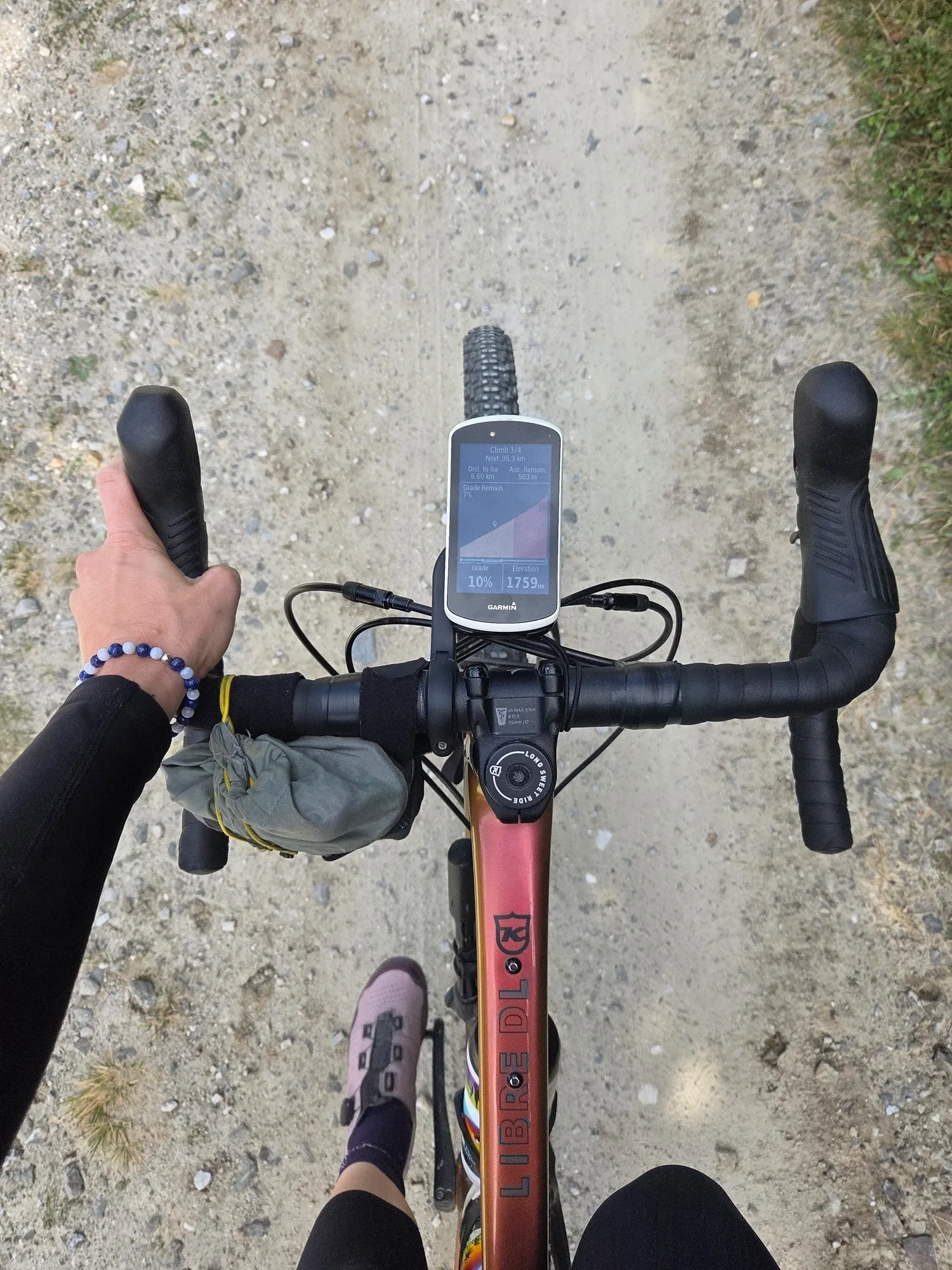
And what a climb! The road winds up between rocks and steep peaks, and from this side it's fully rideable. The only downside: there are surprisingly many cars on the first few kilometres. If you can, get up early or go on a weekday.
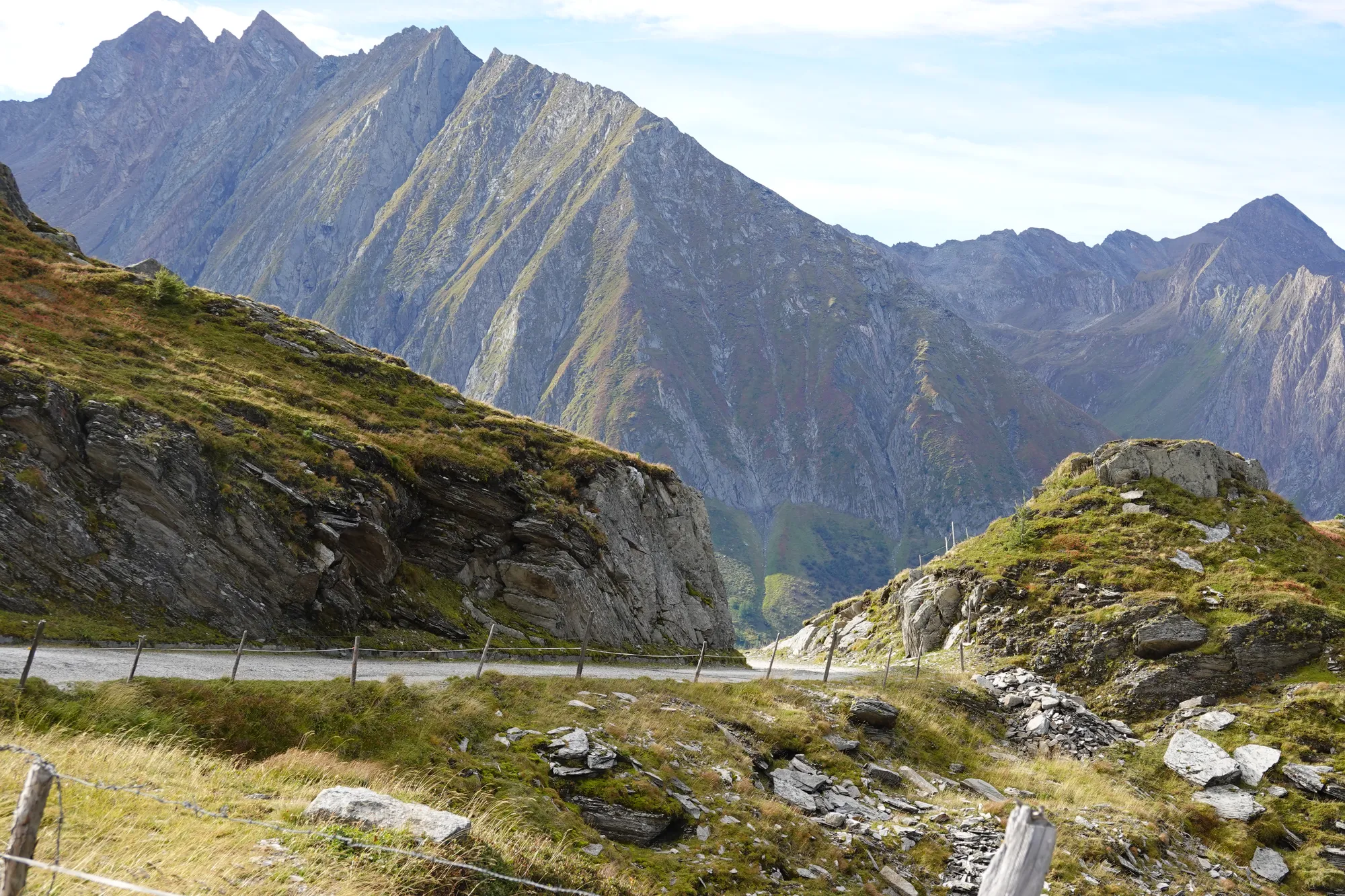
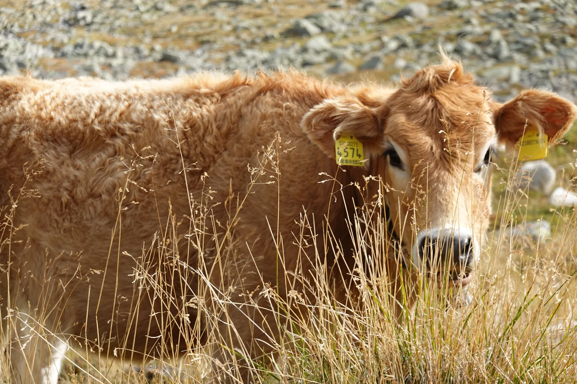
Up at the Pfitscherjochhaus the hikers are out, and a little further on a curious calf eyes me from the tall grass.
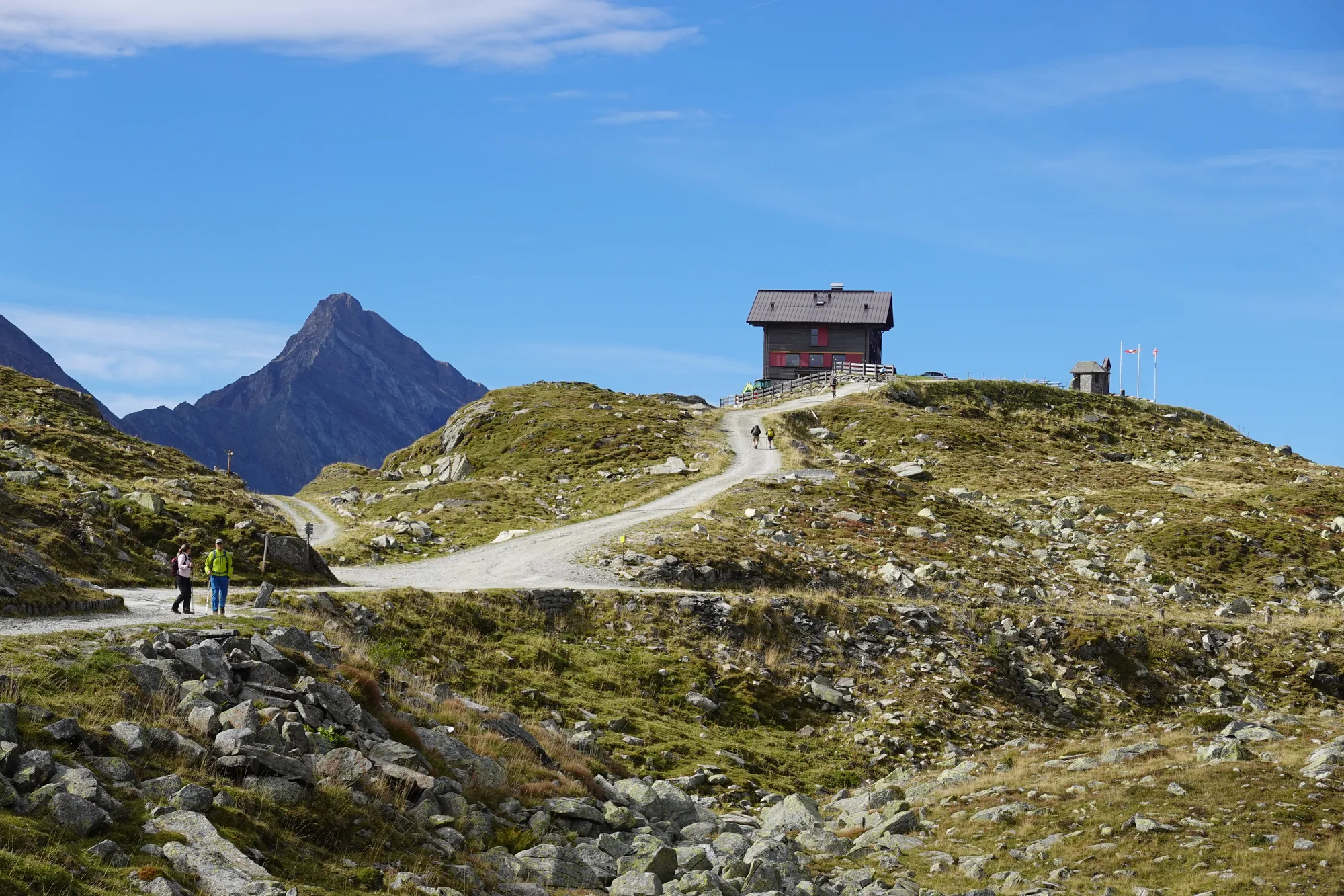
On the other side, towards the Zillertal, the riding stops for a while: time to shoulder the bike and carry it. Even on a mountain bike you couldn't ride all of it. So take your time and enjoy the Zillertal mountains – the view is worth it.
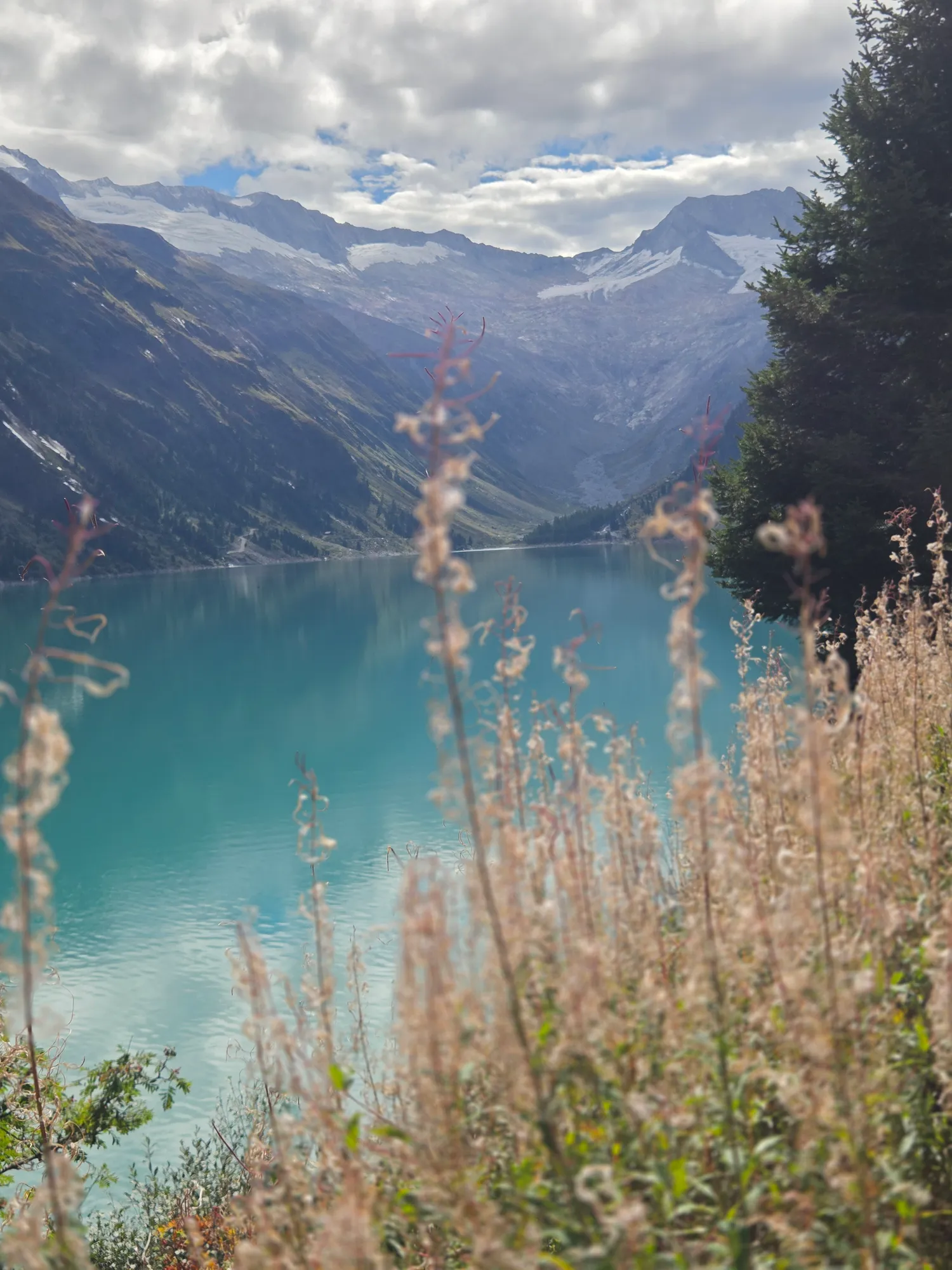
A small, flat detour takes me to the Schlegeis viewpoint, as far as bikes are allowed. Don't skip it! The Schlegeis reservoir glows turquoise, with fireweed blooming in the foreground – one of those moments when you just stop and look.
From there you roll down into the Zillertal. Heads-up: if you want to continue into the Tux valley, make sure you take the turn-off via Dornau. I miss it and only notice when it's too late – learn from my mistake.
The valley turns into a slog. I've eaten far too little, and every metre feels twice as long. Salvation comes in the form of a petrol station: one proper refuel, and I'm back in the game.
Up the Tux valley to Vorderlanersbach, where the last big climb of the day and the third highlight begins: route 424 to the Geiseljoch at 2,292 metres. Tarmac first, then gravel, and then above all quiet. Nobody is up here, literally nobody. Bend after bend you wind your way up through green alpine meadows, just you, your bike and the mountains. It doesn't come for free: some sections are so steep that I'm pushing again. I still enjoy every bit of the climb.
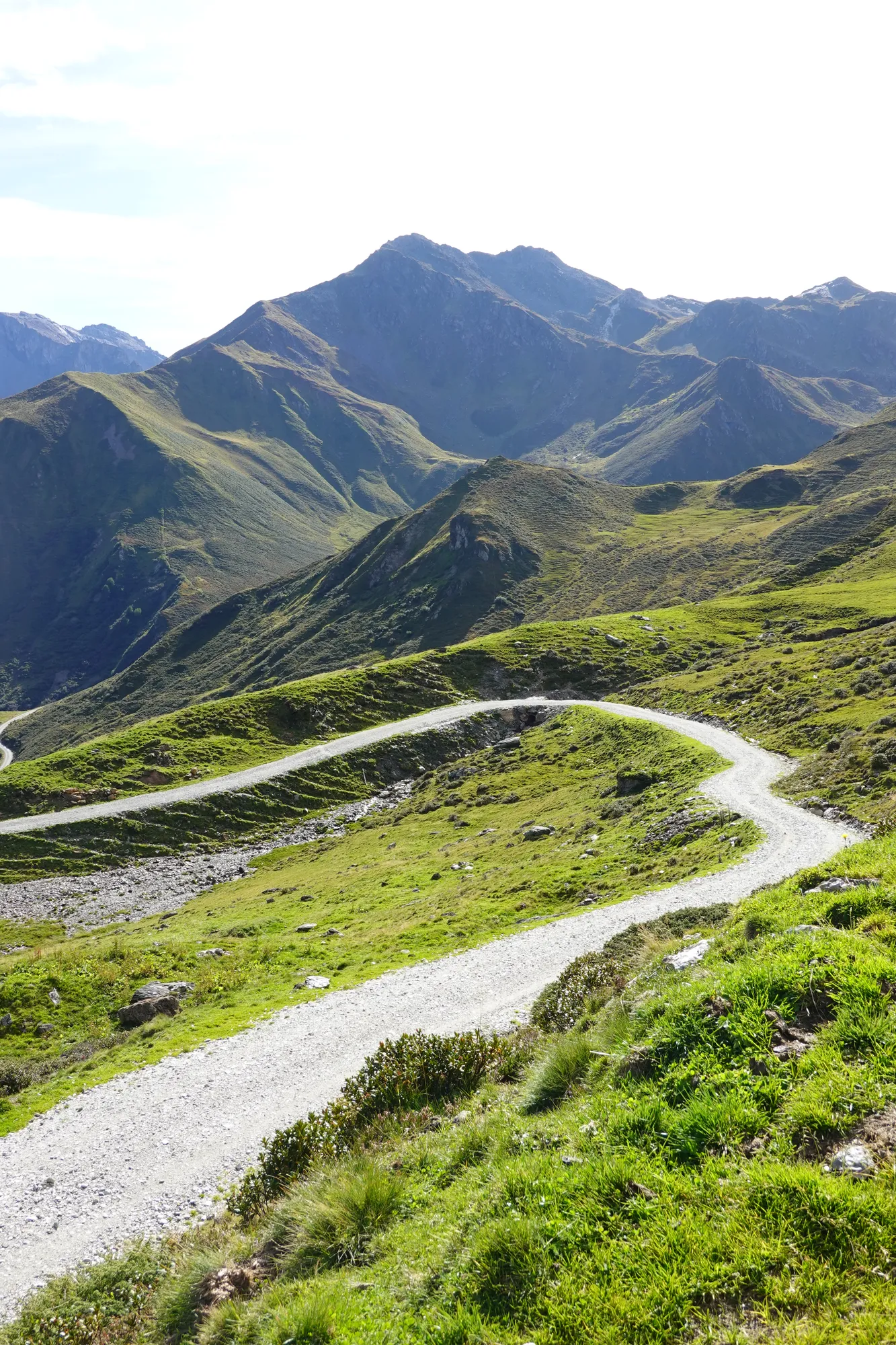
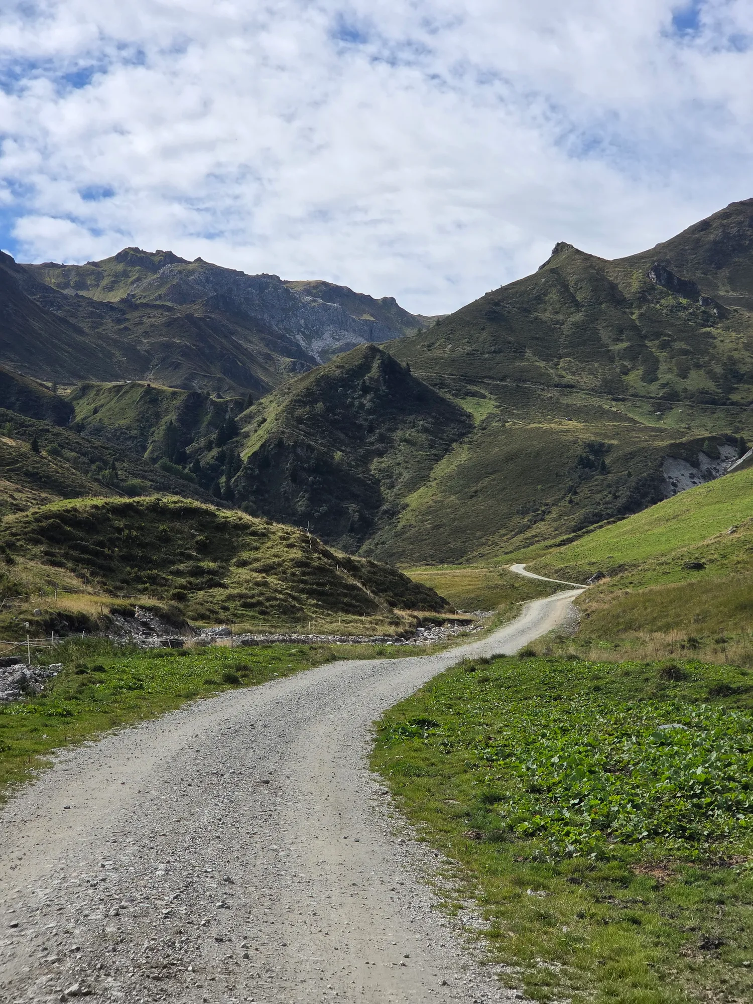
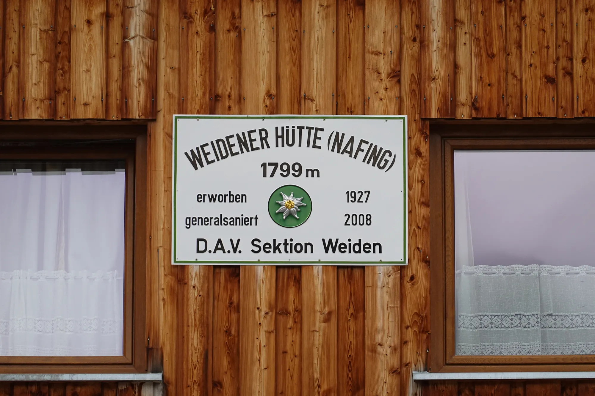
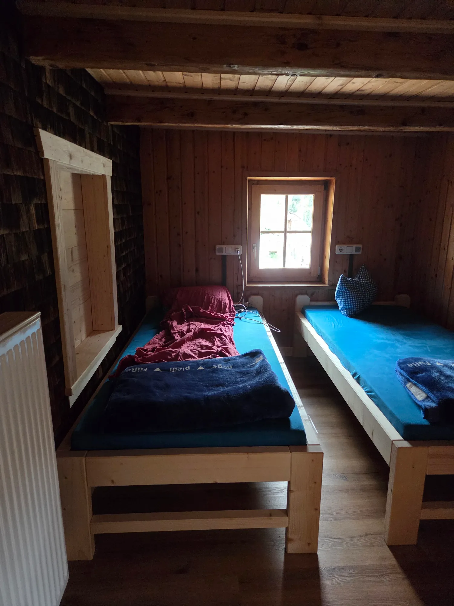
From the pass it's only a few kilometres downhill to the Weidener Hütte, a German Alpine Club (DAV) hut at 1,799 metres. I've booked a bed in a dorm – and I'm in luck: nobody else turns up, so I have the room to myself. After 70 kilometres and 2,240 metres of climbing, that's exactly what I need. Two epic days behind me.
Day 3: To the Achensee in the rain
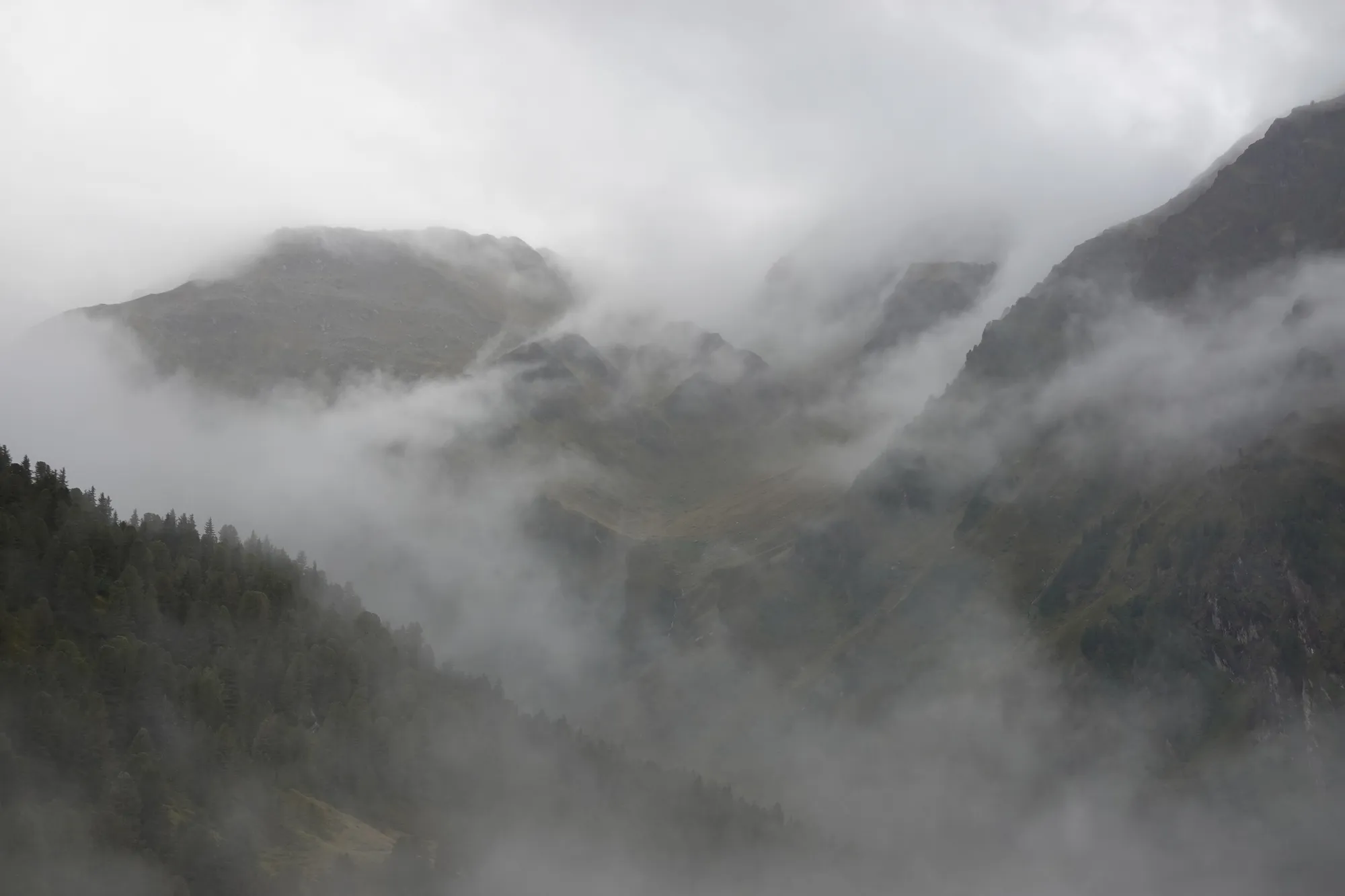
The next morning I wake up to rain, and my legs are very tired. Fog hangs over the mountains, the clouds sit low, and my first thought is: oh dear – why am I always doing these things? But on a multi-day trip there's no way back. You just have to keep going, especially when you wake up in a hut in the middle of the mountains. So: rain jacket on, helmet on, off you go.
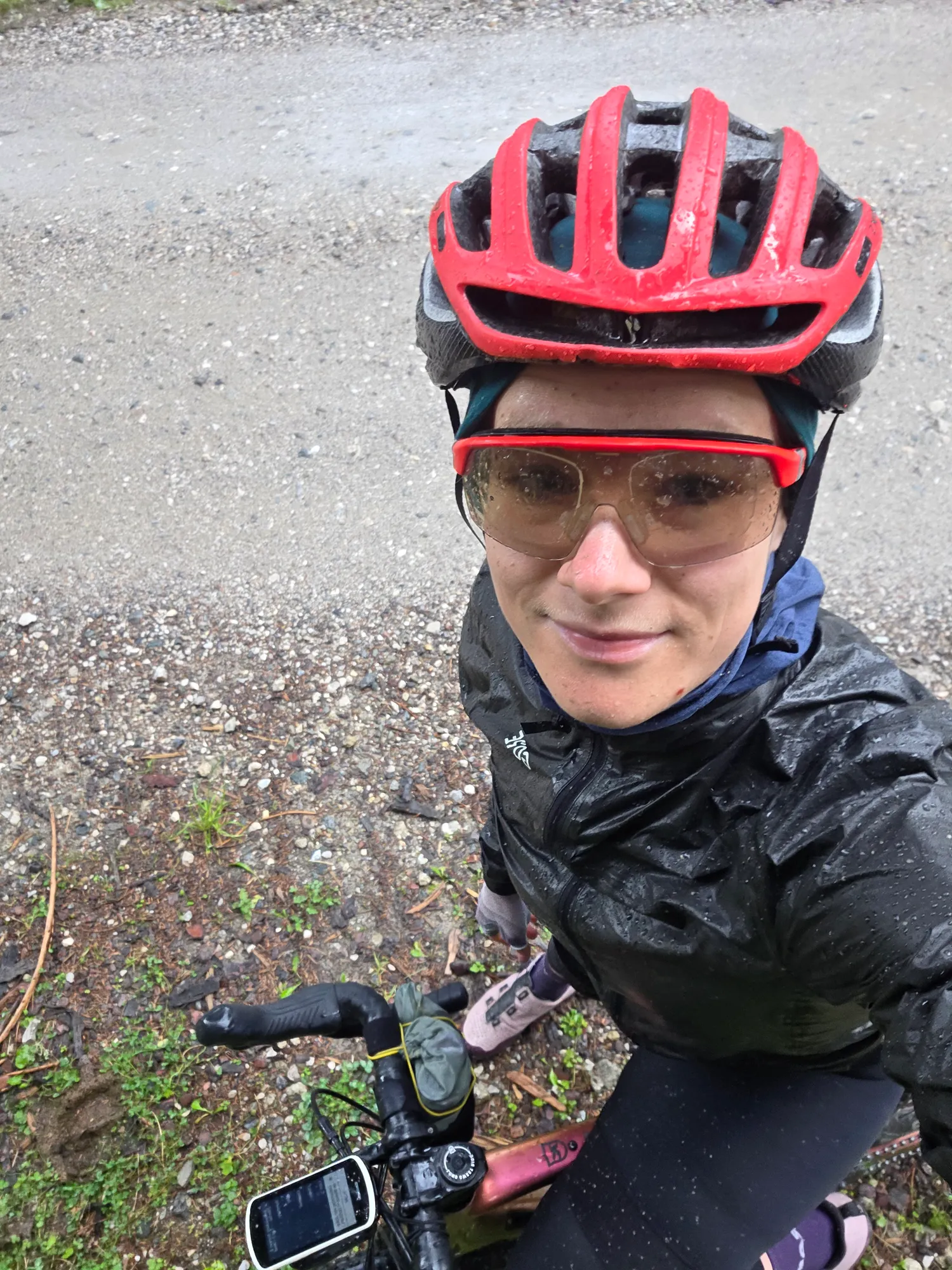
The descent into the Inn valley starts on gravel and turns to tarmac. The ground is soaked, the tyres throw up spray, and still more keeps coming down from above. To top it off I get lost, and by the bottom I'm completely soaked. In Jenbach there's a coffee break before I head along the Achensee, lying grey and still under the clouds today.
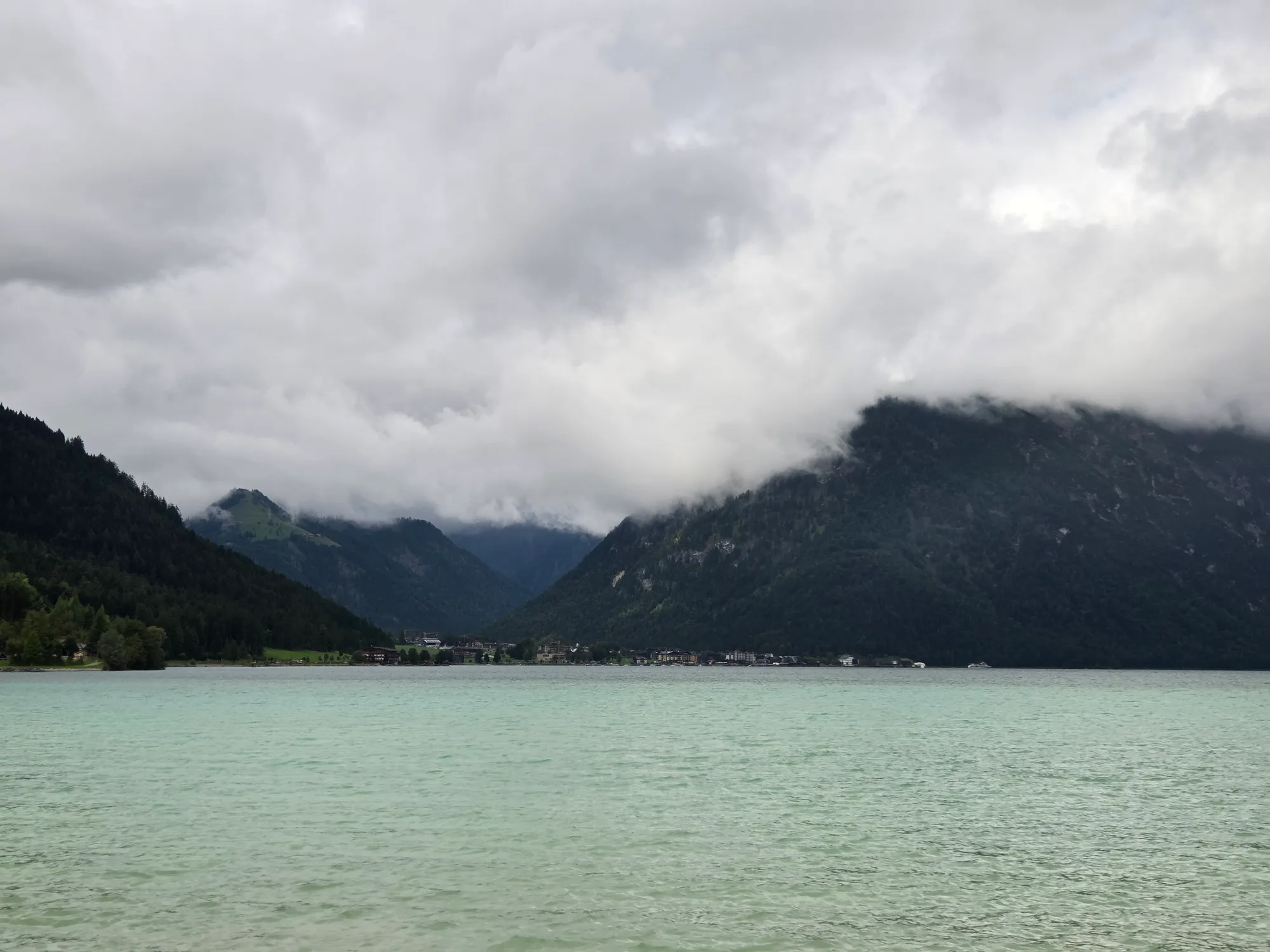
I skip the last gravel detour today and head as straight as possible to the train station in Lenggries. That's where my Gravel Getaway ends. After the ridge, two gravel passes and a wet third day, I'm pretty exhausted – and really happy. The train takes care of the way home.
Good to know
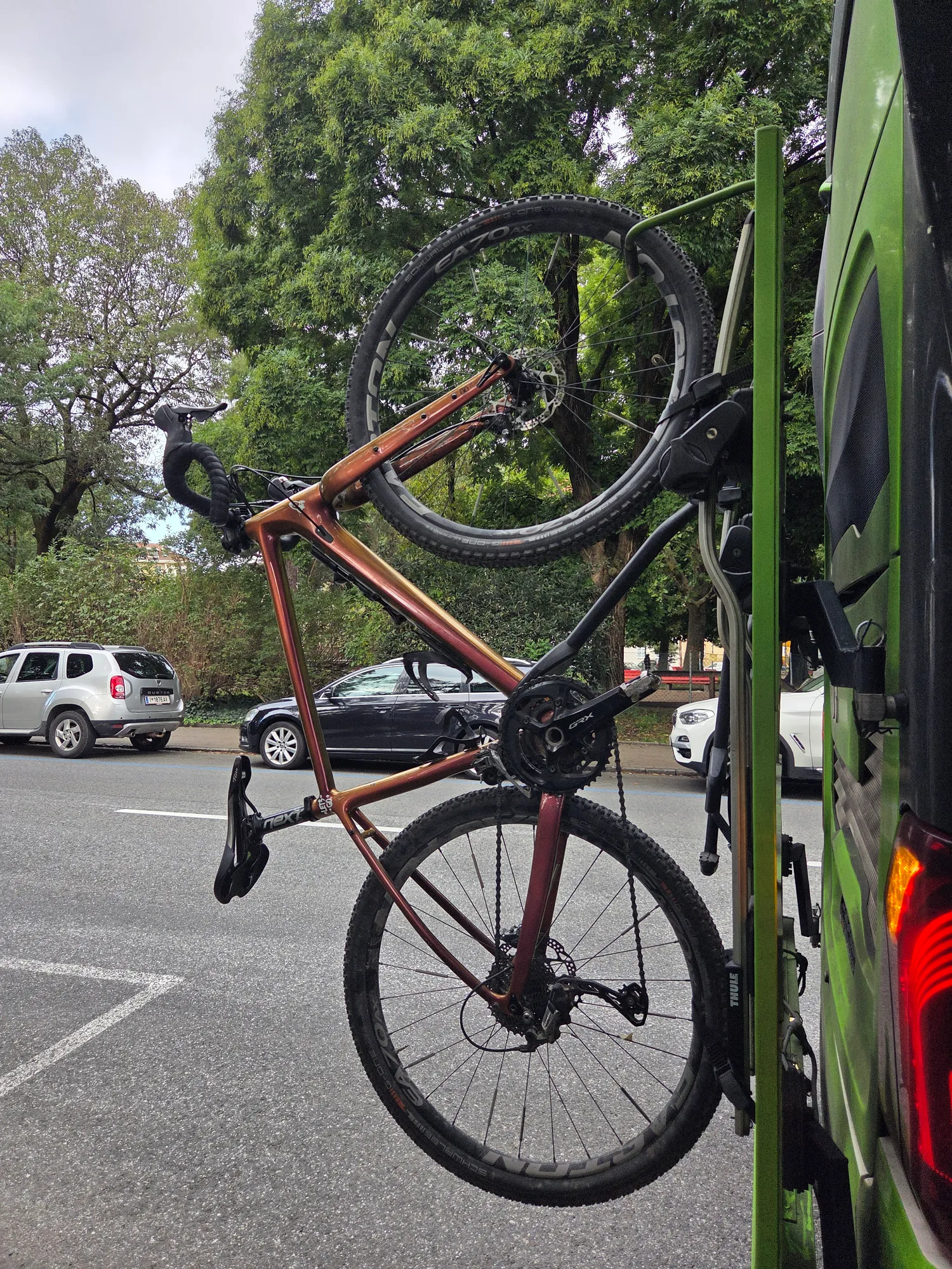
- Getting there: Flixbus to Innsbruck, train back from Lenggries.
- Accommodation: Gasthof Stein in the Pfitschertal and the Weidener Hütte (DAV) in the Tux Alps.
- Grenzkammstraße: after the Sattelbergalm it gets very steep. Expect to push in places.
- Descent into the Zillertal: expect sections where you carry the bike.
- Into the Tux valley: take the turn-off via Dornau – the GPX already follows the corrected line.
Stages & stays
- Stage 1
Innsbruck → Pfitschertal
102 km · 2,620 m
- Tarmac 72 %
- Gravel 27 %
- Unknown 1 %
Gasthof Stein
Guesthouse · Stein im Pfitschertal
Bike in the garage. Simple place, lovely hosts.
- Stage 2
Pfitschertal → Weidener Hütte
70 km · 2,240 m
- Tarmac 46 %
- Gravel 49 %
- Dirt & trail 3 %
- Unknown 2 %
Weidener Hütte (DAV)
Hut · Tux Alps
- Stage 3
Weidener Hütte → Lenggries
86 km · 590 m
- Tarmac 79 %
- Gravel 20 %
- Unknown 1 %
Route on Komoot
External content from Komoot
Showing it connects to Komoot and transfers your IP address. More in the privacy policy