
Bikepacking · Swiss Alps · 7 stages
Road bikeBedCol hunting in Switzerland: solo from Lake Constance to Andermatt
A week alone on a road bike through the Swiss Alps: from Lake Constance over the Flüela, Albula, Bernina, San Bernardino and Gotthard to Andermatt, and from there over the Furka, Grimsel and Nufenen.
On the road in
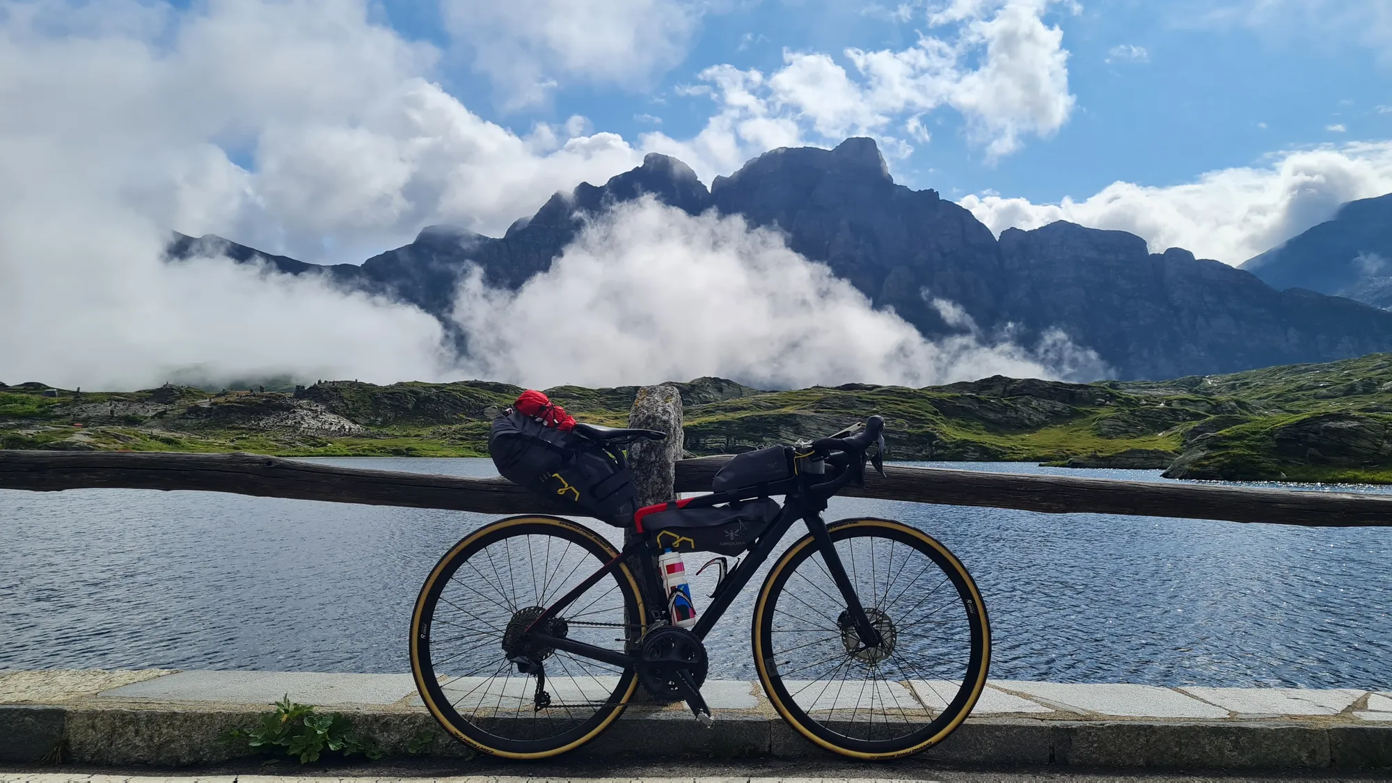
One week, a road bike with bags and a list full of passes: in summer 2023 I rode alone from Lake Constance into the Swiss Alps, basically to go col hunting. I ended up with eleven, from the Flüela via the Bernina and San Bernardino to the Nufenen, the highest road pass lying entirely within Switzerland. Add to that nights in old hospices right at the top of the pass, a rainy day with a change of plan and a few days in Andermatt to finish. The route runs from Lindau through Graubünden and Ticino to Andermatt; the last stage is a day ride from there.
Day 1: Lindau – Feldkirch, the warm-up
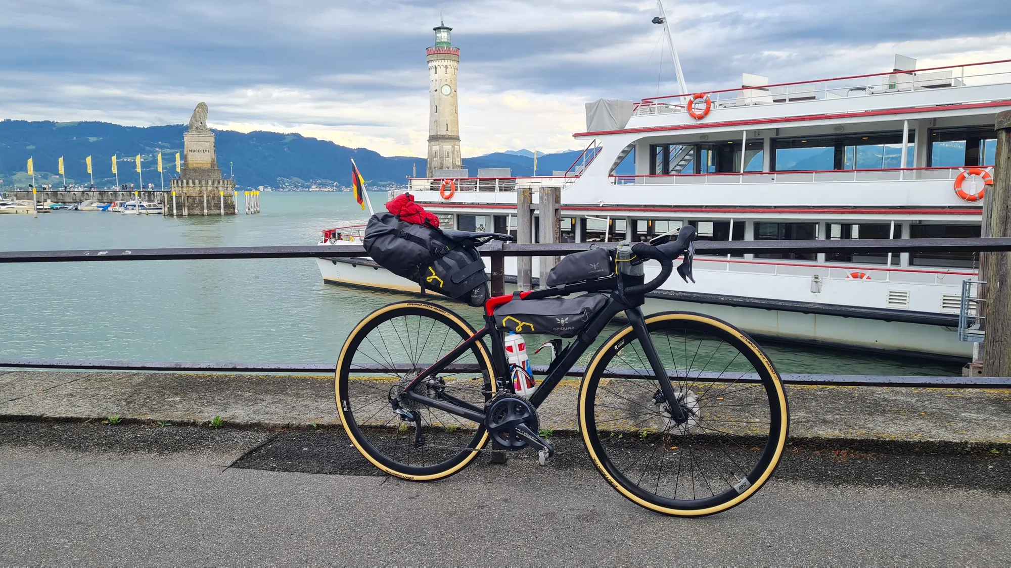
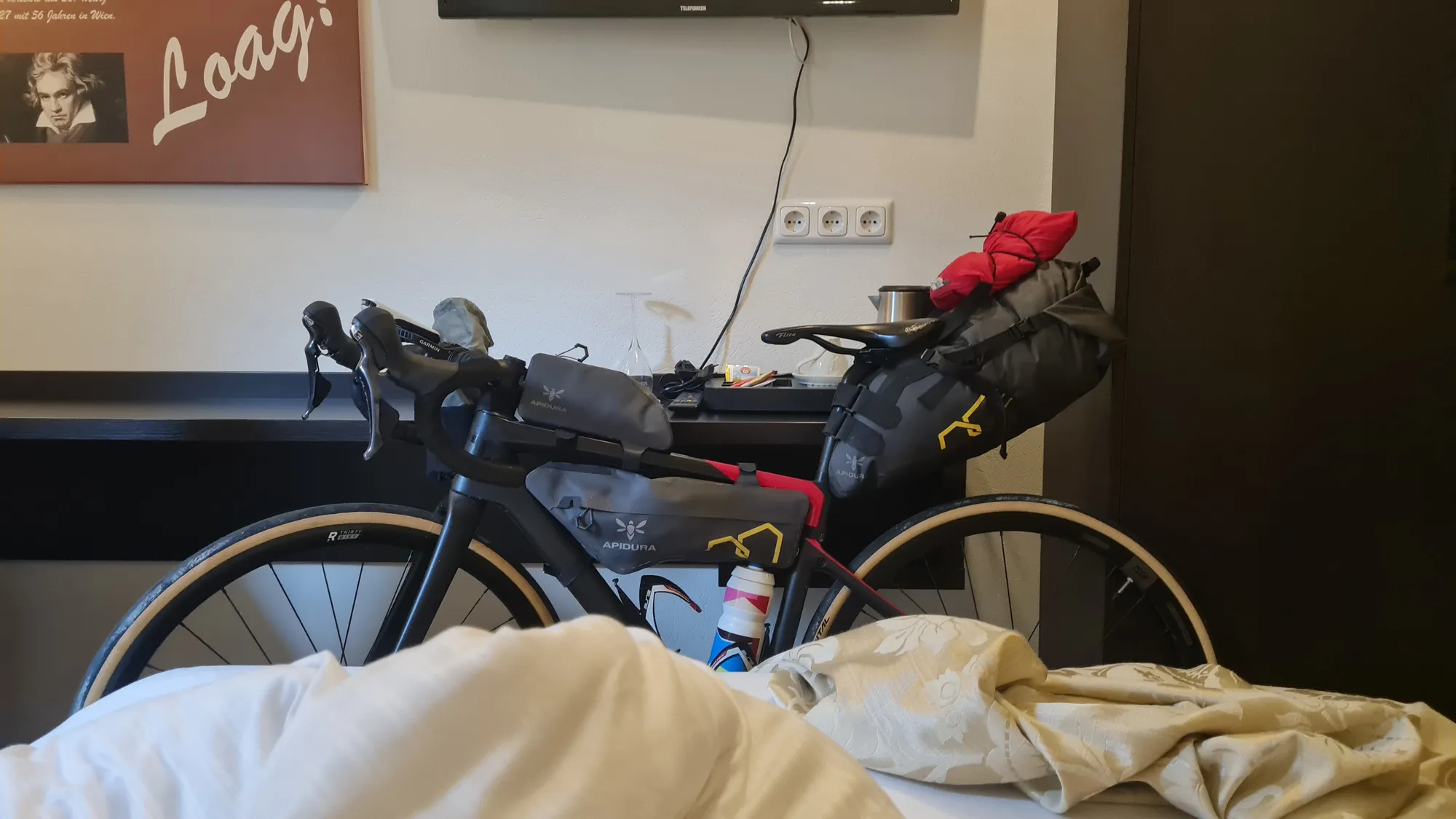
Here we go. At Lindau harbour there's the lighthouse and the excursion boats, my loaded bike in front of them, and off I go. The first section is more of a warm-up: 46 flat kilometres through the Rhine valley to Feldkirch. I reach the s'Matt BOB just before it starts pouring. Good timing, at least. Check-in is self-service, and the bike is allowed up to the room. The next morning there's a great breakfast with fresh juice.
Day 2: Via Klosters and Davos up the Flüelapass
What a day. The morning is wonderfully quiet, the roads are empty, and I roll through the valleys towards Graubünden. I stop for coffee in Klosters, then carry on to Davos and from there up to the Flüelapass (from Davos: 13 km, 810 m of climbing, 6 % on average).
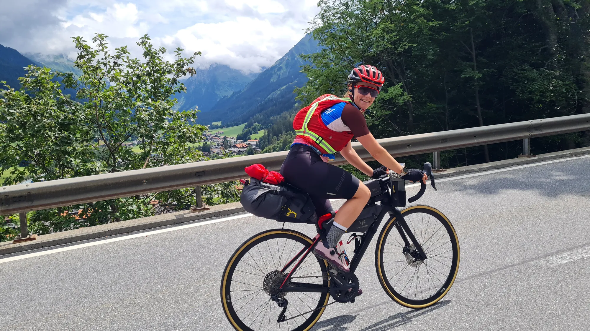
I miss my bikepacking buddy Luisa, who I usually ride with. So it's one cycling podcast after another in my ears all day. The road first winds through green meadows; higher up the slopes turn bare and rocky. The last five kilometres to the pass are a real grind, but that's exactly where it gets most beautiful.
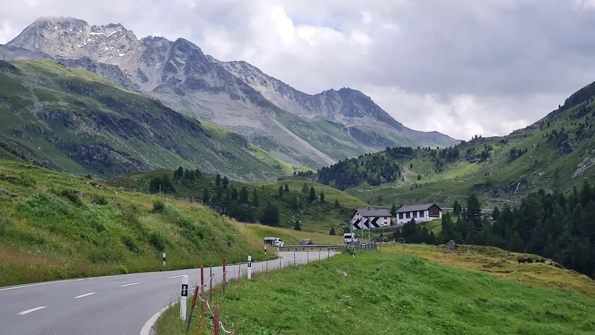
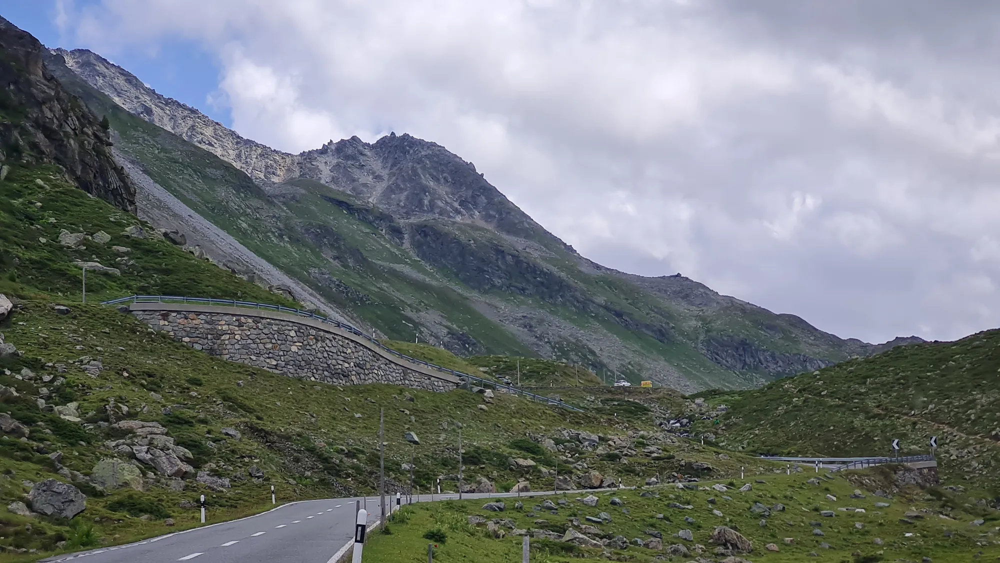
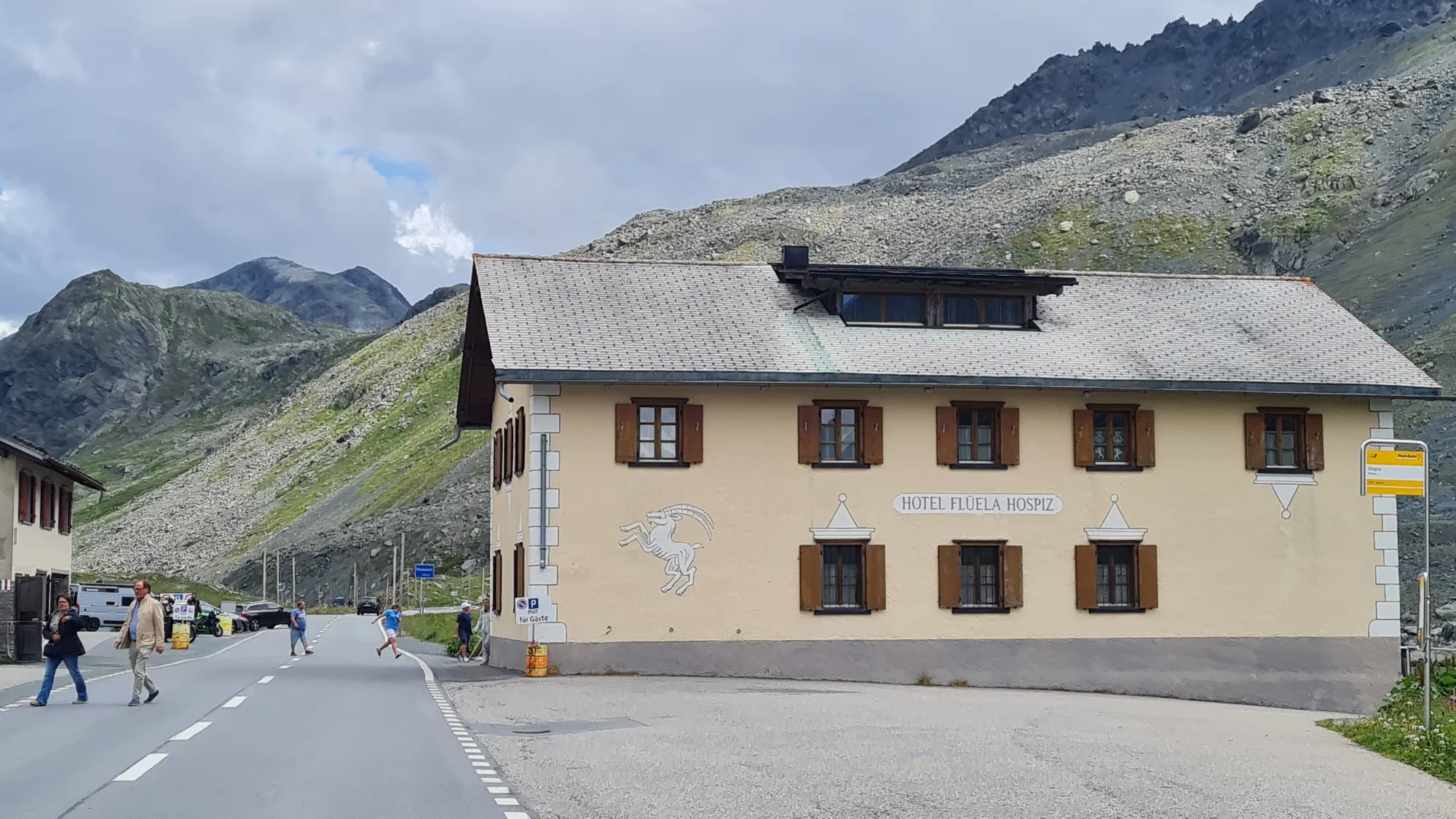
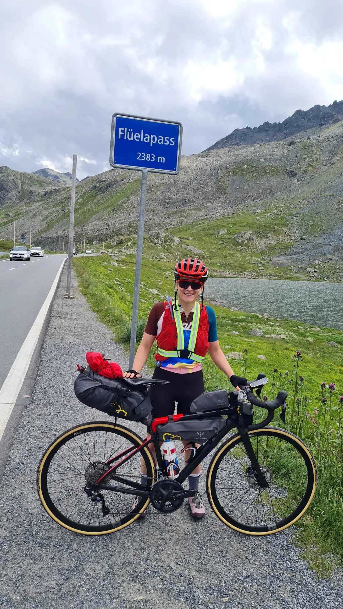
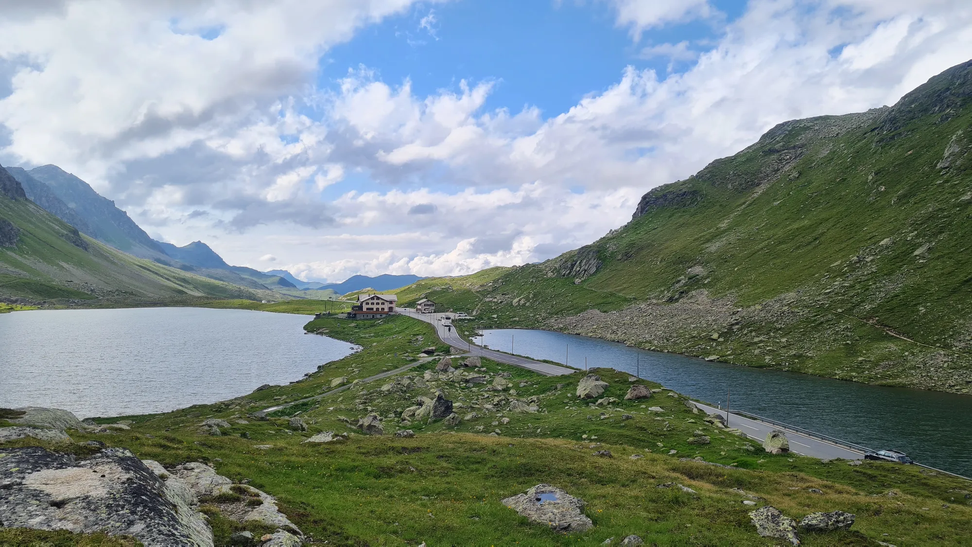
Then I'm at the top, at 2383 metres. The Flüela Hospiz sits right on the pass road, and that's where I stop for the day.
A quick word on "hospice", because this has nothing to do with end-of-life care: a Hospiz is an old inn right at the top of a pass or just below it. In the past they gave muleteers, traders and pilgrims a roof over their heads before or after crossing the pass, and some were even run by monks, like the famous hospice on the Great St Bernard. Today most of them are simple inns with a restaurant and a few rooms. For bike travellers they're perfect: a bed, a hot meal, and by evening you're already at the top.
My room has a washstand that seems to come from another era: a basin and jug on a wooden chest of drawers, with towels, a glass and a bar of soap next to them.
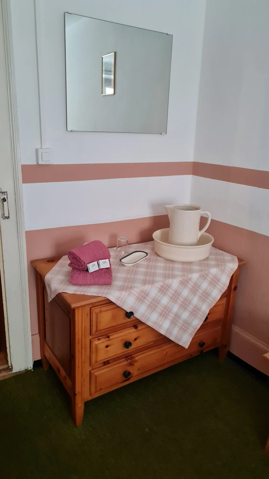
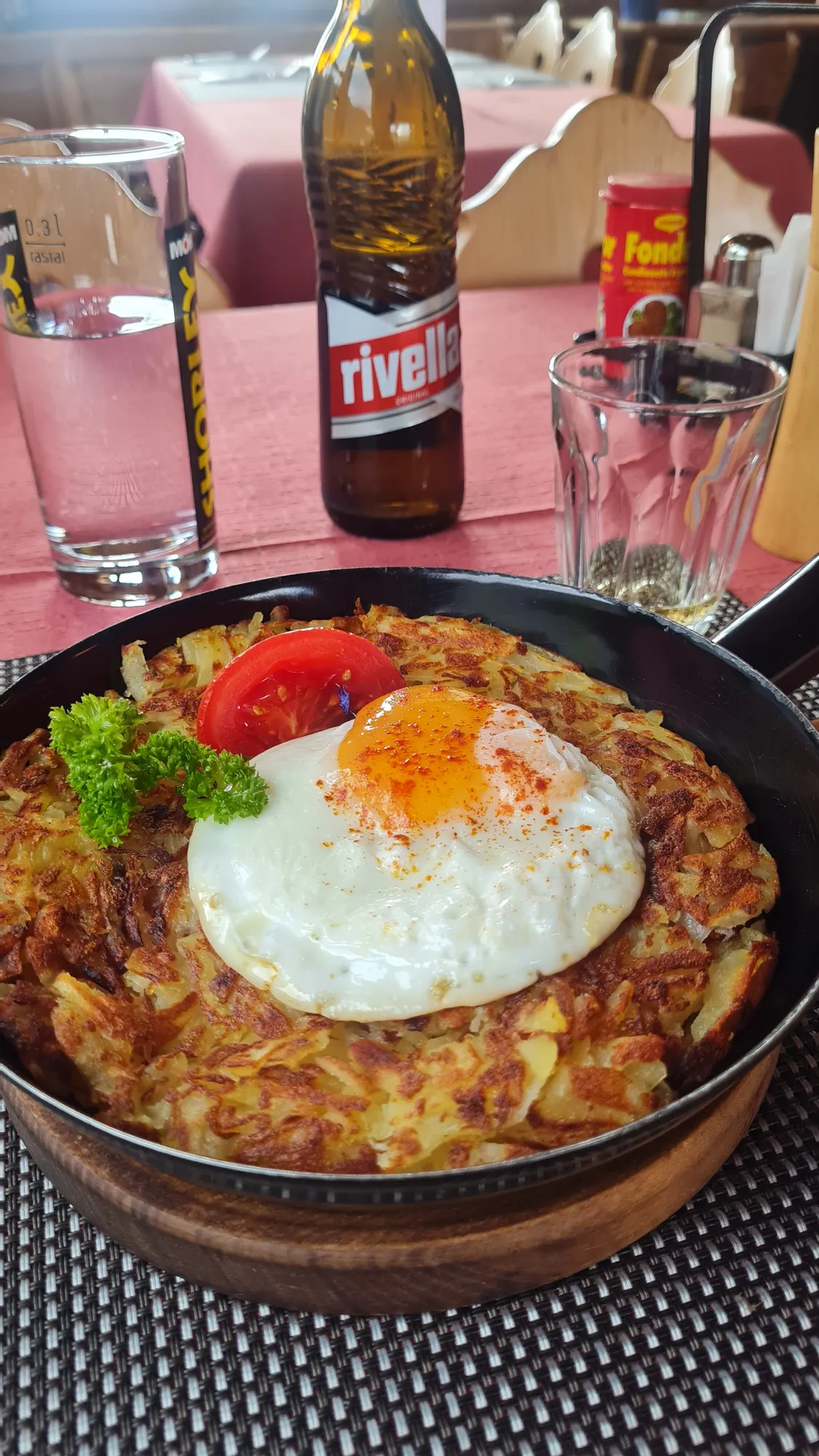
I love staying right at the top of a pass: even though I'm on a road bike, it makes me feel really close to the mountains. And waking up there again in the morning is just beautiful. Dinner is rösti with a fried egg and a Rivella.
Day 3: Albula, Bernina and Julier, the queen stage
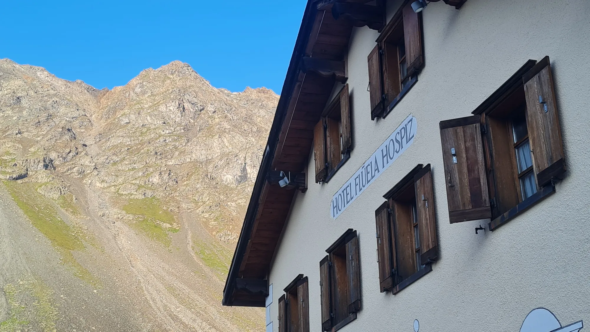
Is this the queen stage? Three passes are on the plan. In the morning the sun is already on the hospice's shutters, and the descent into the Engadin is cool and long. My shadow rides along next to me.
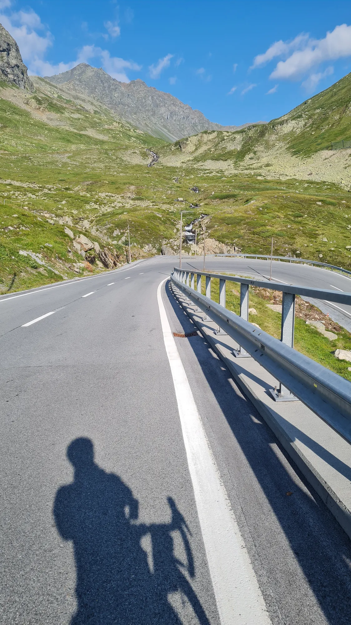
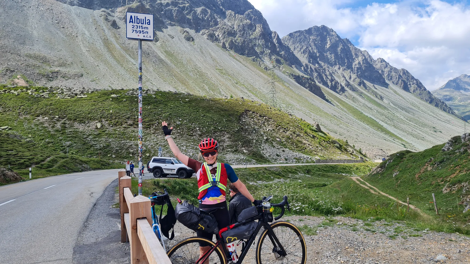
From La Punt I climb to the Albulapass (from La Punt: 10 km, 630 m of climbing, 6.5 % on average). The road is almost empty and runs through wide green meadows while the rocky peaks get closer and closer. At the top I throw my arm in the air.
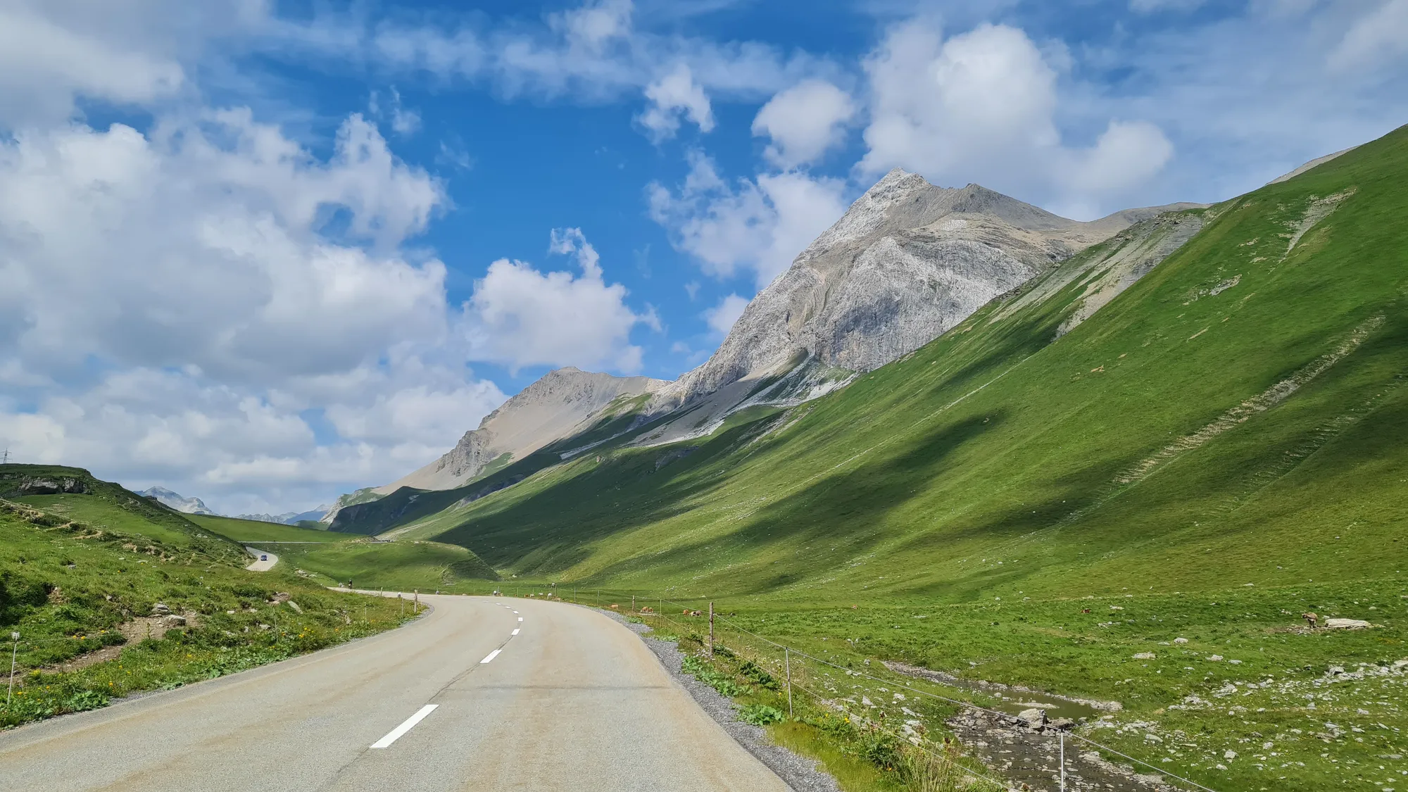
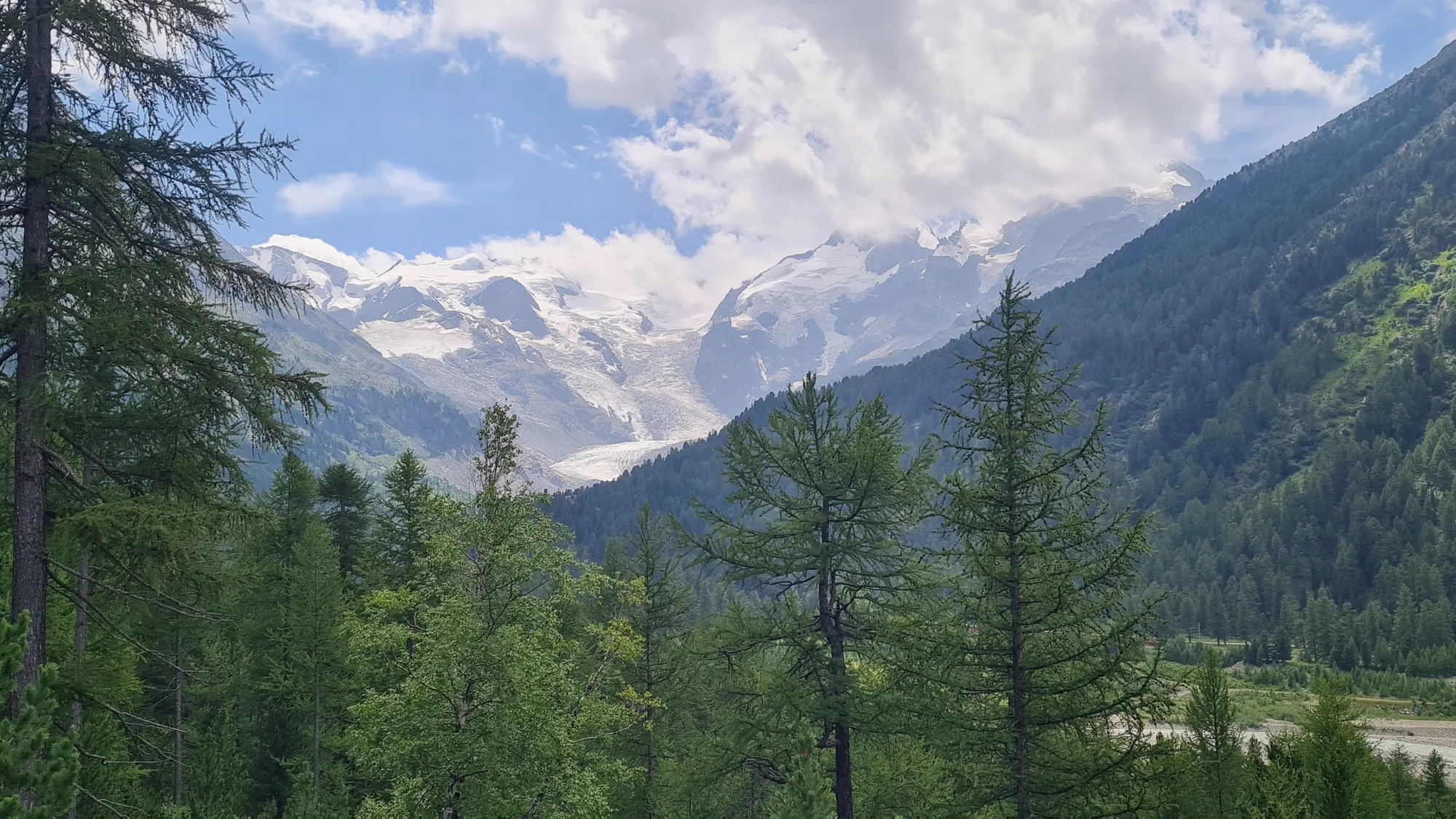
Back in the valley an opponent is waiting that I hadn't counted on: headwind. From La Punt almost all the way up to the Bernina it blows straight in my face and tries pretty hard to break my spirit. Nothing that coke and espresso can't fix. The view makes up for it: glaciers shine behind the larch forest, and at the top of the Bernina the Lago Bianco is a turquoise that almost looks fake. Honestly, the Bernina (from Pontresina: 15 km, 520 m of climbing, 3.5 % on average) is my highlight of today's three passes.
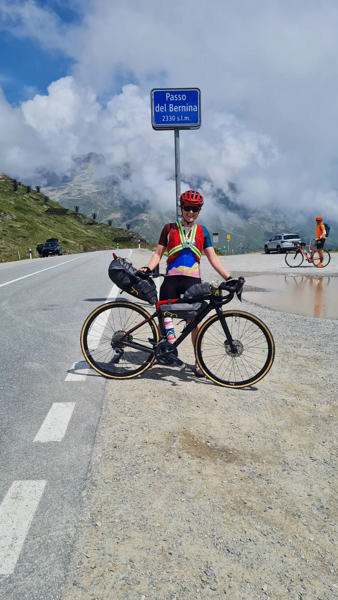
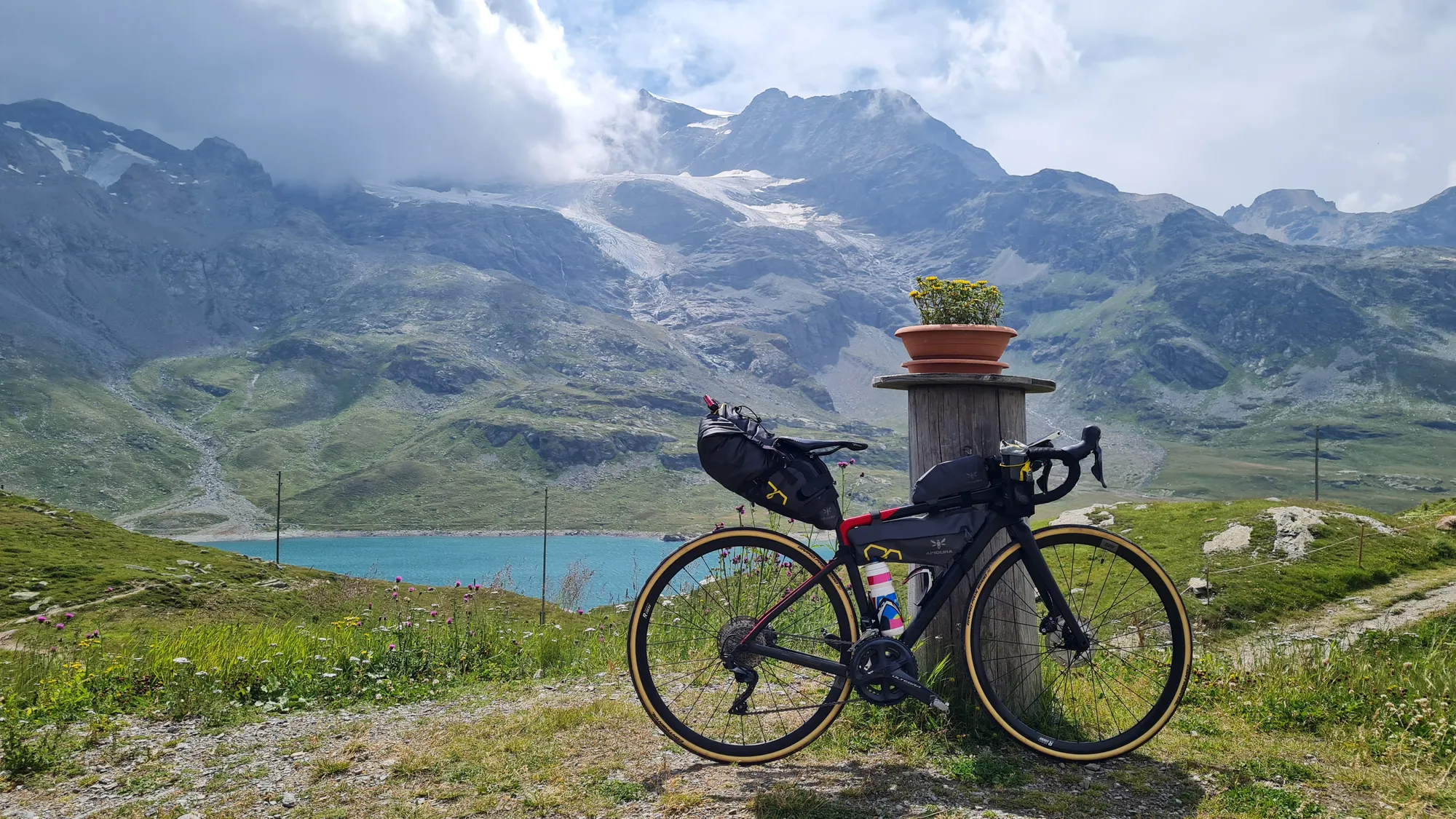
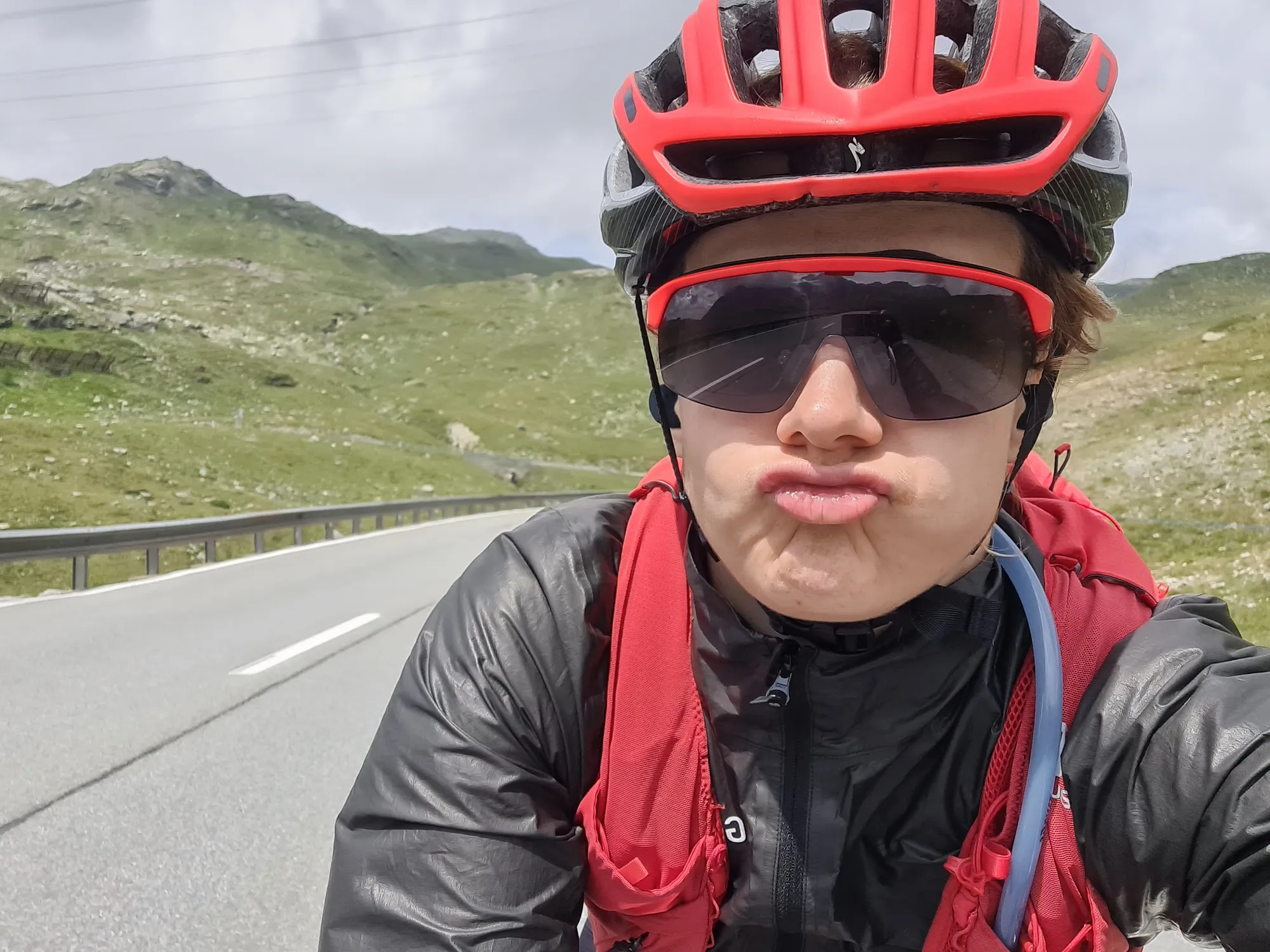
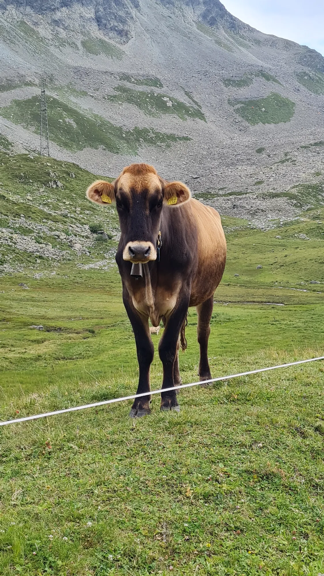
The third pass of the day is the Julier (from Silvaplana: 7 km, 460 m of climbing, 6.5 % on average). The Romans already crossed the Alps here, and at the top there are still remains of their columns. A cow by the roadside watches me curiously as I pass.
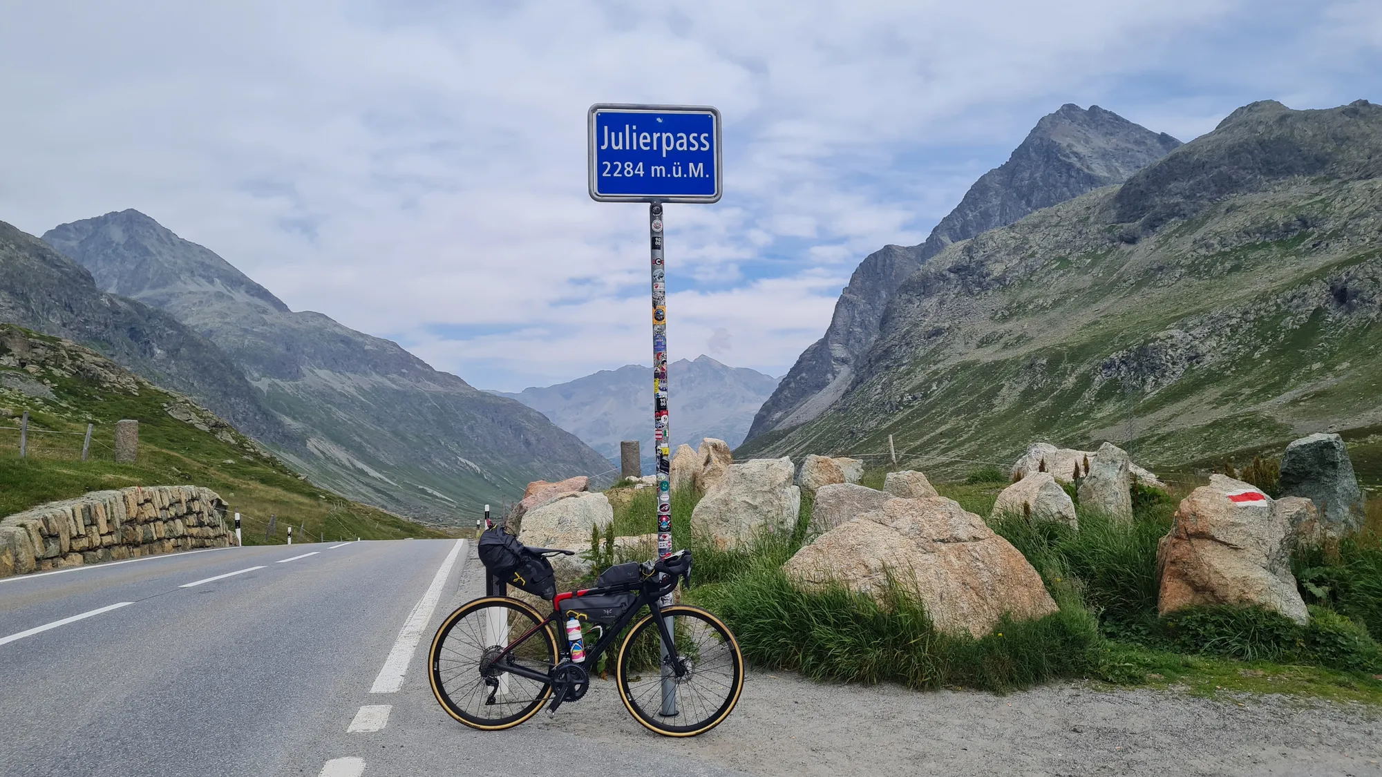
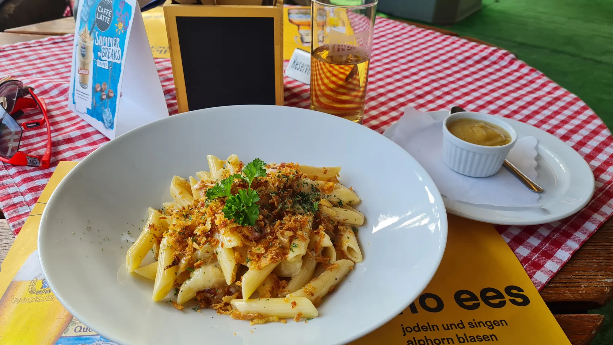
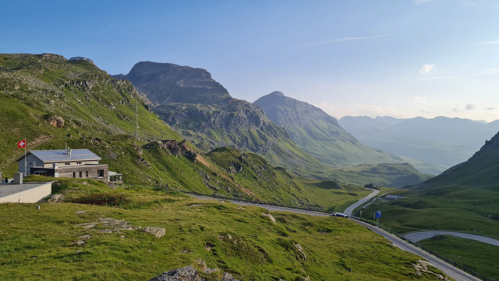
I spend the night at the Julier Hospiz, just below the top of the pass. There's Älplermagronen with apple sauce, and afterwards I go for a little walk around the hospice. The evening light settles over the pass road, and I'm pretty much done. A great day in beautiful mountains.
Day 4: Rain, thunderstorm warnings and the Viamala
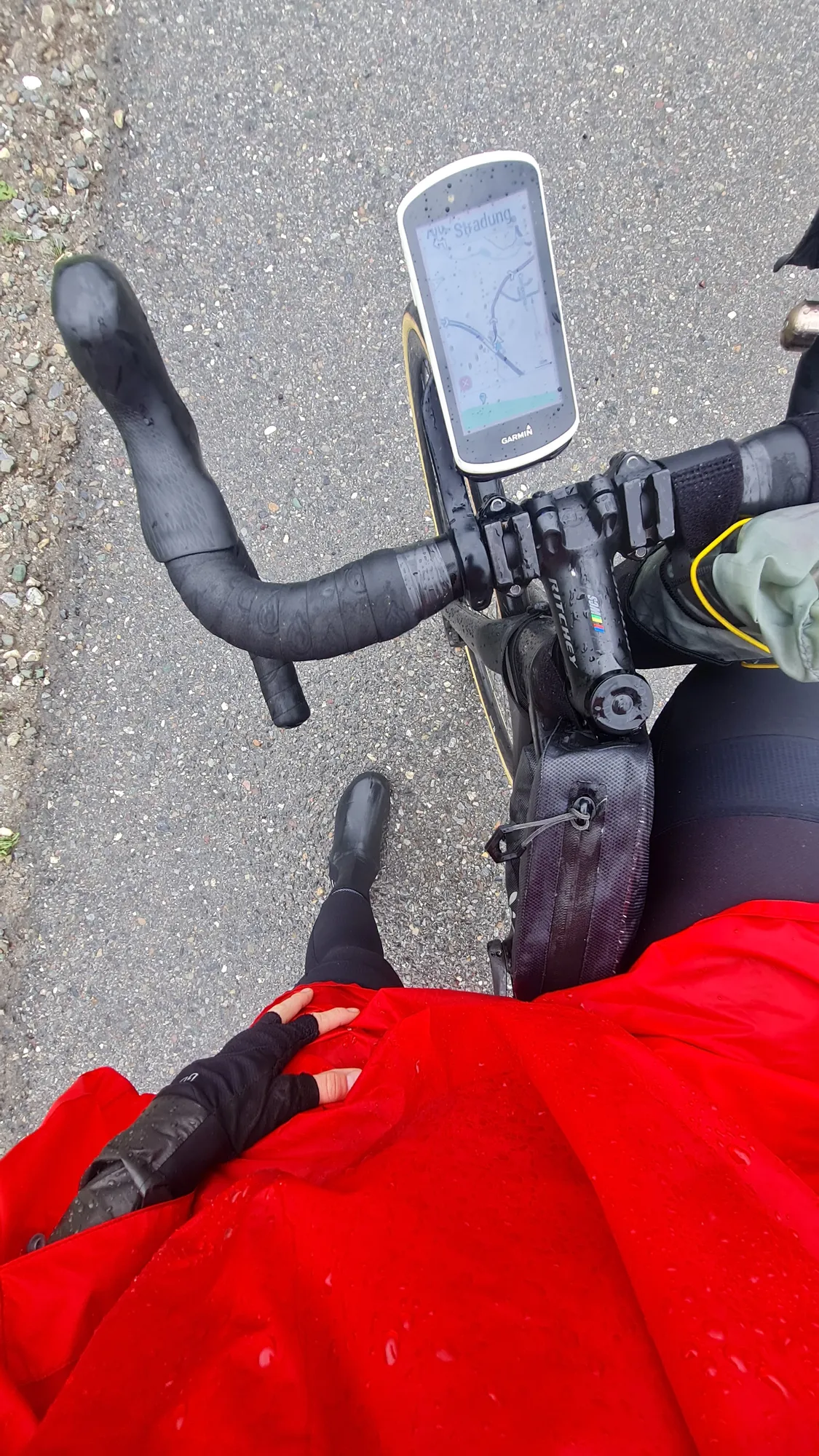
The morning starts wet, and thunderstorms are forecast for the afternoon. The plan was to ride over the Malojapass and the Splügenpass today. Because of the thunderstorm warning I change the plan and go for the shorter, less demanding option through the gorges to Nufenen in the Rheinwald.
Today the rain poncho comes out. It's not aero at all, but it does its job really well. There are only a few dry moments today.
From Tiefencastel to Thusis I ride the road, and I wouldn't do it again: this section is not suitable for cyclists. Take the train here instead. That's why the GPX file leaves this section out as a train ride.
In Thusis I warm up with a coffee first. Further up the valley I stop again at a restaurant whose name I sadly can't remember. All that matters is getting warm and catching my breath before heading back out into the weather. The Viamala gorge takes its name from the "bad way", and it really was a dreaded passage on the way across the Alps. Today a narrow path runs beneath overhanging rock.
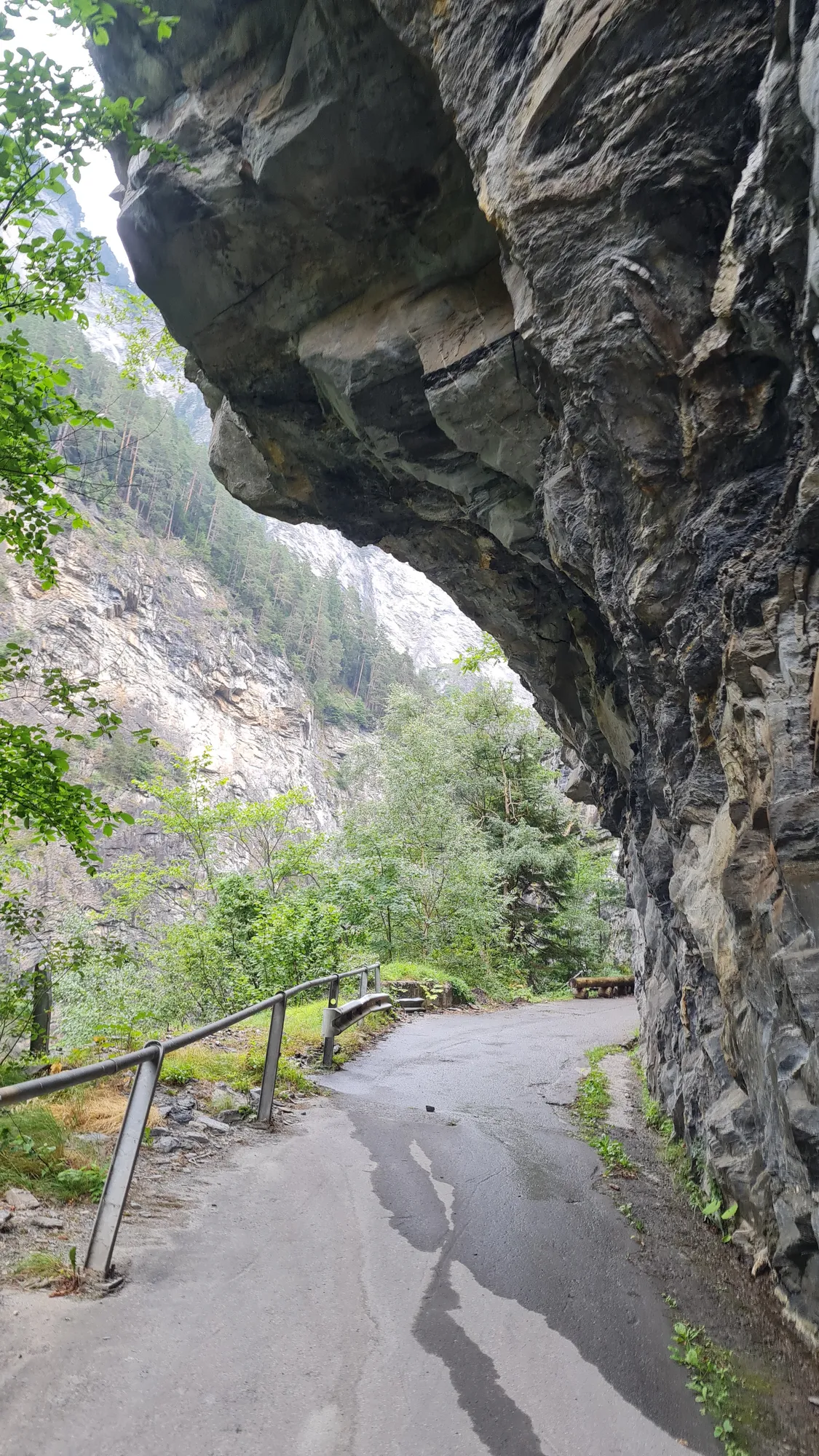
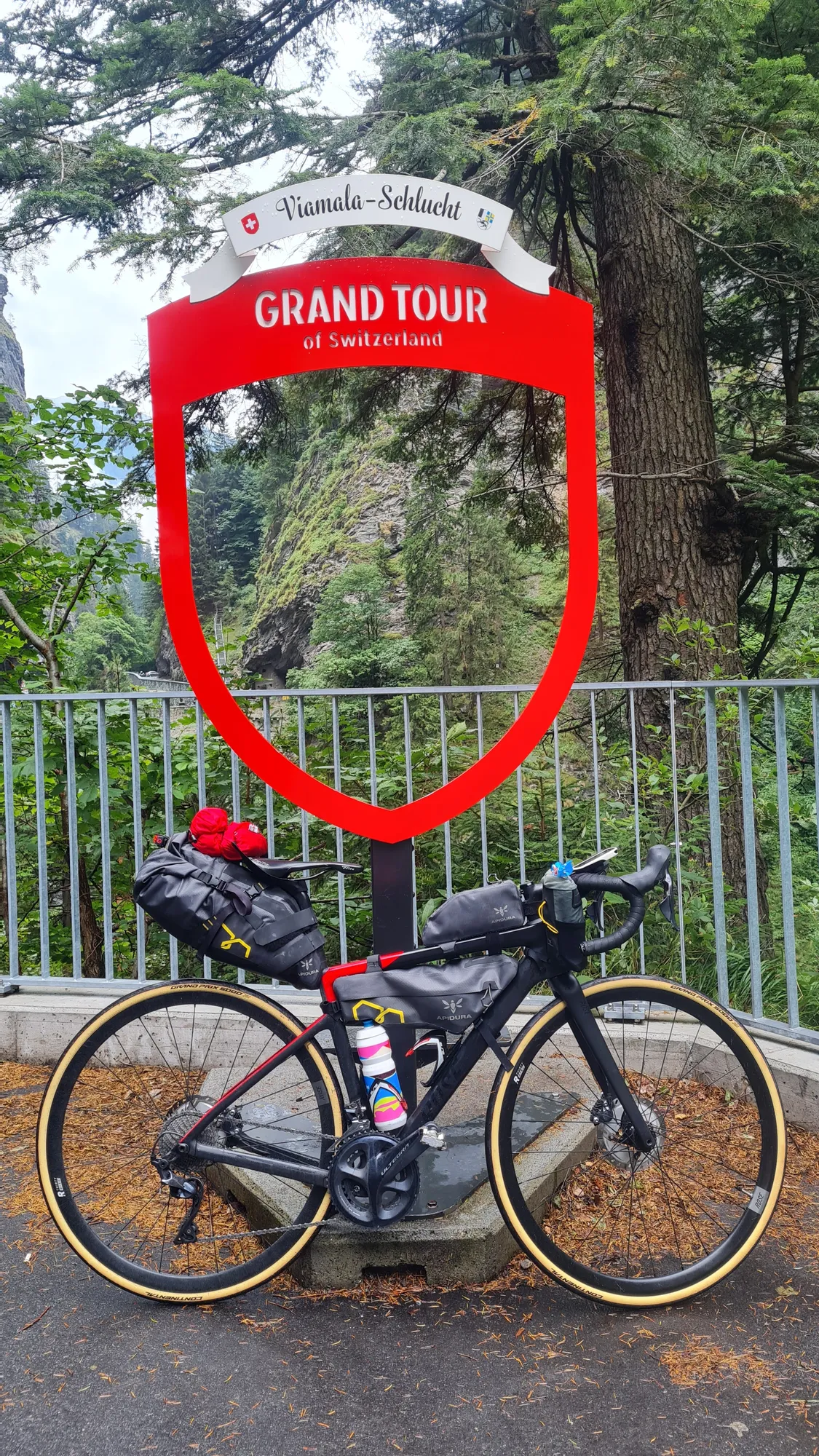
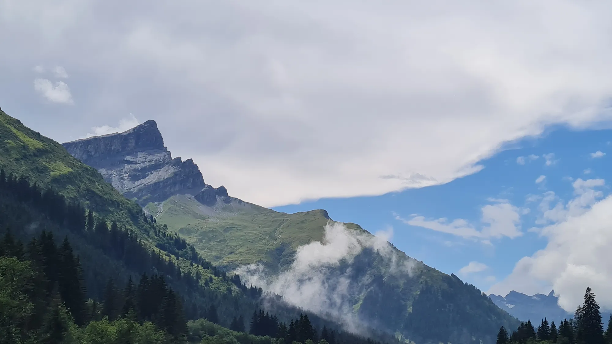
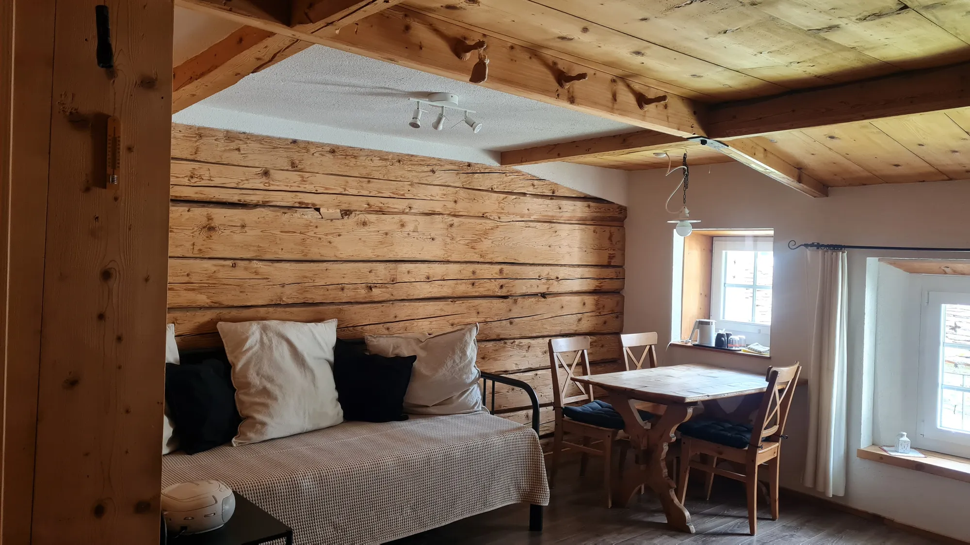
It remains a rather nasty day in the saddle. The clouds hang in shreds on the rocky peaks above the Rheinwald. Only the last four kilometres are in sunshine. The night is at the B&B im Schloss in Nufenen, an old mule-trader’s house in the middle of the village. My room is panelled in wood throughout. Because I'm there early, I spend the afternoon recovering from the rain and watching the Tour de France Femmes. Nufenen here is the village in the Rheinwald, by the way, not the pass of the same name; I only get to that on the last day.
Day 5: San Bernardino and Lukmanier, in love with Ticino
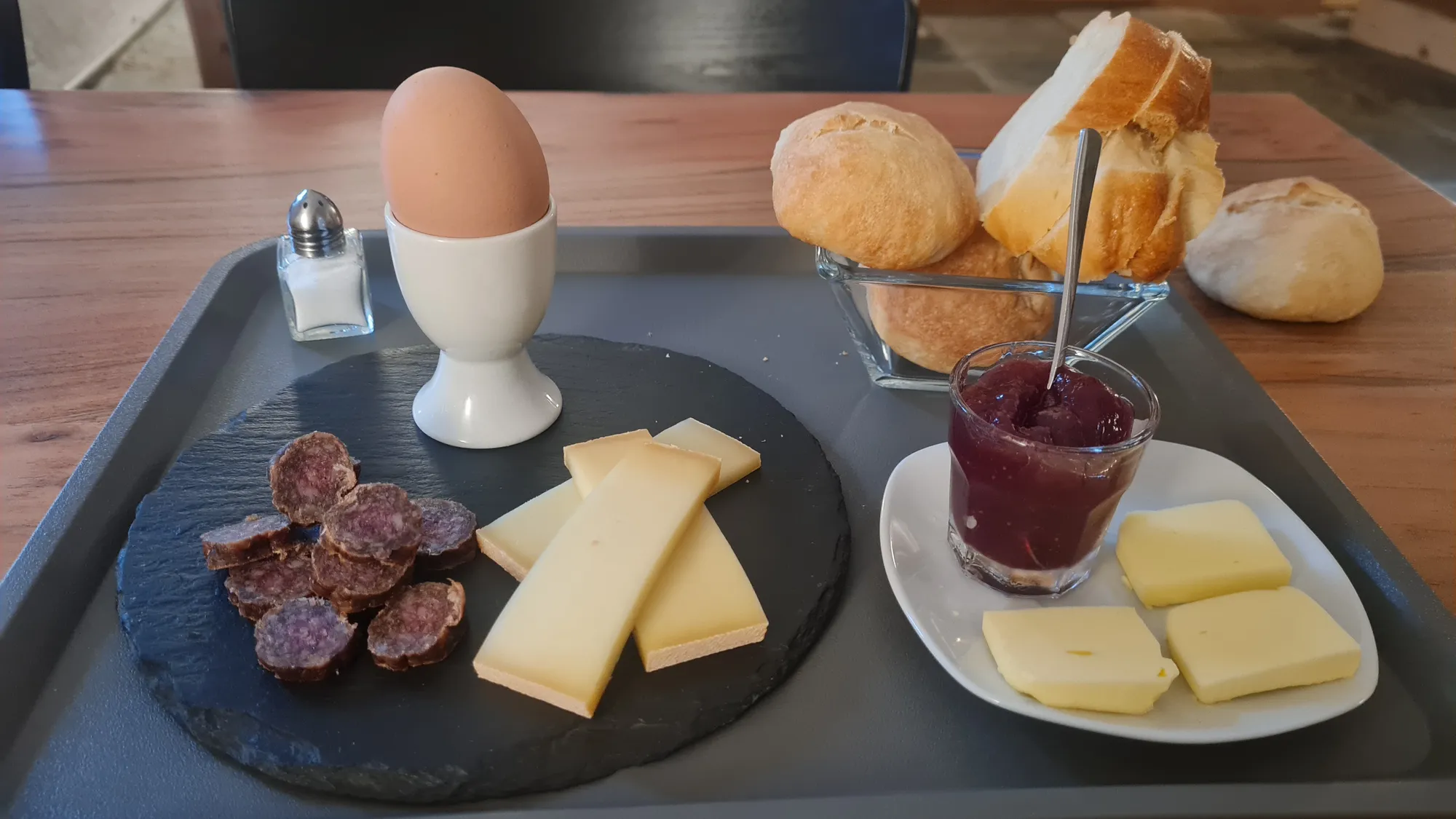
After a breakfast of egg, cheese, dried sausage and jam I roll up the Rheinwald to Hinterrhein. Fog still sits in the forests, and the hairpins up to the San Bernardino disappear somewhere into the cloud (from Hinterrhein: 10 km, 460 m of climbing, 4.5 % on average).
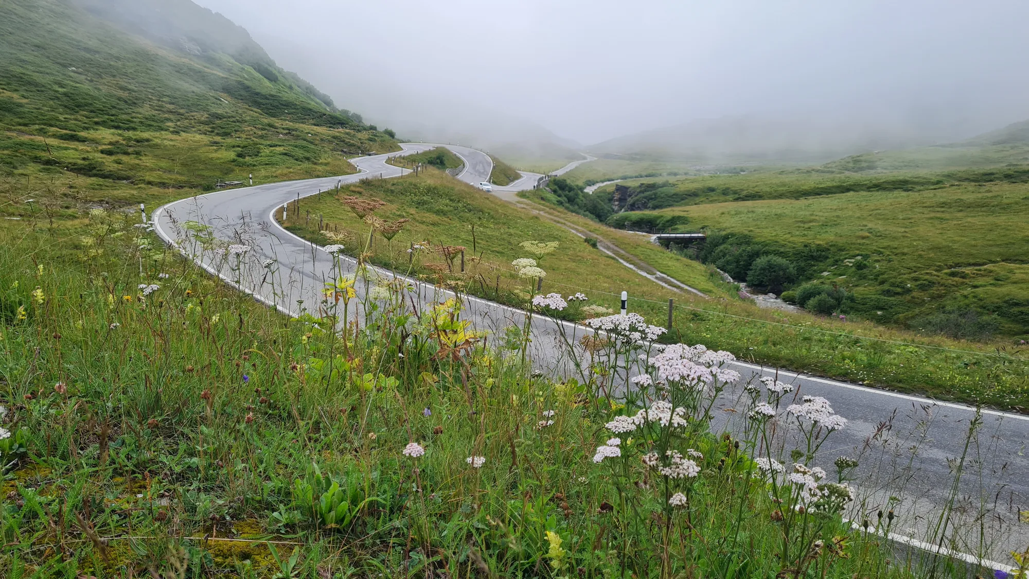
The whole way up and at the top I'm completely alone, apart from a few cows lying by the road in the hairpins, watching me. At the pass the clouds break up, and I'm instantly in love. The top of the San Bernardino is a landscape of rocky knolls, small lakes and clouds hanging between the peaks. For me this is clearly one of the big highlights of the trip. The Misox opens up below me, and with the descent Ticino begins.
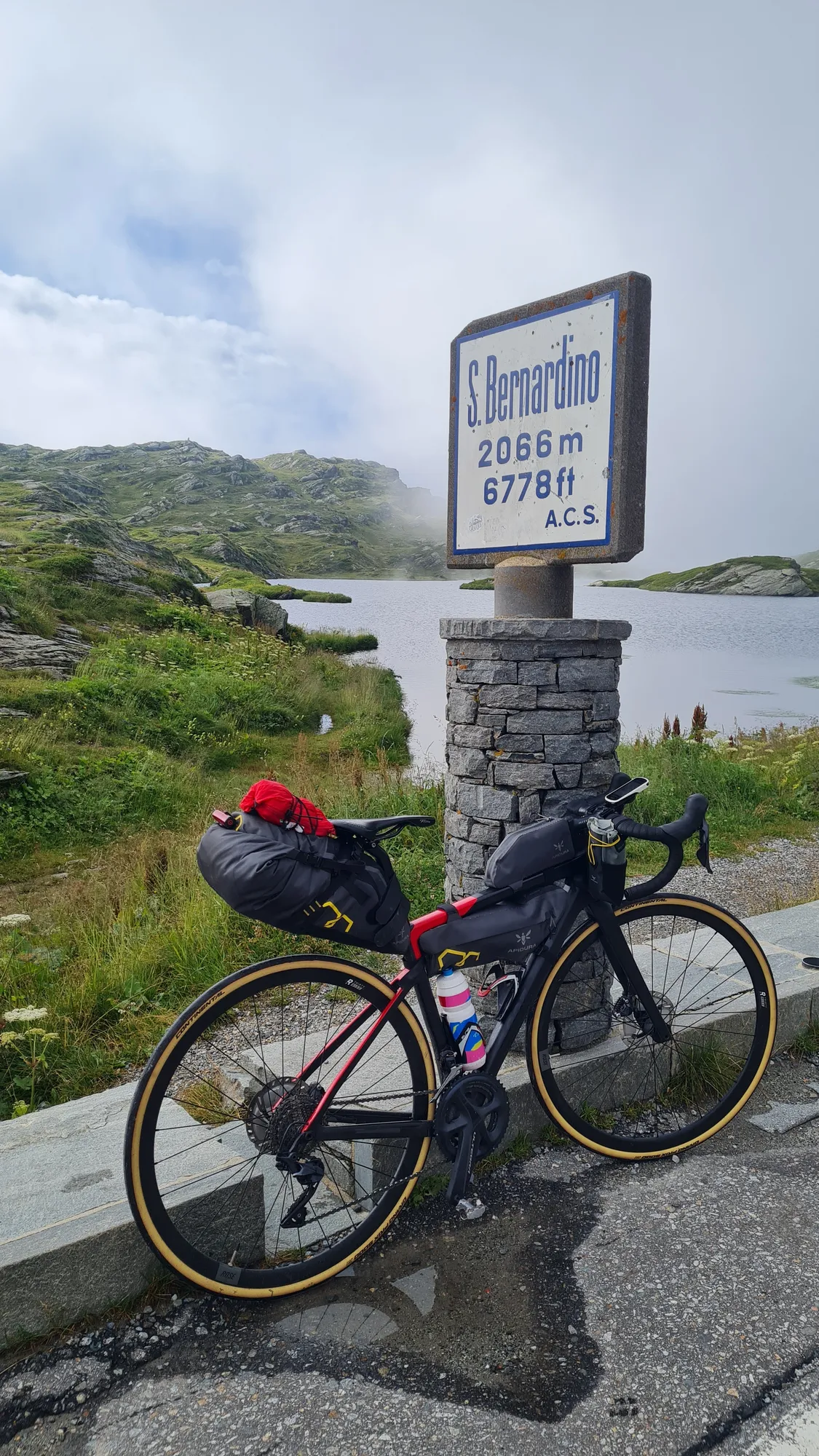
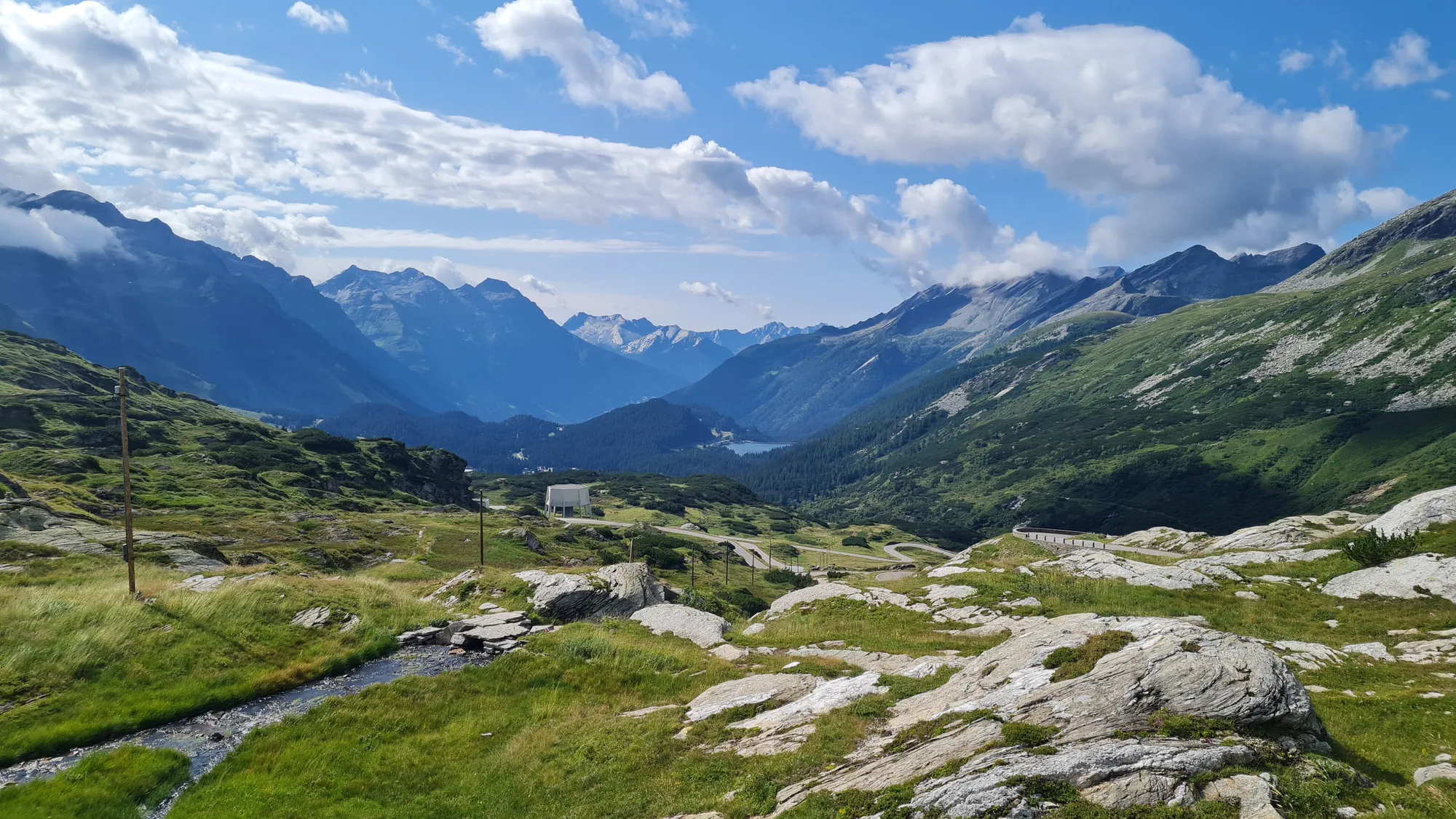
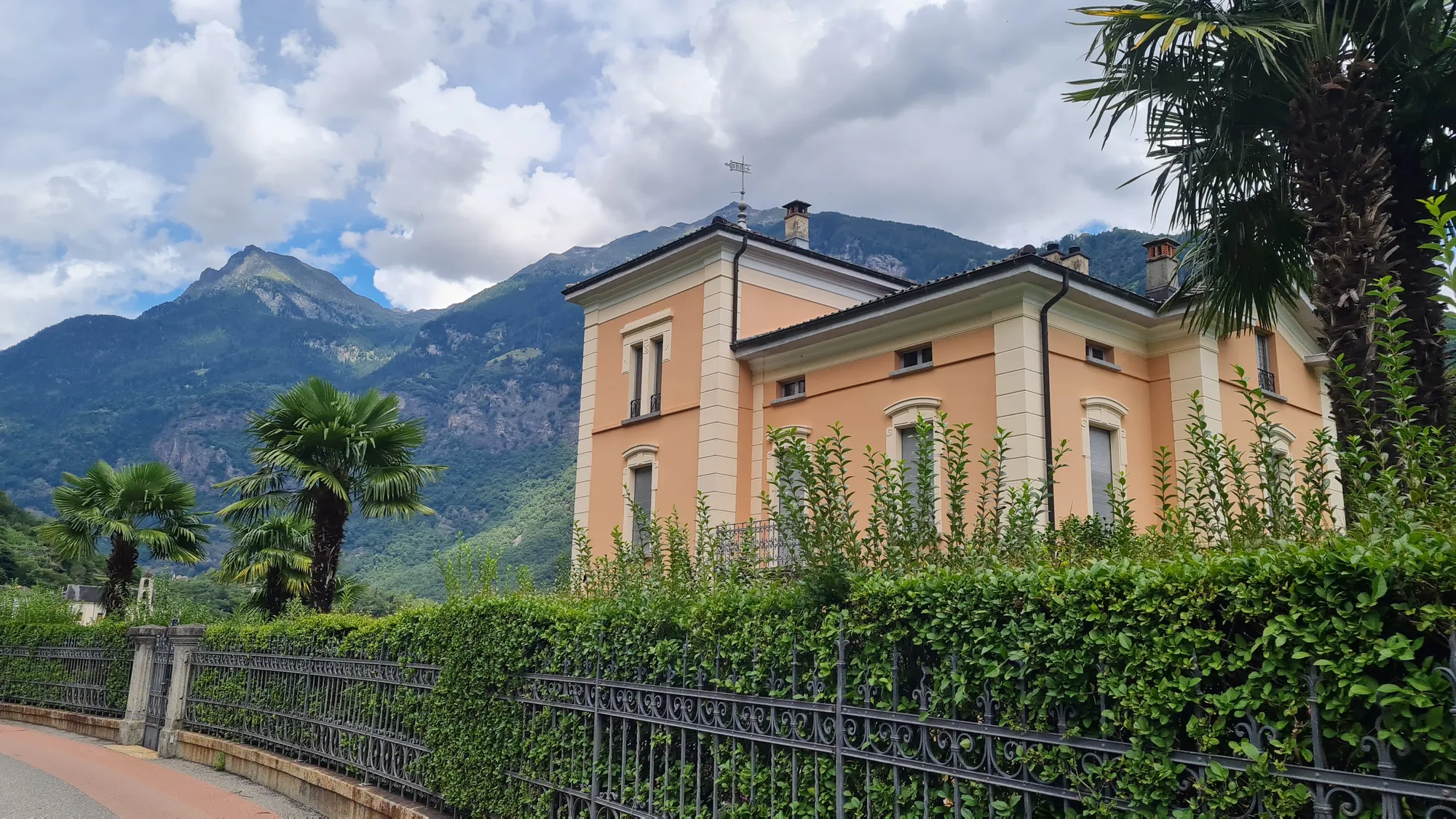
In the south the world suddenly looks different. In the morning I was still riding past cows and wisps of fog, and a few hours later there are palm trees in front of a yellow villa by the road. Lunch is risotto and a really good espresso.
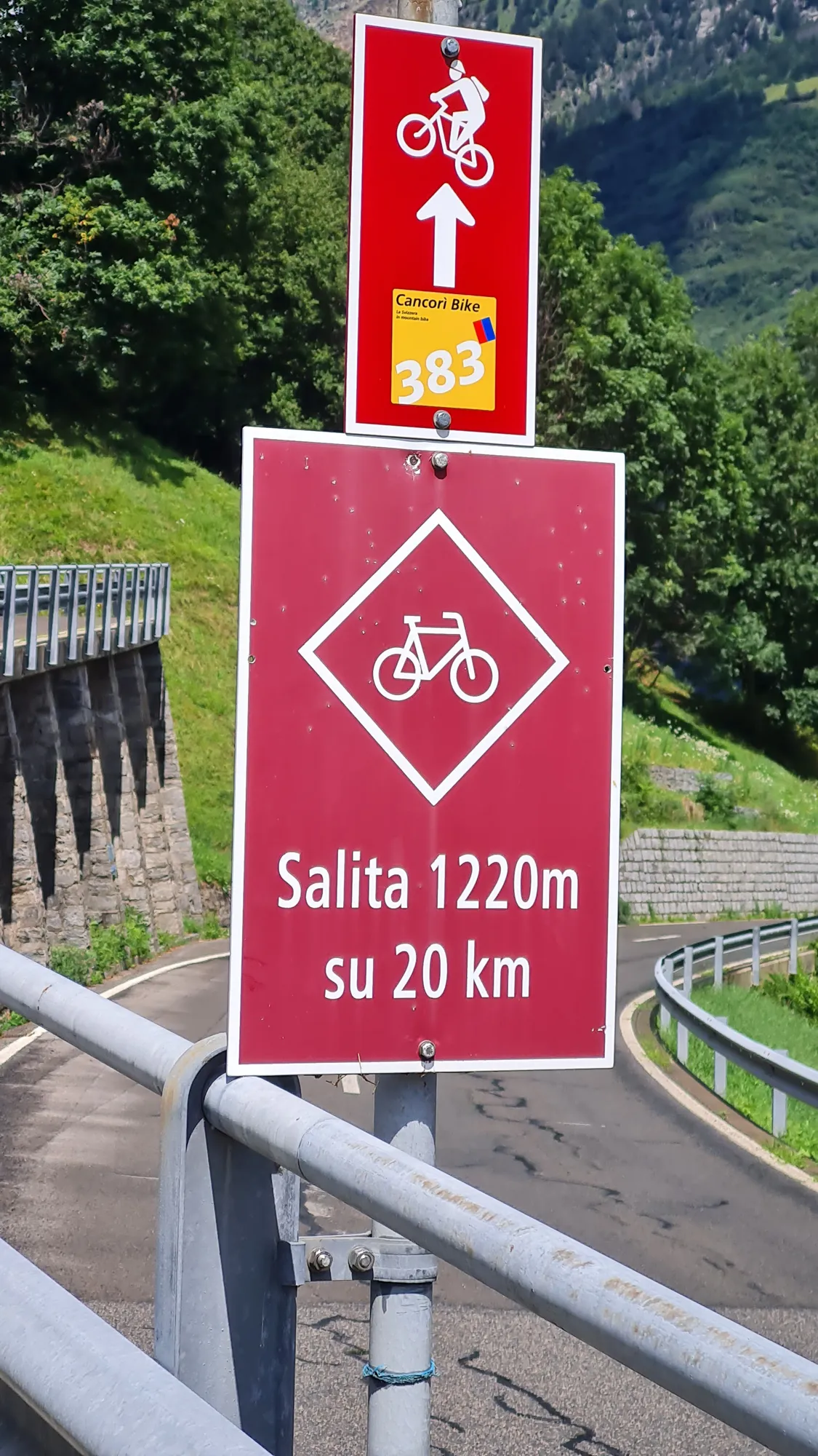
Then comes the long climb through the Blenio valley to the Lukmanierpass (from Biasca: 40 km, 1700 m of climbing, 4.5 % on average). "Salita 1220 m su 20 km" says the sign, and that's how it feels. But the cycle signposting is very good and leads you along small back roads with hardly any traffic. And the good weather is back.
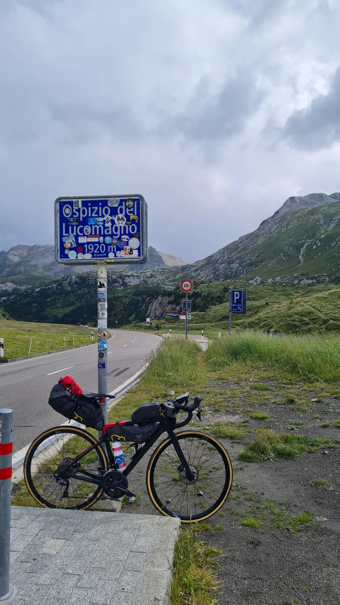
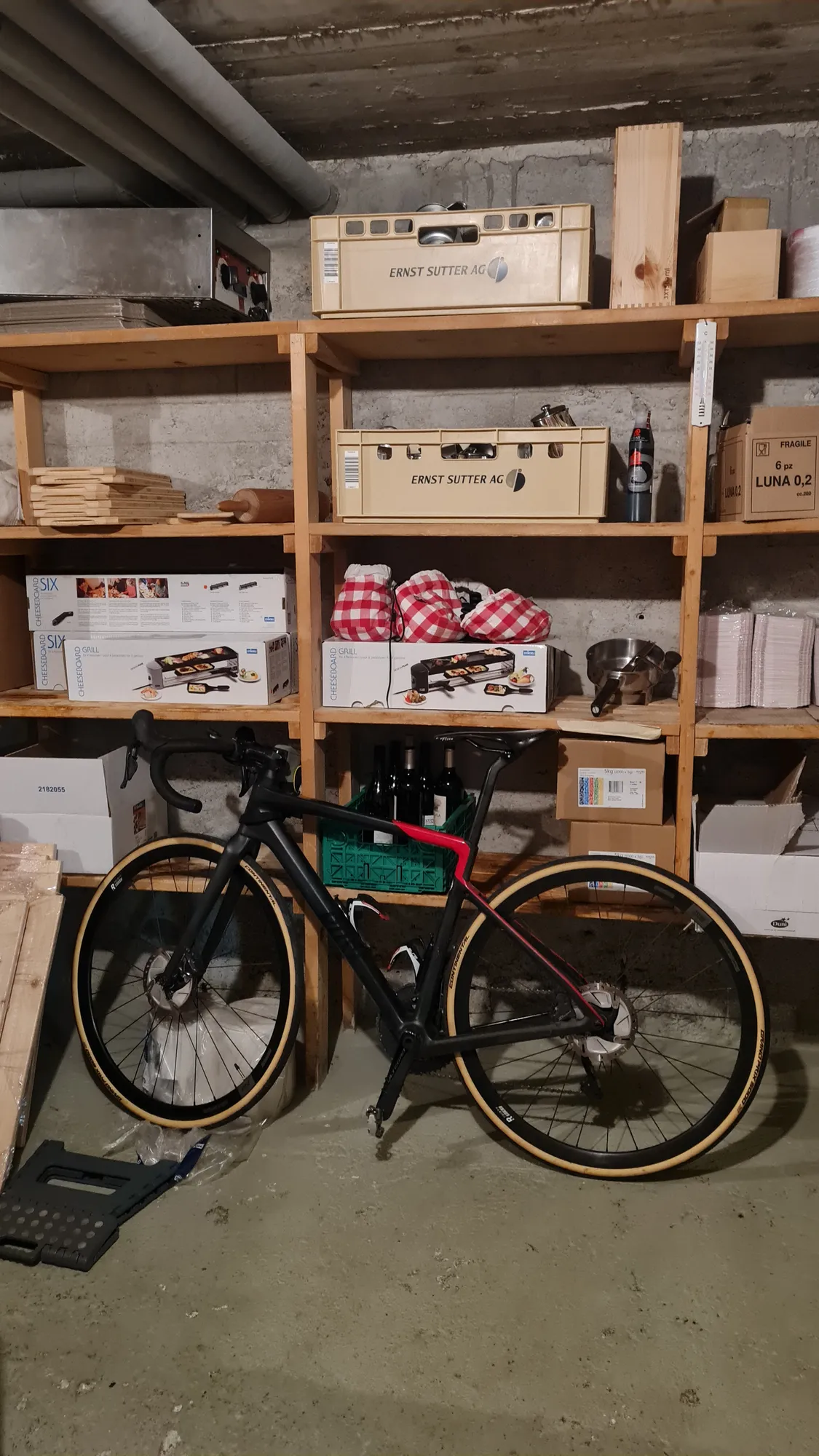
The top of the Lukmanier turns out to be the least spectacular so far and somehow doesn't have the vibes. But okay, not every pass can be a San Bernardino. My bike spends the night in the hospice's storeroom, right next to the raclette machine.
Day 6: Oberalppass in the rain and the Gotthard in the fog
The morning after the Lukmanier is really cold. I put on everything I've brought: gloves, every layer, high-vis vest over the top. Cows with their bells stand in the pastures, and I roll down to Disentis.
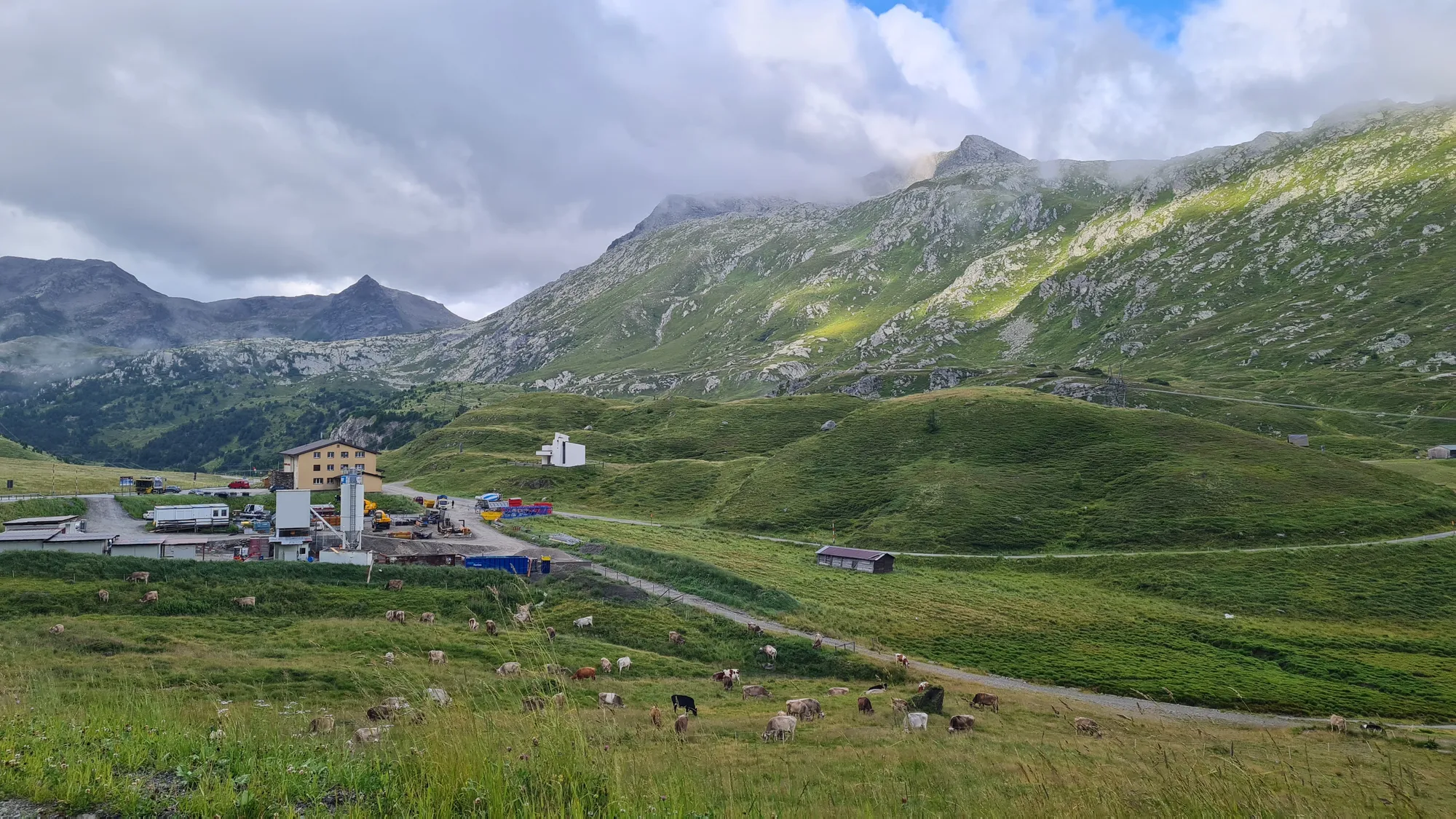
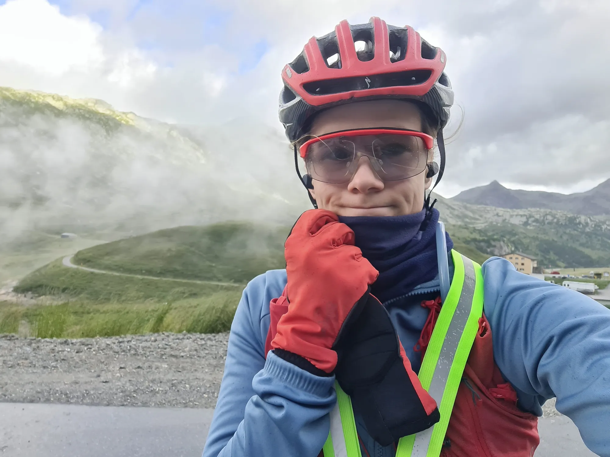
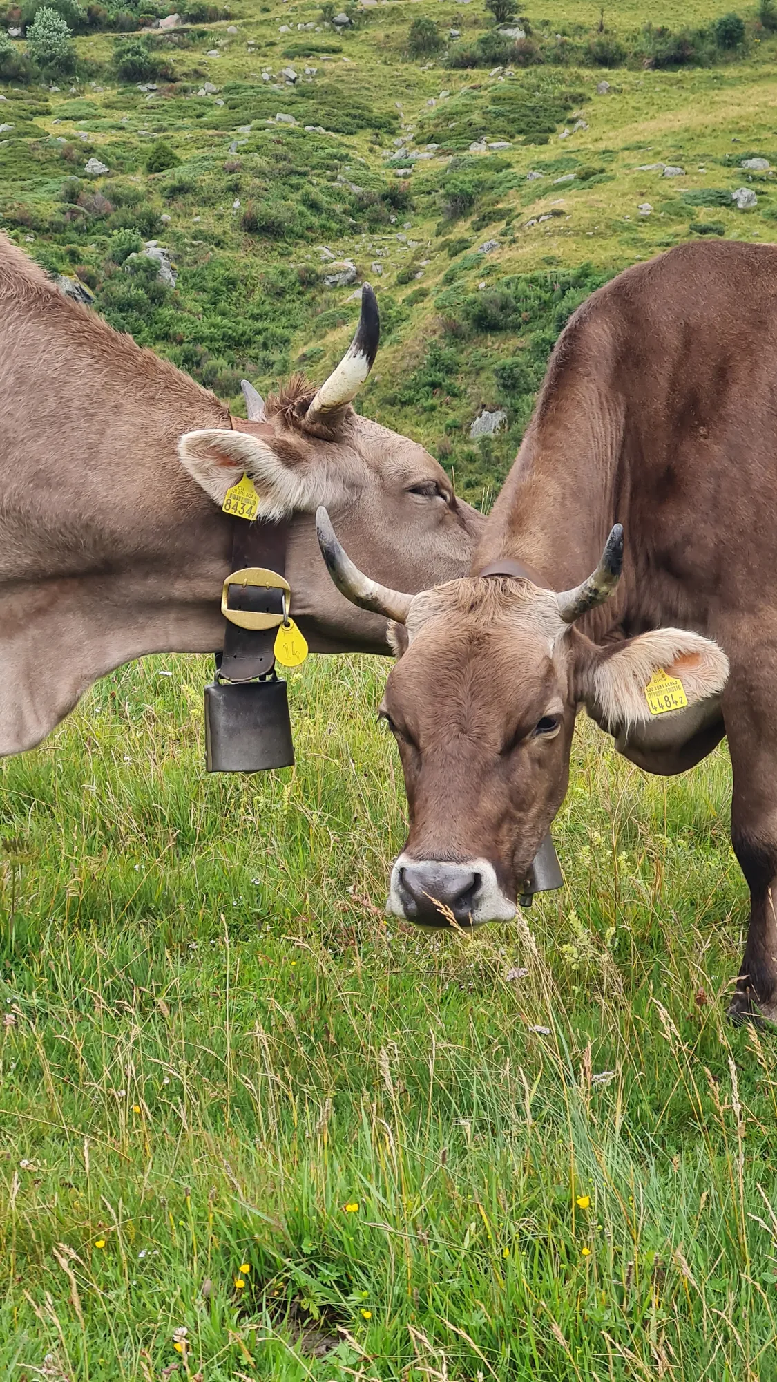
The Oberalppass (from Disentis: 21 km, 900 m of climbing, 4.5 % on average) is beautiful even in the rain. The hairpins wind up between low clouds, and at the top, close to the source of the Rhine, there really is a lighthouse. The last kilometres down to Andermatt are still tough. In Andermatt the bikepacking part of this trip ends.
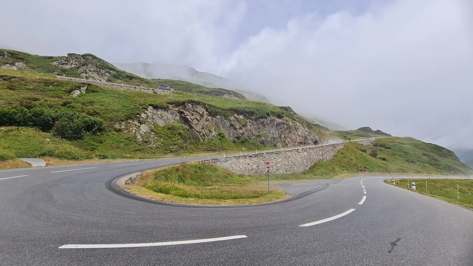
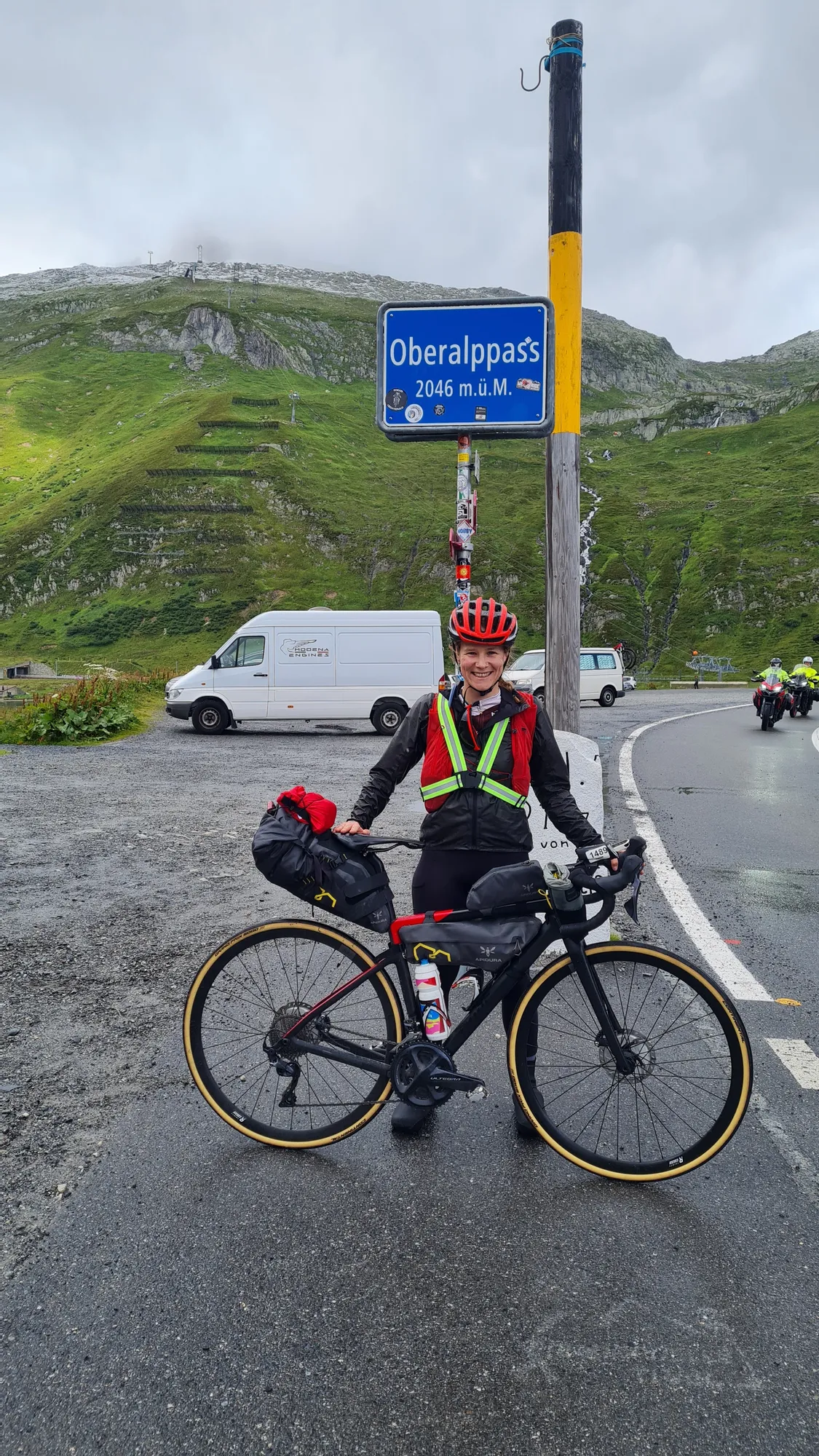
I drop off the bags and carry on without luggage, up to the Gotthard (from Andermatt: 11 km, 670 m of climbing, 6 % on average). When I set off, the weather looks fantastic. At the top there's thick fog. On the climb I meet a few riders from the Transcontinental Race grinding their way up the Gotthard too. The ultra-cycling race runs right across Europe, and I'd been dotwatching diligently the days before, following the riders' GPS dots on the map. Now suddenly they're right next to me. Go go go, Marcos!
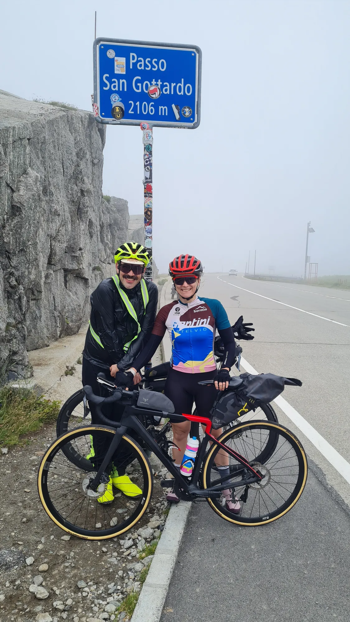
Day 7: Furka, Grimsel and Nufenen
There are countless routes from Andermatt, so I'm only showing one here. After the solo days it's really nice to have company now: we met up in Andermatt, and from here on we ride together. We ride through the Urseren valley to Realp and up to the Furkapass (from Realp: 12 km, 880 m of climbing, 7.5 % on average).
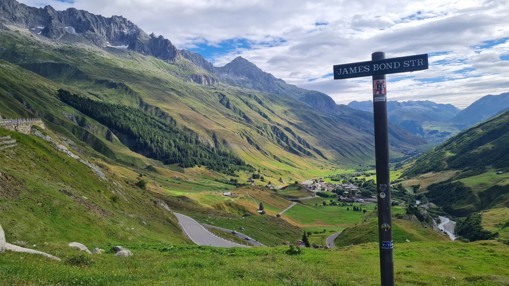
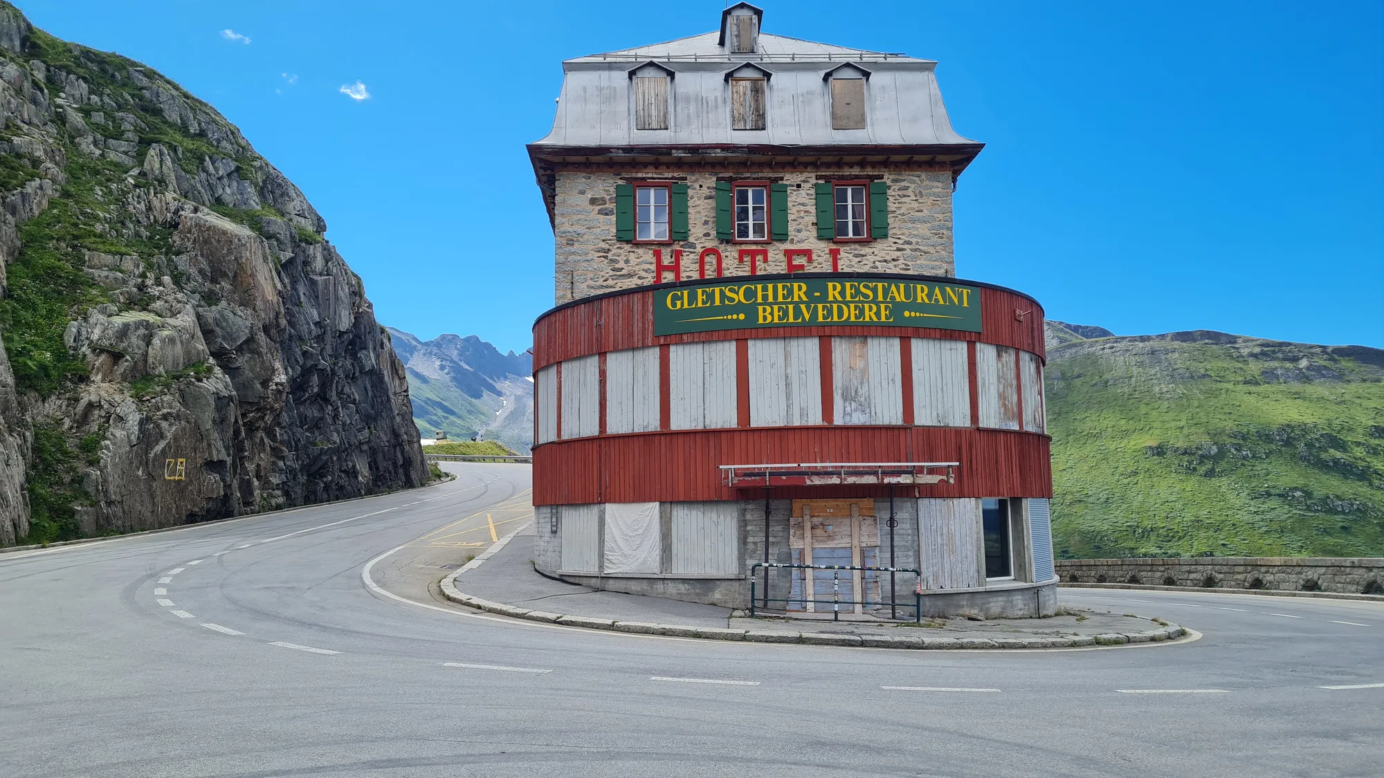
You just have to love the Furkapass. On the other side of the pass the hairpins of the Grimsel road cling to the opposite slope, and in one bend stands the Hotel Belvédère at the Rhône Glacier, empty today and still one of the best-known photo spots in the Alps. Down in Gletsch we turn off to the Grimsel (from Gletsch: 6 km, 410 m of climbing, 6.5 % on average), up and back again.
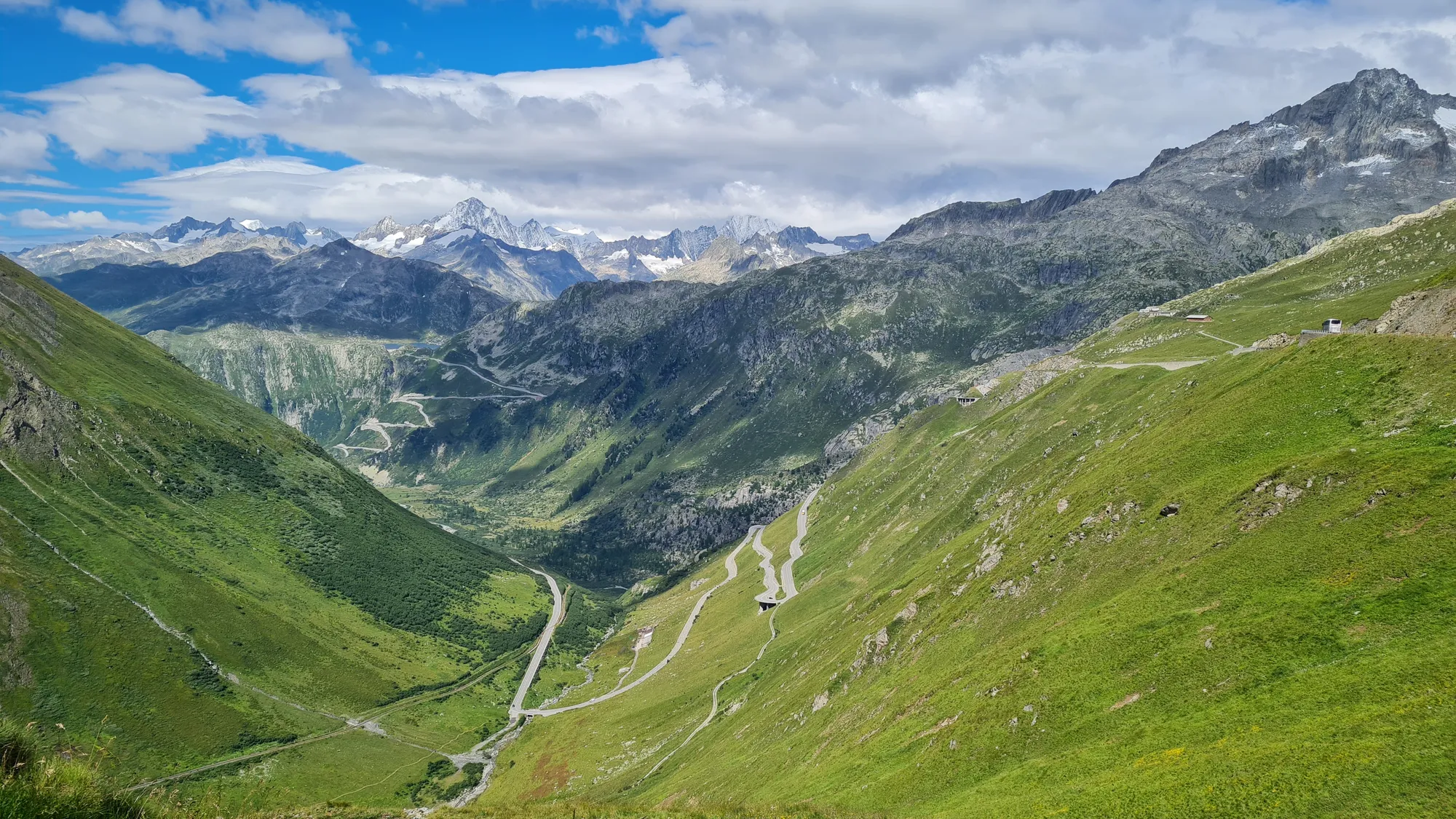
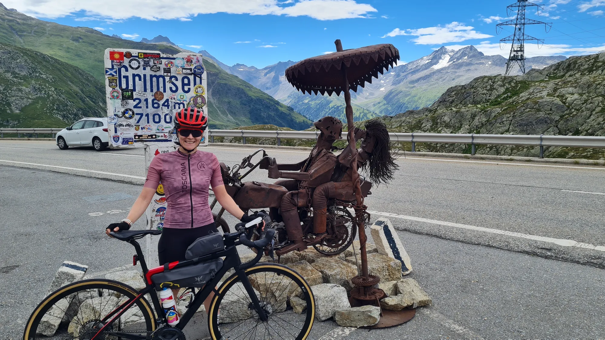
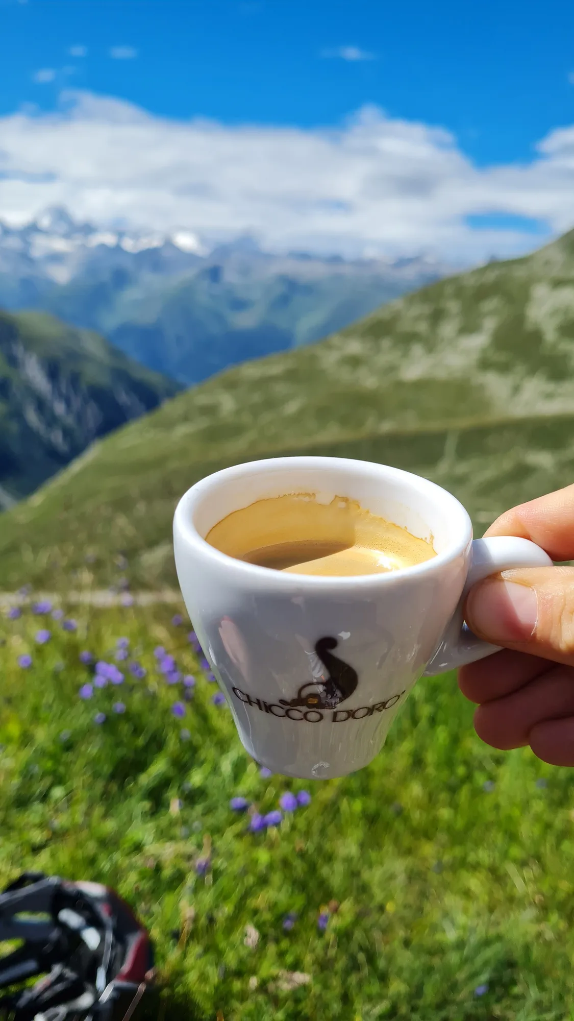
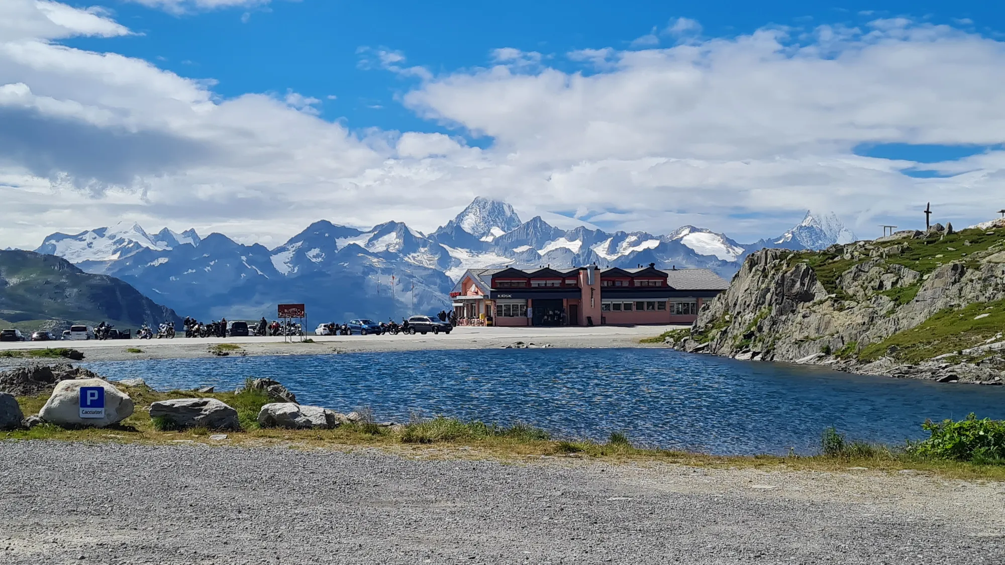
Through the Goms we ride to Ulrichen and from there to the Nufenenpass. At 2478 metres it's the highest road pass lying entirely within Switzerland. From Ulrichen it's 14 km and 1130 m of climbing, 8 % on average. And it's just so, so beautiful. At the top there's another well-deserved espresso with a view of the snow-capped peaks. The weather is fantastic, the legs are getting heavy, the mood is at 100 per cent.
Today the legs aren't up to the descent to the Ticino side. So we roll back down the same way to Ulrichen and take the train from there: the Matterhorn Gotthard Bahn takes us through the Furka base tunnel back to Andermatt.
A few days in Andermatt
Afterwards we stay in Andermatt together for another three days. There's so much to do around here that three days are hardly enough: passes in every direction, and the gravel is supposed to be really good too. That's something I still have to explore next time.
Good to know
- Getting there: I took the train to Lindau. I went home by car, but from Andermatt it is easy to get home by train too.
- Train instead of road: Between Tiefencastel and Thusis you're best off taking the train; the road is not suitable for cyclists. The GPX file leaves this section out, and the kilometres for day 4 don't include it.
- Where to stay: The nights right at the top of the passes are really cool, if only for the atmosphere. And by Swiss standards they're good value too. You'll find every place to stay in the stage details.
- Weather: Above 2000 metres it can be cold and wet even in July. Pack gloves and a warm layer, and with a thunderstorm warning a shorter alternative route is worth it.
- Change of plan: The original day 4 went over the Malojapass and the Splügenpass. In good weather that's the more beautiful but much more demanding option.
- Ticino: Plan time for a risotto and an espresso at lunch, it's worth it.
Stages & stays
- Stage 1
Lindau → Feldkirch
46 km · 150 m
- Tarmac 90 %
- Gravel 1 %
- Unknown 9 %
s'Matt BOB
B&B · Feldkirch
Self check-in, and the bike can come up to the room. Great breakfast with fresh juice.
- Secure bike storage
- Stage 2
Feldkirch → Flüelapass
93 km · 2,380 m
- Tarmac 96 %
- Gravel 1 %
- Unknown 3 %
Flüela Hospiz
Hospice · Flüelapass
- Stage 3
Flüelapass → Julierpass
123 km · 2,190 m
- Tarmac 99 %
- Unknown 1 %
Julier Hospiz
Hospice · Julierpass
- Stage 4
Julierpass → Nufenen
67 km · 940 m
- Tarmac 97 %
- Gravel 1 %
- Dirt & trail 1 %
- Unknown 1 %
B&B im Schloss
B&B · Nufenen
- Stage 5
Nufenen → Lukmanierpass
126 km · 2,420 m
- Tarmac 97 %
- Gravel 1 %
- Unknown 2 %
Lukmanier Hospiz
Hospice · Lukmanierpass
- Stage 6
Lukmanierpass → Andermatt
76 km · 1,650 m
- Tarmac 98 %
- Dirt & trail 1 %
- Unknown 1 %
Alpenhotel Schlüssel
Hotel · Andermatt
- Stage 7
Andermatt → Ulrichen
82 km · 2,530 m
- Tarmac 97 %
- Gravel 1 %
- Dirt & trail 1 %
- Unknown 1 %
Route on Komoot
External content from Komoot
Showing it connects to Komoot and transfers your IP address. More in the privacy policy